Update on the Smokehouse Creek Fire and Windy Deuce Fire burn scars in Texas
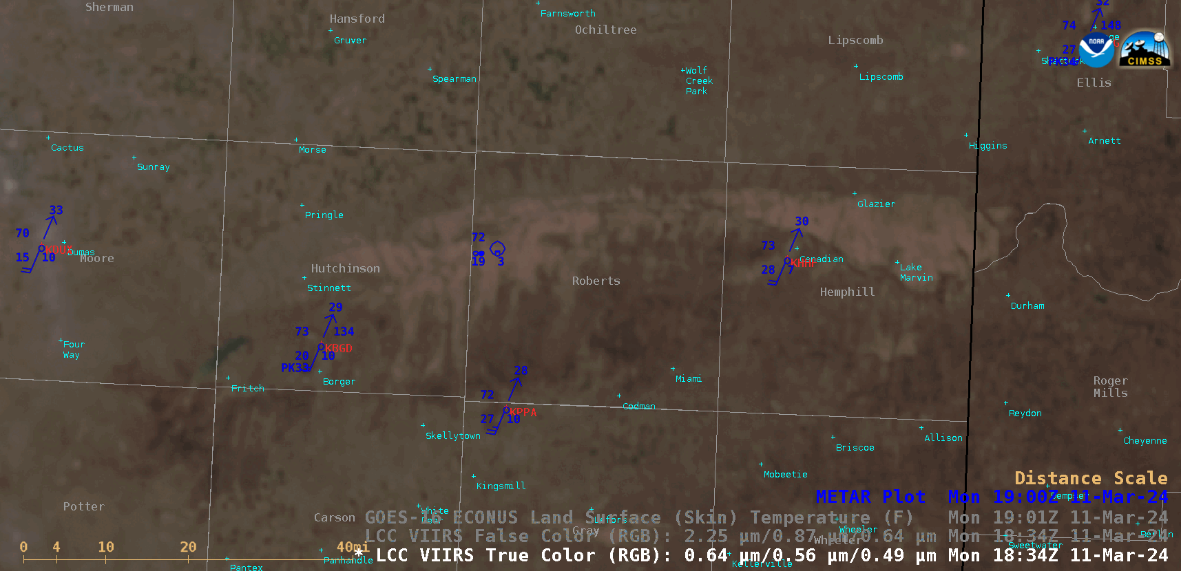
Suomi-NPP VIIRS True Color RGB and False Color RGB images valid at 1845 UTC, with the GOES-16 Land Surface Temperature derived product valid at 1901 UTC [click to enlarge]
A 30-meter resolution Landsat-8 Natural Color RGB image displayed using RealEarth (below) provided a more detailed view of the 2 burn scars.
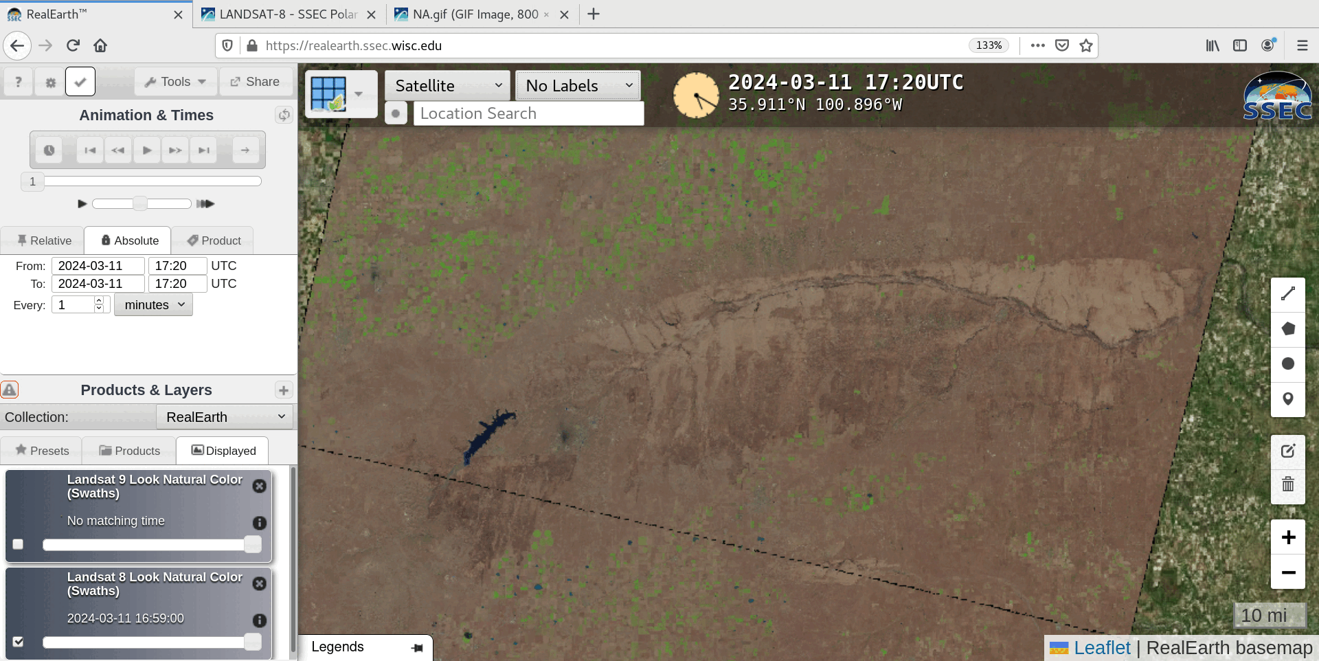
Landsat-8 Natural Color RGB image, valid at 1720 UTC [click to enlarge]