Snow squalls (with some lightning) in Pennsylvania

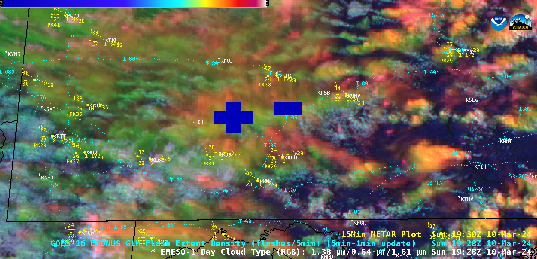
1-minute GOES-16 Day Cloud Type RGB images, with an overlay of GLM Flash Extent Density [click to play animated GIF| MP4]
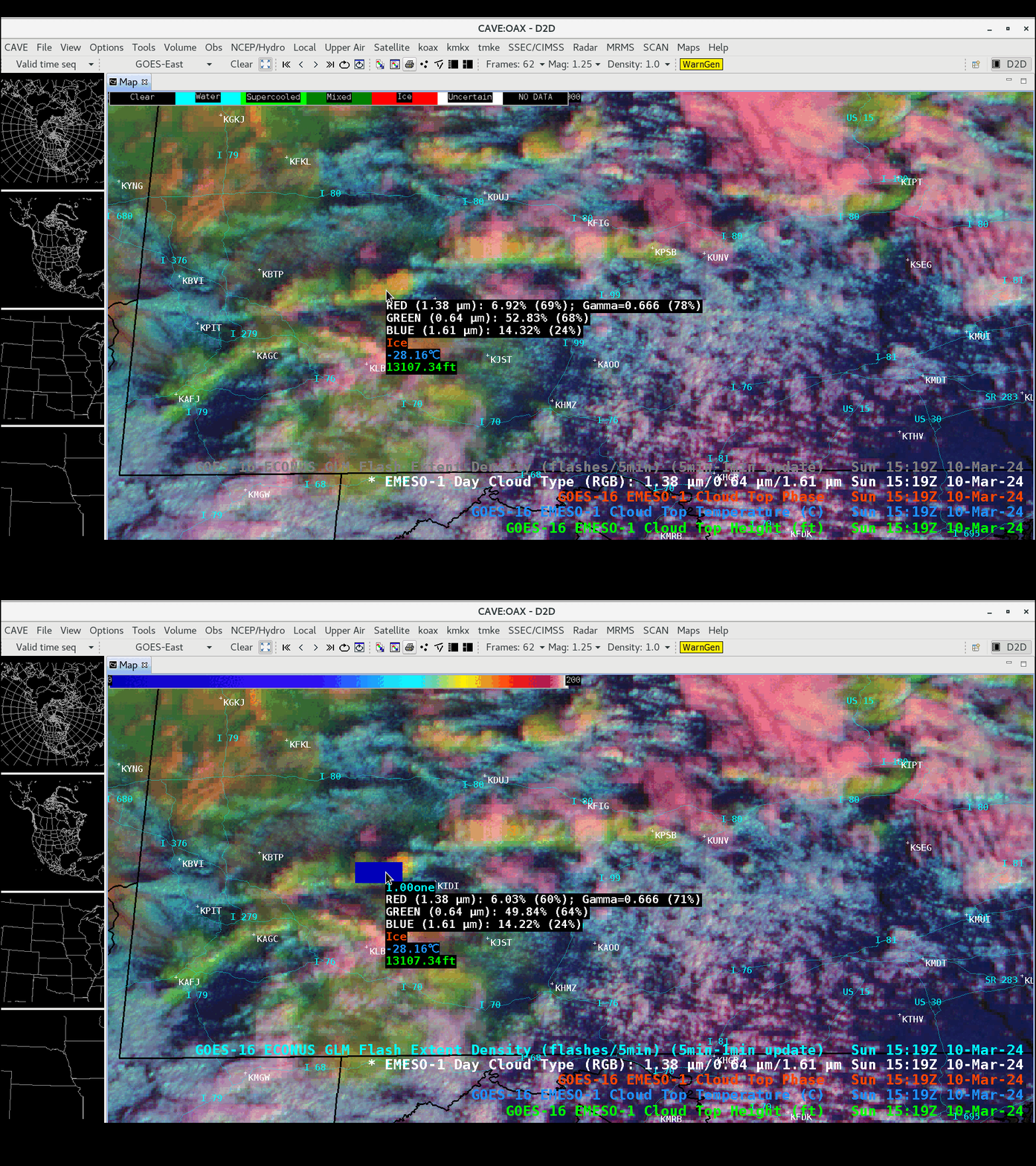
The GOES-16 Day Cloud Type RGB image at 1519 UTC — with/without an overlay of GLM FlashExtent Density — included cursor displays of the corresponding Cloud Top Phase, Cloud Top Temperature and Cloud Top Height derived products near the center of one of the cloud bands (below).
The Pittsburgh and State College NWS forecast offices issued numerous Snow Squall Warnings for these features.

