Eruption of La Cumbre (Fernandina) in the Galápagos Islands
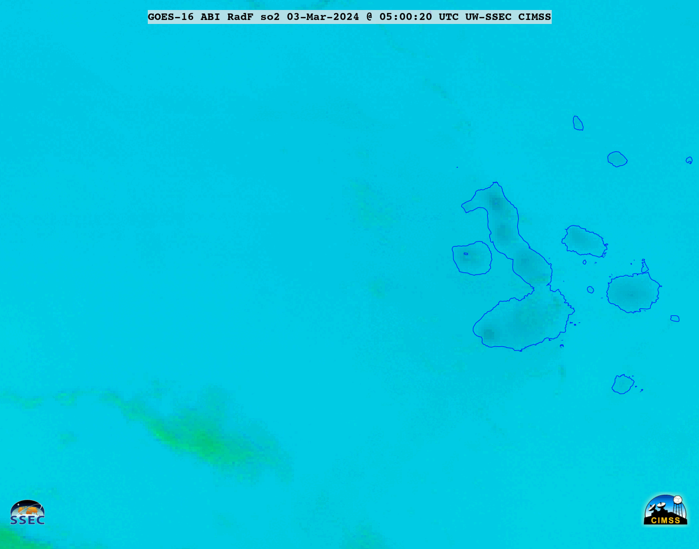
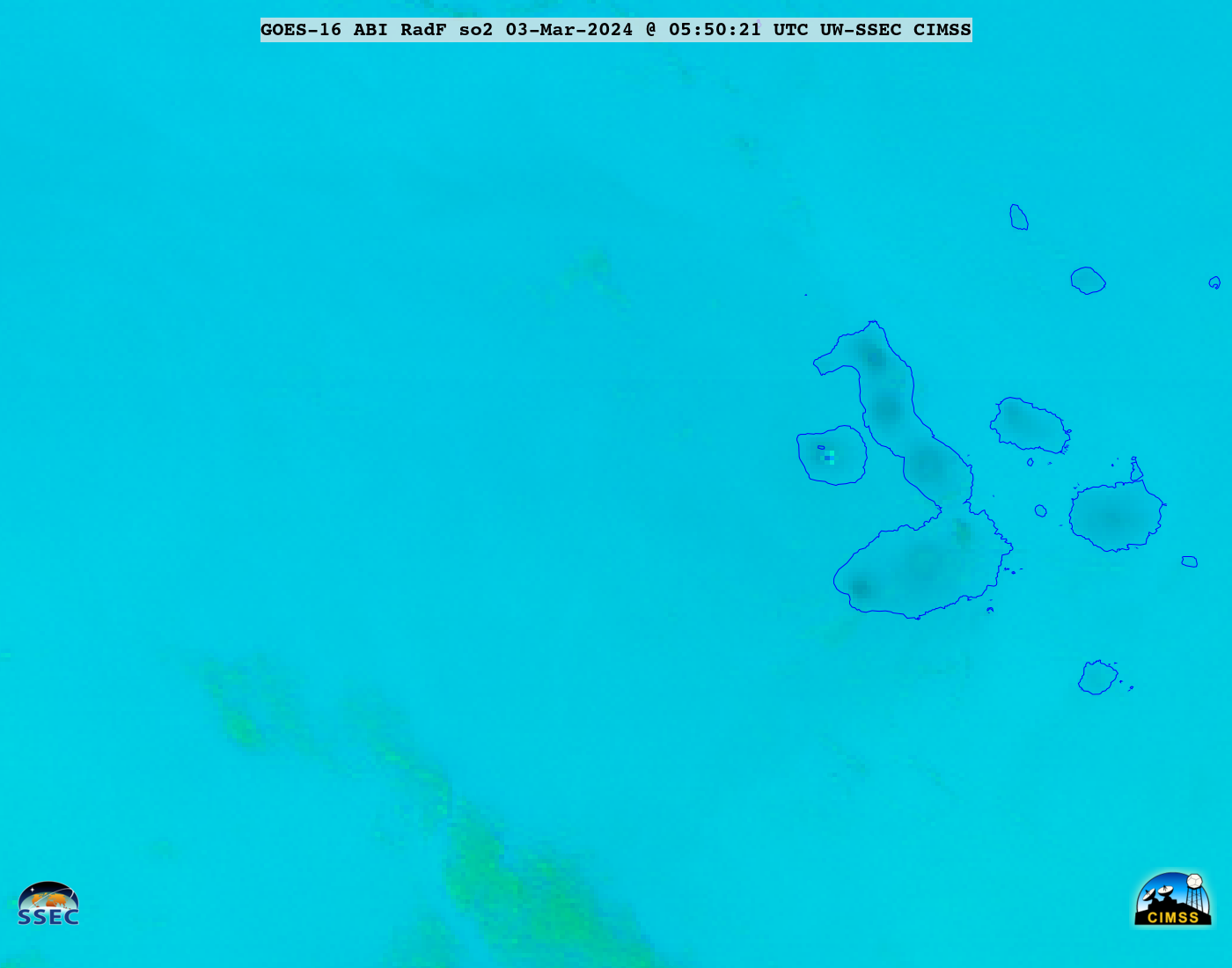
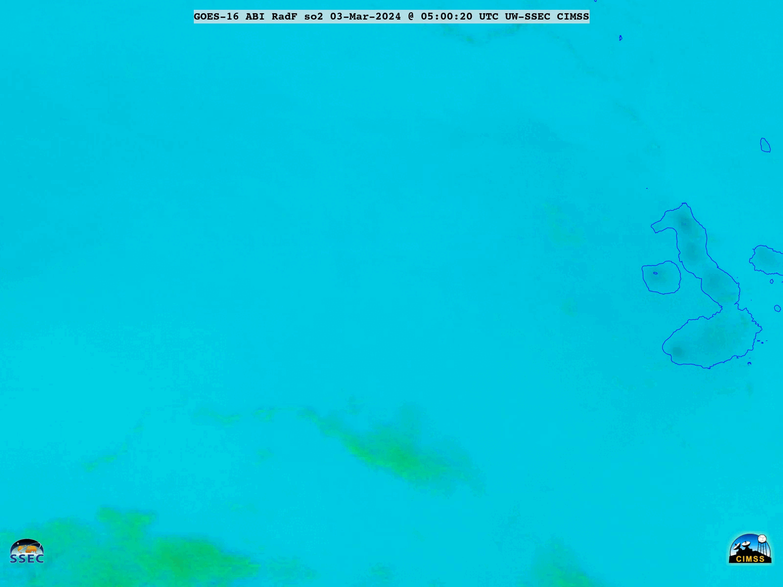
GOES-16 SO2 RGB images, from 0500-2100 UTC on 03 March [click to play animated GIF | MP4
GOES-16 (GOES-East) SO2 RGB images created using Geo2Grid (above) showed the volcanic cloud (lighter shades of cyan) resulting from an eruption of La Cumbre (Fernandina) in the Galápagos Islands on 03 March 2024. The thermal anomaly at the volcano summit — which first became apparent at 0550 UTC — appeared as clusters of darker blue pixels.
A comparison of False Color RGB images and retrieved Ash products from the NOAA/CIMSS Volcanic Cloud Monitoring site (below) indicated that this particular volcanic cloud was entirely SO2-dominated, with no signature of appreciable ash content.
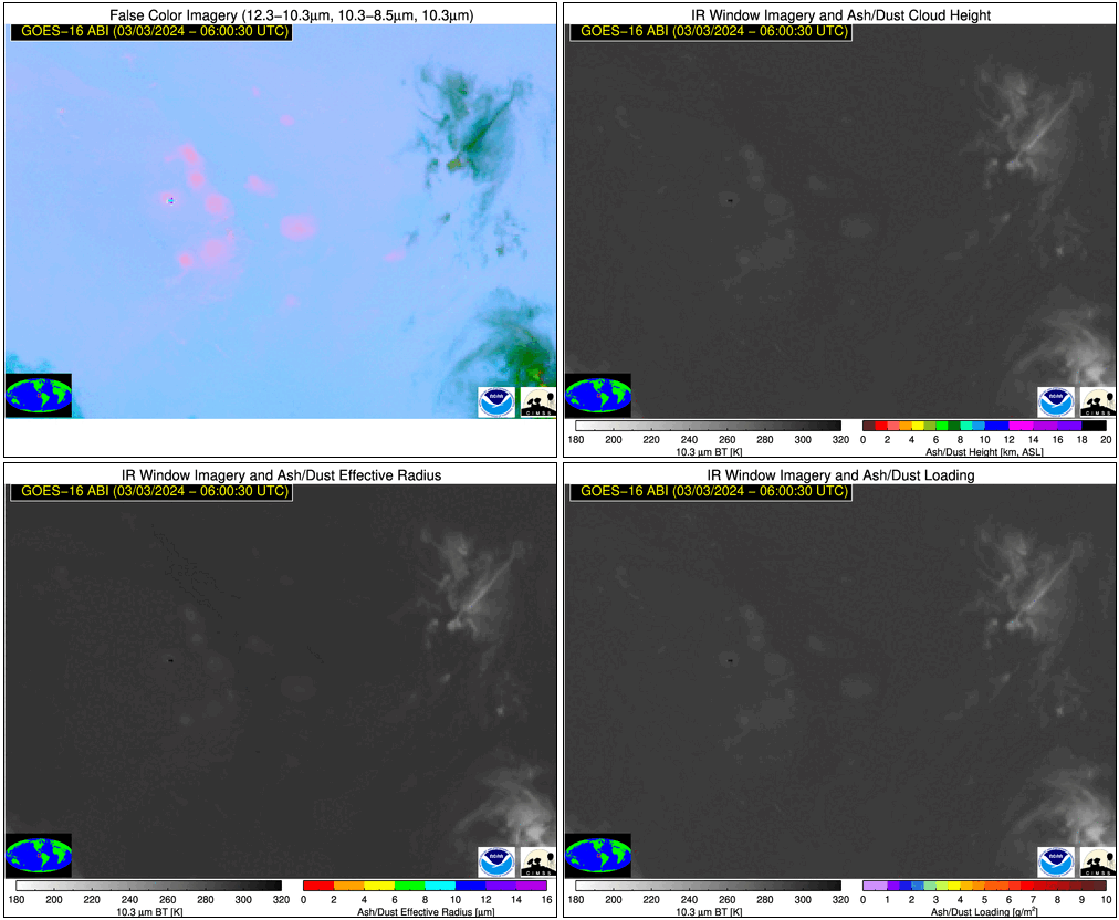
GOES-16 False Color RGB (top left), Ash Height (top right), Ash Effective Radius (bottom left) and Ash Loading (bottom right) [click to play animated GIF | MP4]
GOES-16 True Color RGB images from the CSPP GeoSphere site (below) showed the hazy signature of the volcanic cloud during the daytime hours (although bright sun glint off the ocean temporarily masked its appearance).
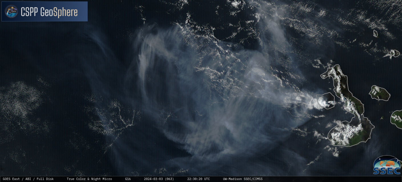
GOES-16 True Color RGB images, from 1240-2250 UTC on 03 March [click to play MP4 animation]
===== 04 March Update =====
GOES-16 SO2 RGB images, from 0500 UTC on 03 March to 2350 UTC on 04 March [click to play animated GIF| MP4]
A longer animation of GOES-16 SO2 RGB images (above) showed that while the emission of a volcanic cloud continued into the following day, its areal coverage and SO2 concentration (inferred from the cloud’s color intensity in the RGB imagery) had diminished by the end of the day on 04 March. There was, however, notable dispersion of the SO2 cloud during the initial 24-hour period following the eruption.