Satellite signatures of a SpaceX Falcon 9 rocket launch from California
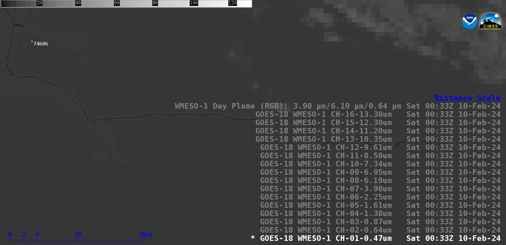
1-minute GOES-18 images of ABI spectral bands 01-16 and a Rocket Plume RGB, from 0033-0048 UTC on 10 February [click to play animated GIF | MP4]
In a toggle between Upper-level Water Vapor (6.2 µm) images from GOES-16 (GOES-East) and GOES-18 (GOES-West) at 0036 UTC, both remapped to a common projection (below) note the large offset in apparent location of the Falcon 9 vapor trail — this is due parallax, which was significant due to (1) the altitude of the rocket’s vapor plume at that time, which was around 45 km and (2) the difference between satellite viewing angle magnitude (62.34 degrees for GOES-16 vs. 43.82 degrees for GOES-18) and direction.
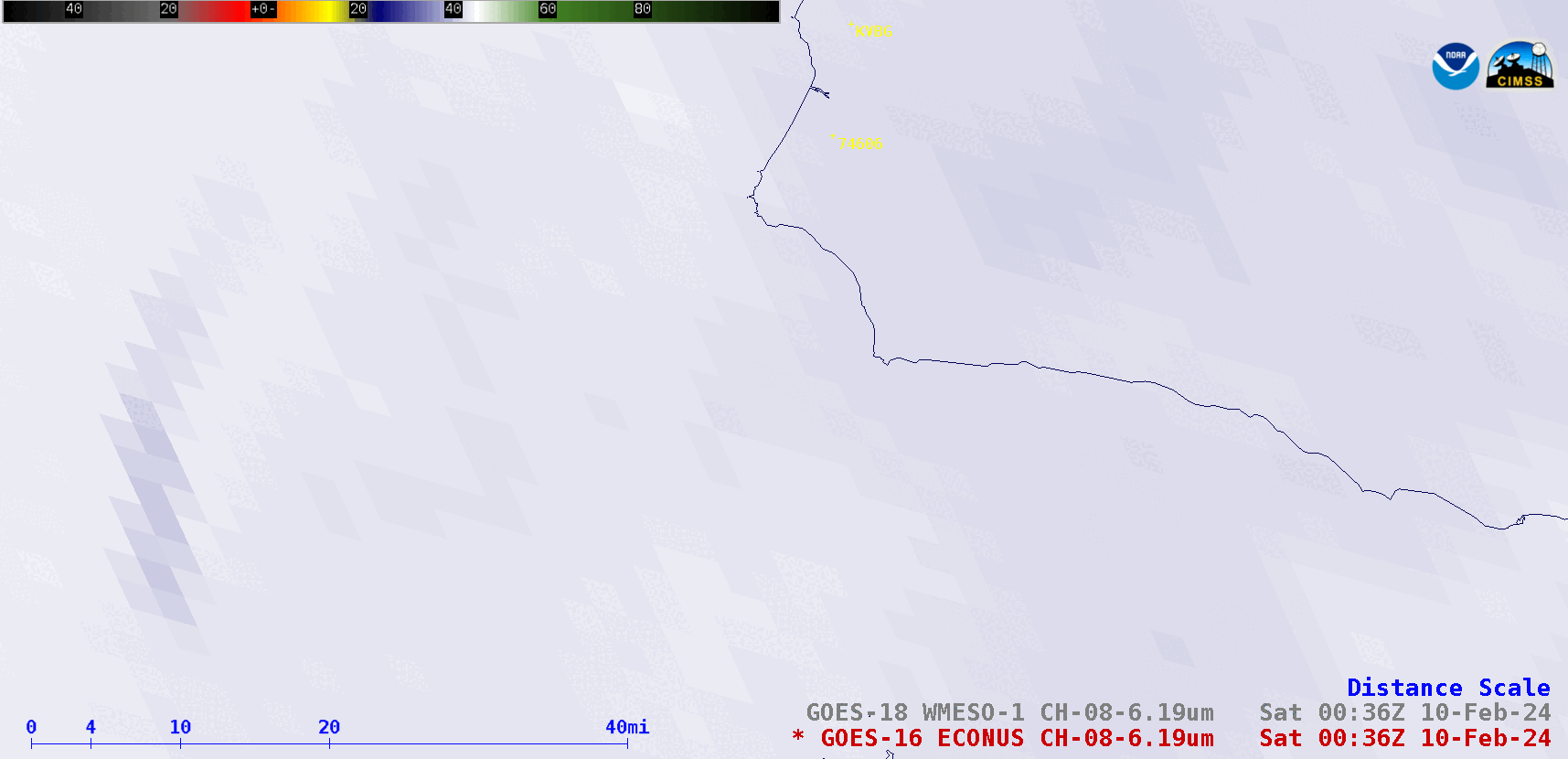
Upper-level Water Vapor (6.2 µm) images from GOES-16 and GOES-18, at 0036 UTC on 10 February [click to enlarge]