By Scott Bachmeier •
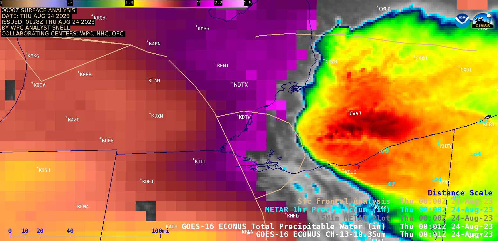
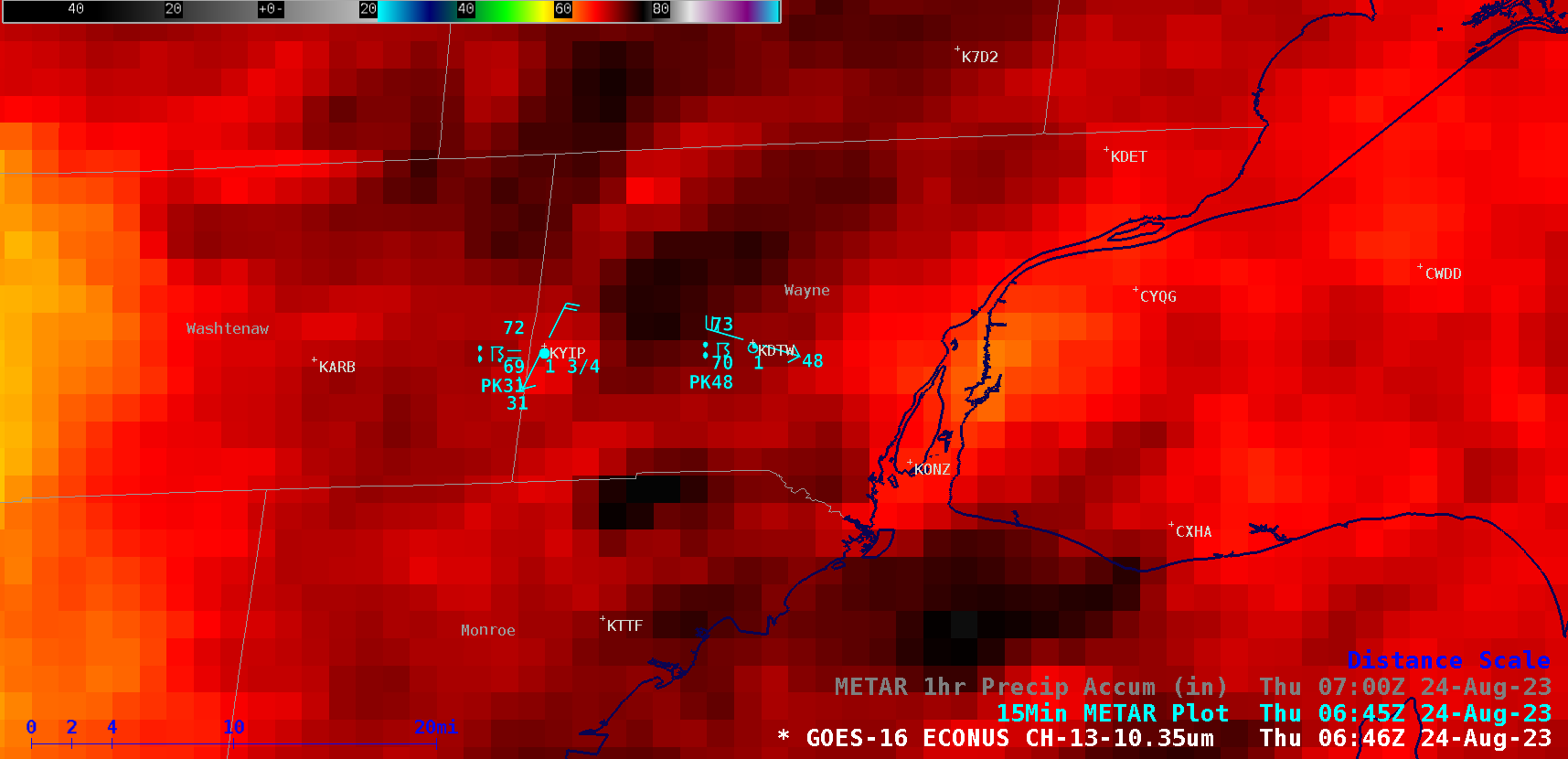
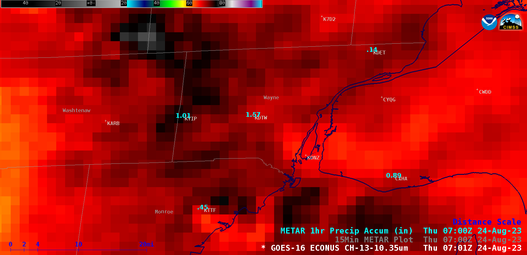
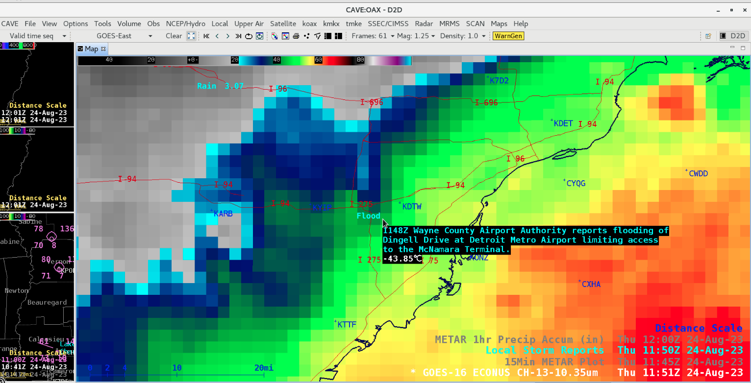
5-minute GOES-16 (GOES-East) “Clean” Infrared Window (10.3 µm) images with an overlay of the Total Precipitable Water (TPW) derived product (above) showed a pocket of high moisture — with TPW values in the 2.0-2.3 inch range — just northeast of a quasi-stationary front that was draped across lower Michigan during the nighttime hours preceding sunrise on 24 August 2023. As a Mesoscale Convective System was expanding south-southwestward from Ontario into Ohio, it produced an outflow boundary that moved to the northwest across lower Michigan — and that outflow boundary appeared to play a role in enhancing the development of new thunderstorms that then moved southeast across the Detroit (METAR identifier KDTW) area. A closer look at GOES-16 Infrared images as the thunderstorms moved across the Detroit area is shown above with plots of 15-minute surface reports, and below with plots of 1-hour Precipitation Accumulation. Detroit Metro Wayne County Airport (KDTW) and Detroit Willow Run Airport (KYIP) as well as Monroe (KTTF) had rainfall rates in excess of 1.5-2.0 inches per hour at times. Total rainfall accumulations from these storms were as high as 7.36 inches in Wayne County and 6.80 inches in Monroe County. The heavy rainfall led to flooding of roadways and tunnels leading to KDTW (below) — which resulted in a brief ground stop of air traffic (media story) until the flooding subsided and roads could re-open allowing access to the airport.Categories: Aviation, GOES-16, Heavy rain / flooding