By Scott Bachmeier •
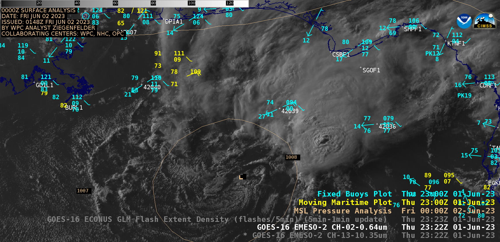
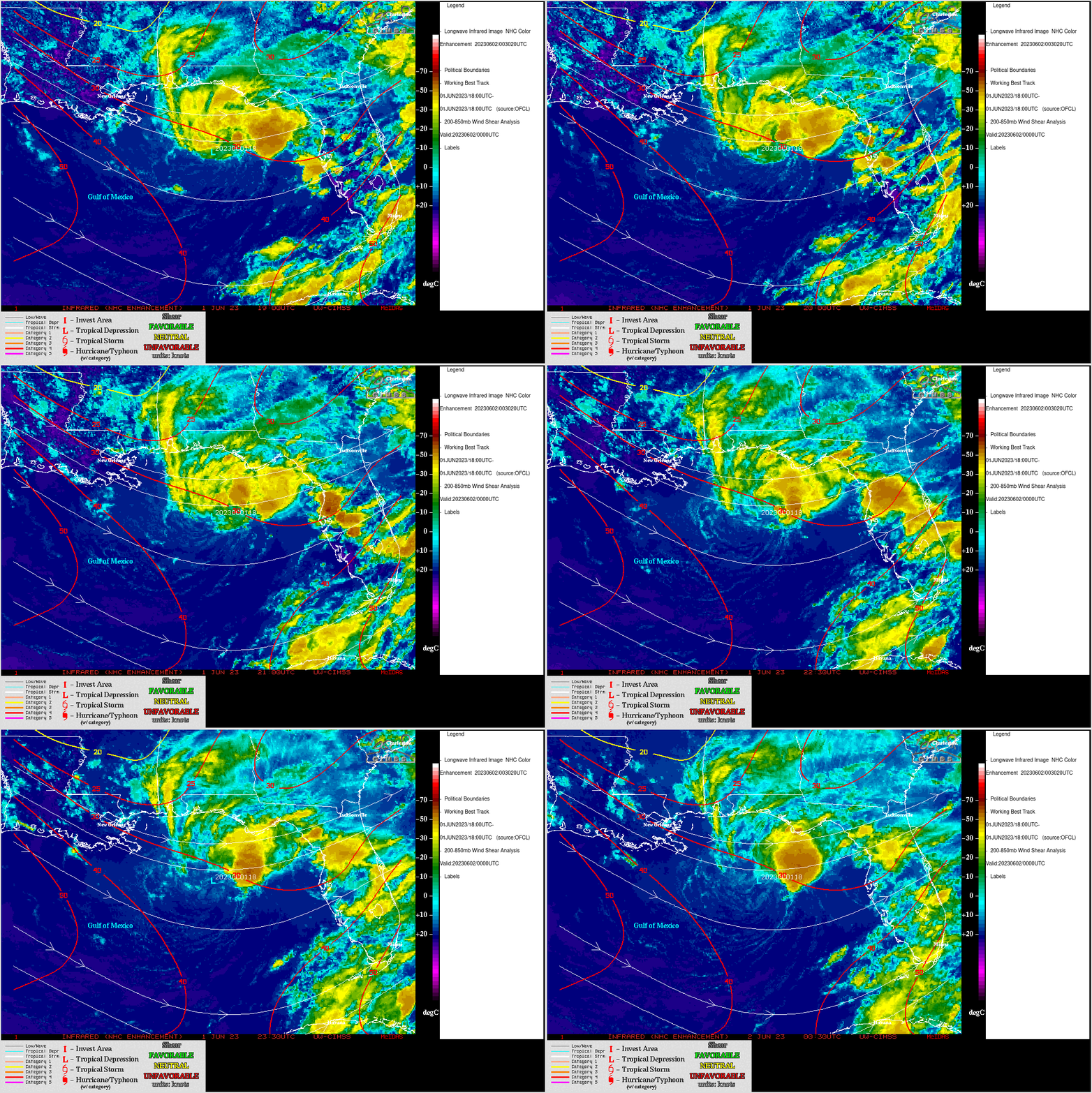
1-minute Mesoscale Domain Sector GOES-16 (GOES-East) “Red” Visible (0.64 µm) and “Clean” Infrared Window (10.3 µm) images (above) showed Tropical Depression Two as it developed over the northern Gulf of Mexico on 01 June 2023. The low-level circulation center became exposed late in the day, as deep convection remained focused to the northeast of the disturbance center — cloud-top infrared brightness temperatures of the thunderstorm overshooting top pulses were as cold as -65ºC at 2322 UTC (below). Although TD Two was forecast to move southward across warmer water associated with the Gulf of Mexico Loop Current (Sea Surface Temperature | Ocean Heat Content), modest amounts of deep-layer wind shear from the CIMSS Tropical Cyclones site (below) did not favor a large amount of intensification.Categories: GOES-16, Tropical cyclones