Tropical Cyclone Gabrielle in the Coral Sea

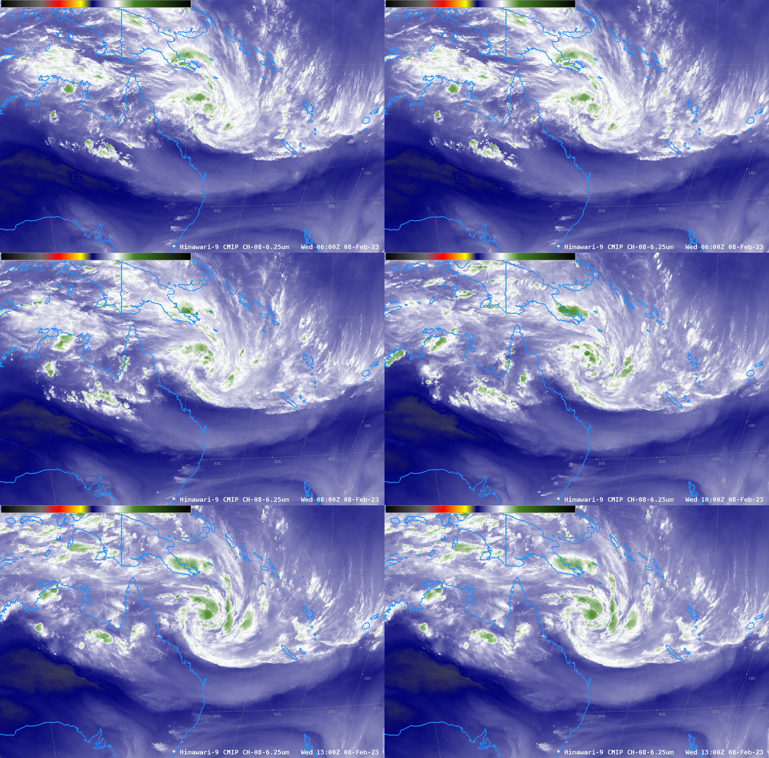
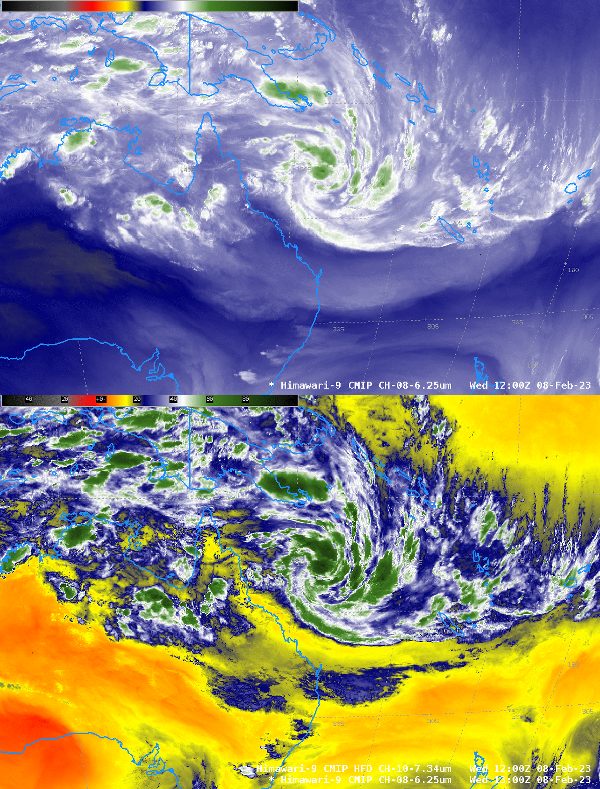
Himawari-9 Upper Level Water Vapor infrared (6.25 µm) imagery for the 8 hours ending 1300 UTC on 8 February 2023 show the nighttime blossoming of convection near the center of developing tropical cyclone Gabrielle to the east of Australia in the tropical southwest Pacific. The environment of the storm is favorable to strengthening: the Band 8 imagery above shows little dry air near the storm center, and a toggle with the Band 10 (7.34 µm) infrared imagery at 1200 UTC similarly shows little dry air.

MIMIC Total Precipitable Water fields (from this site) also show an atmosphere rich in moisture where Gabrielle is developing.

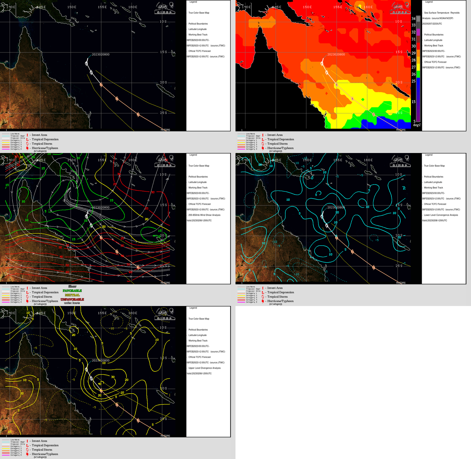
Analyses from the CIMSS Tropical Website, show an environment that supports development. SSTs in the region are warm, shear values are low, low-level convergence and upper level divergence are all strong, as shown in the toggle below. Indeed, many numerical models predict Gabrielle to strengthen as it moves southeastward through the Coral Sea between Australia to the west and New Caledonia to the east.

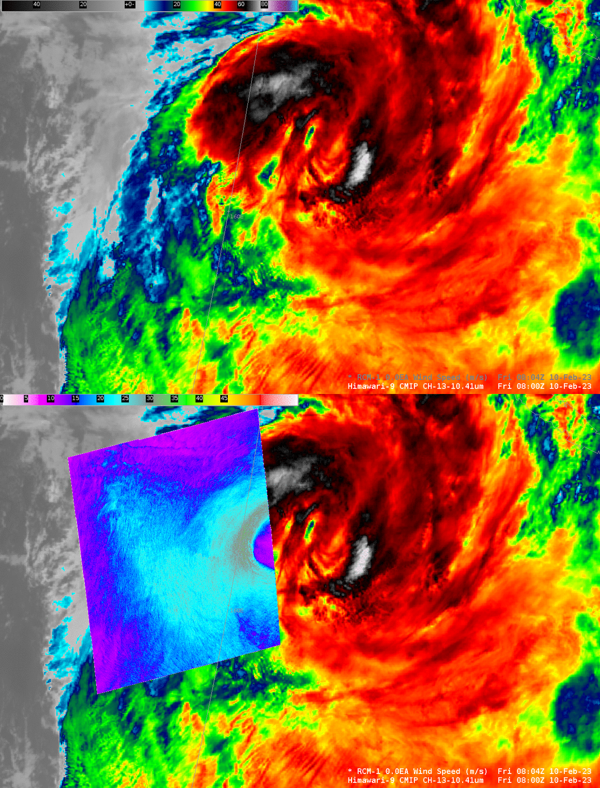
Added: 10 February. RCM-1 overflew the western half of Gabrielle at 0800 UTC on 10 February, and the SAR Wind analysis (the colorbar ranges from 0-60 m/s), below, shows maximum wind speeds a bit stronger than 30 m/s.


