Wind shear in the Nighttime Microphysics RGB
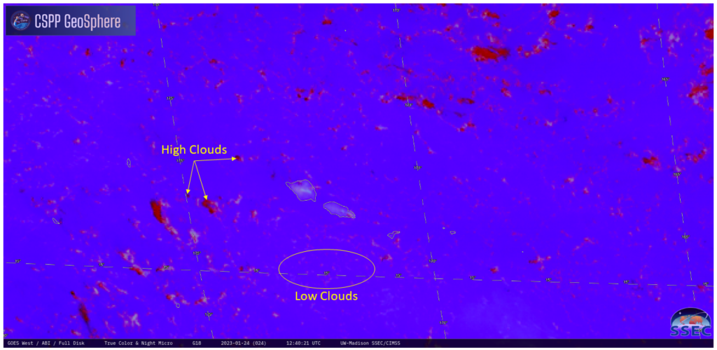
A strength of the Night Microphysics RGB in the tropics is that it’s pretty easy to use it in regions of mostly clear skies to diagnose wind shear, because high clouds will show up as dark red, and low cloud show up as pale pink or cyan (see this annotated image). In the animation above (from the CSPP Geosphere site), low clouds around and to the west of the Samoan Islands are moving towards the west-northwest. High clouds are moving in the same direction: Wind shear values are low. In contrast, in the northeastern part of the domain above, low clouds are (also) moving towards the west-northwest — but high clouds are moving off to the east: Wind shear values are high.
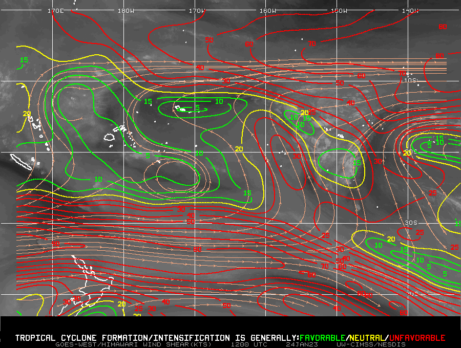
A wind shear analysis from 1200 UTC, below, taken from the SSEC/CIMSS Tropical Weather website (direct link to shear plot) confirms what the Night Microphysics RGB suggests.


