Kona Storm affects Hawai`i
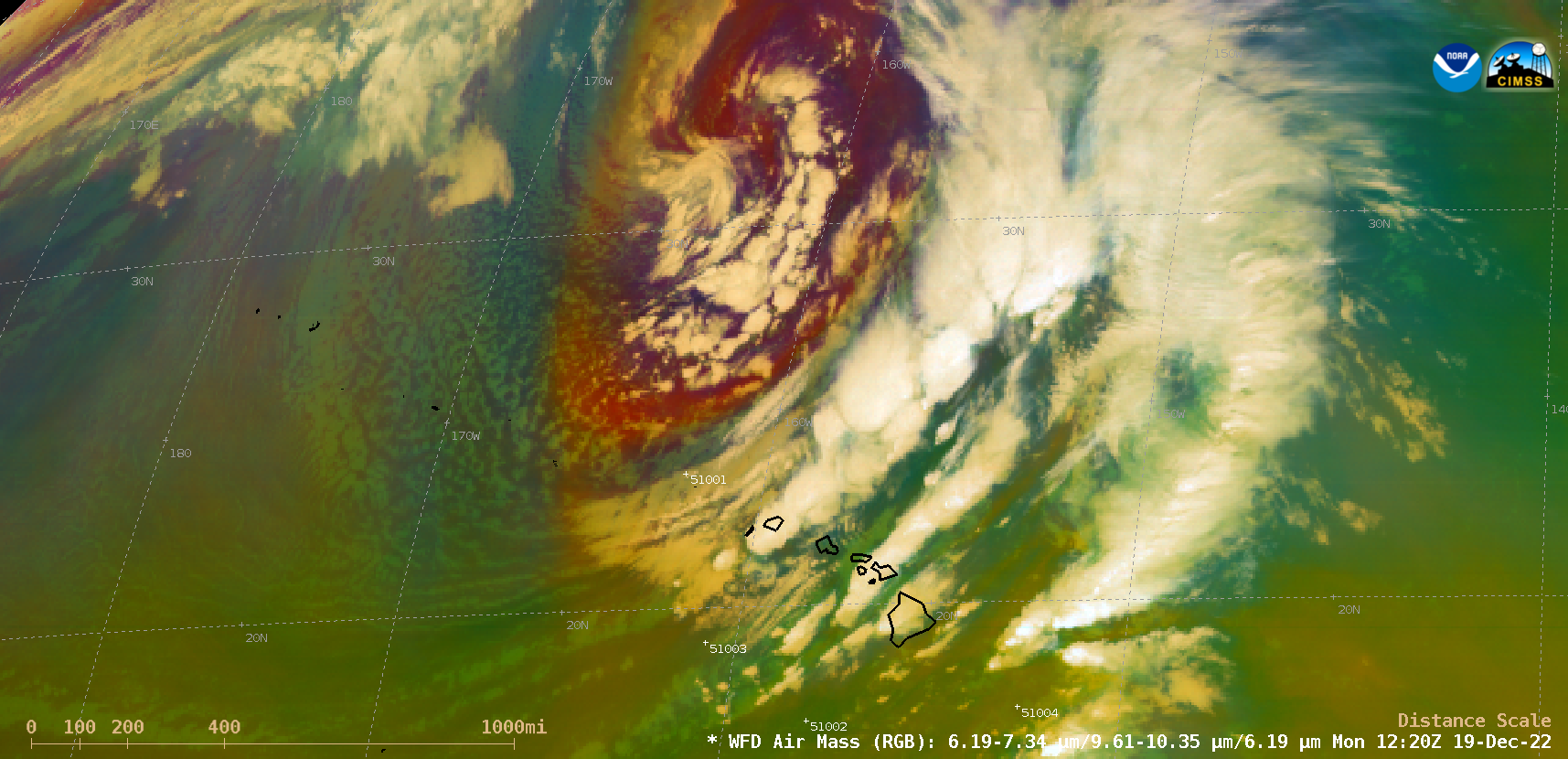
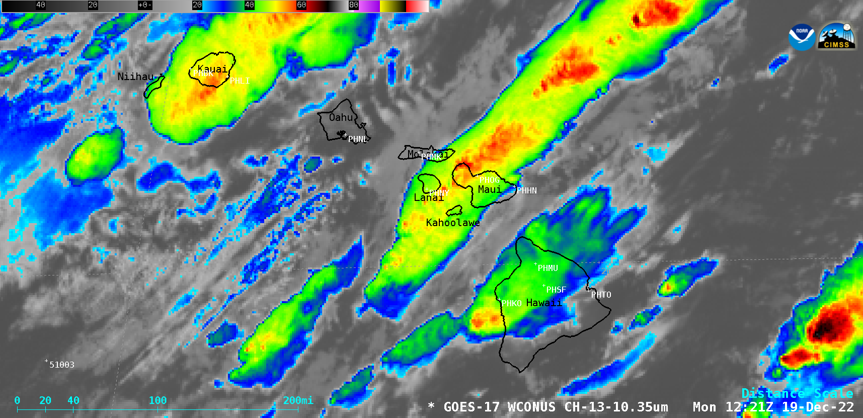
An anomalousy deep extratropical storm or “Kona Storm” north of Hawai`i (surface analyses) brought strong winds and heavy rainfall to much of the island chain during the 18-20 December 2022 period. GOES-17 (GOES-West) Air Mass RGB images (above) showed the core of the storm (darker shades of orange-red) as well as widespread thunderstorms along and ahead of the storm’s strong cold front.GOES-17 Total Precipitable Water and “Clean” Infrared Window (10.3 µm) images (below) depicted the tropical moisture that was drawn northward across the islands, providing fuel for development of the thunderstorms.
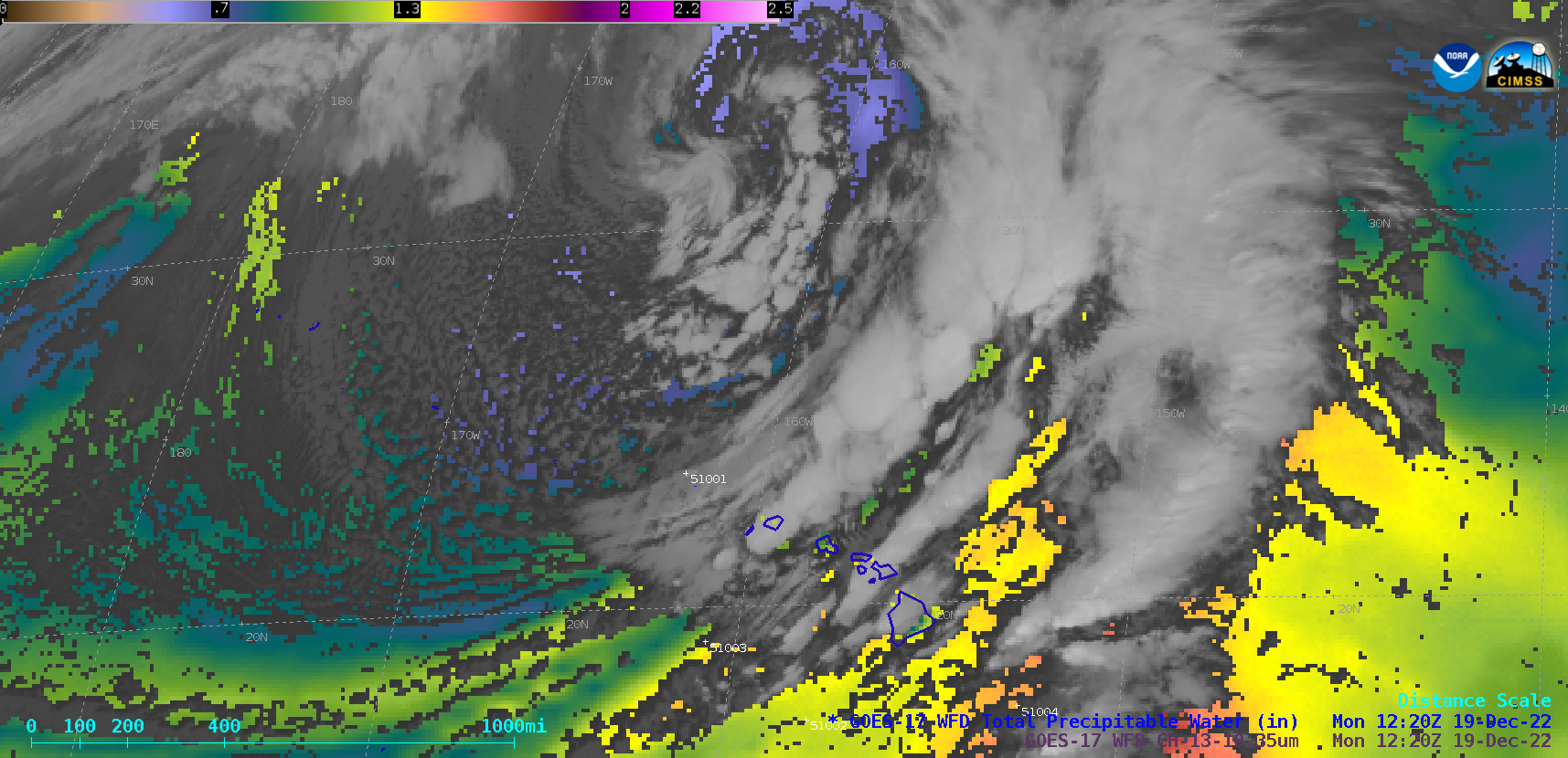
GOES-17 Total Precipitable Water and “Clean” Infrared Window (10.3 µm) images [click to play MP4 animation]


