IntenseStormNet with severe weather in the deep south

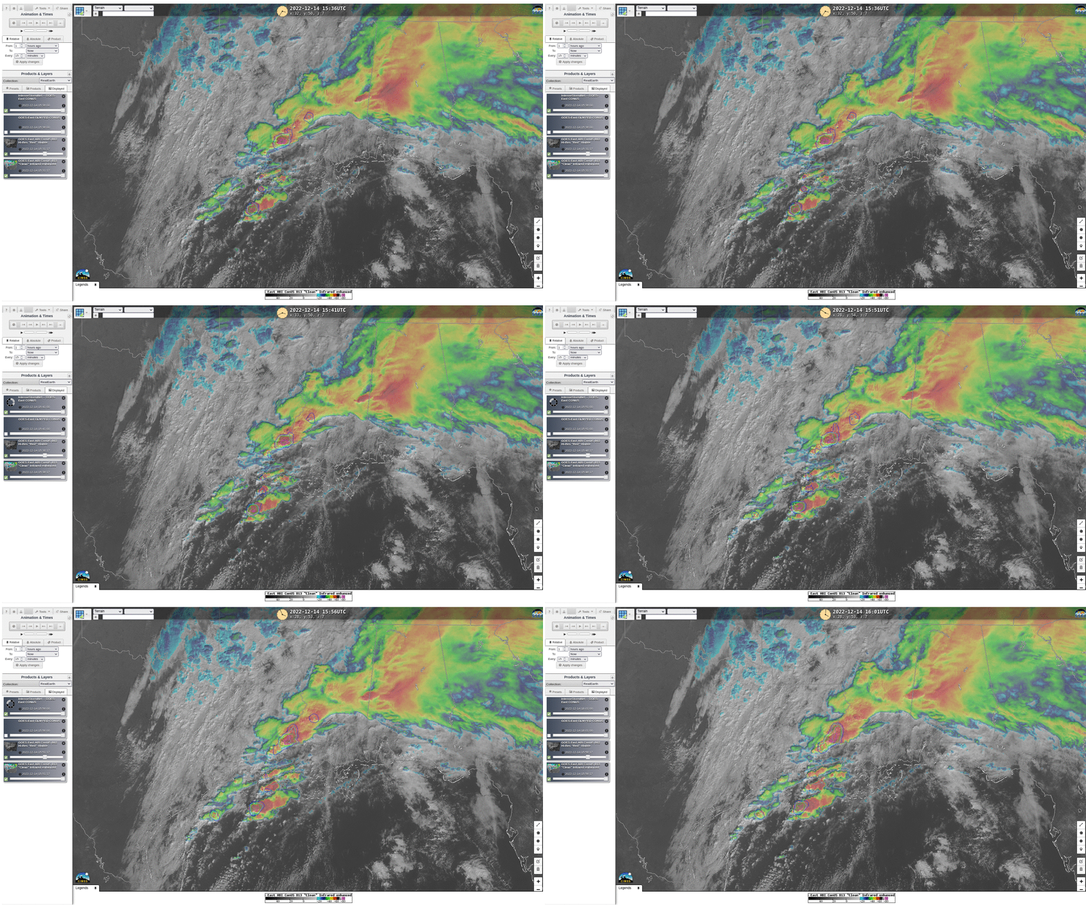
IntenseStormNet is a part of the ProbSevere portfolio; it relates ABI Channels 2 (0.64 µm) and 13 (10.3 µm) and GLM observations of Flash Extent Density (see this past blog post for more information) to the likelihood that a given satellite-detected storm is severe. (The probabilities are created from output of a Convolutional Neural Network) The product is available in a RealEarth instance at this link. The animation above shows several cells identified as most likely to support severe weather (here is the 1630 UTC Convective Outlook from SPC; much of southeastern Louisiana, southern Mississippi, southern Alabama and the western Florida Panhandle is under an enhanced risk of Severe weather; extreme eastern Louisiana and parts of the central Gulf Coast — including New Orleans and Mobile — is under a Moderate risk). The most likely candidate is entering southwest Mississippi at 1601 UTC.
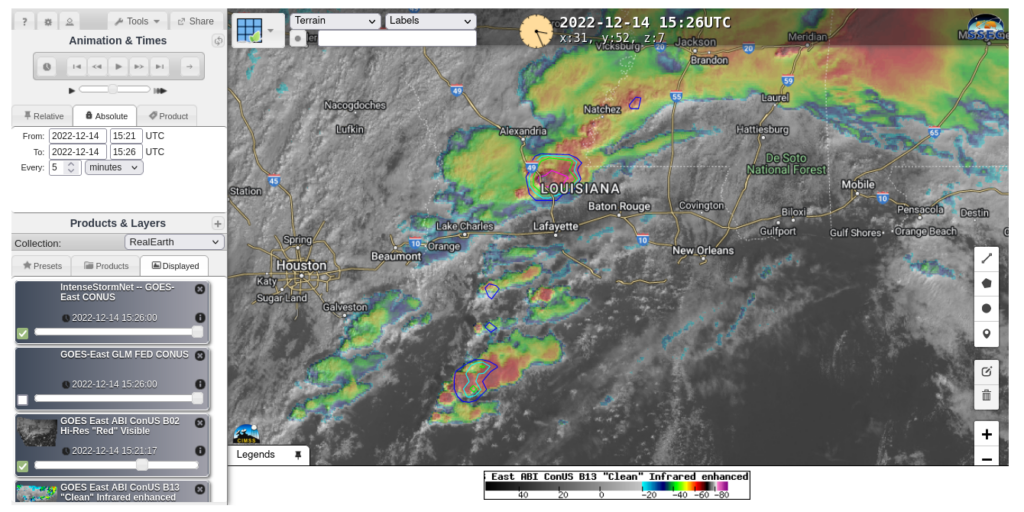
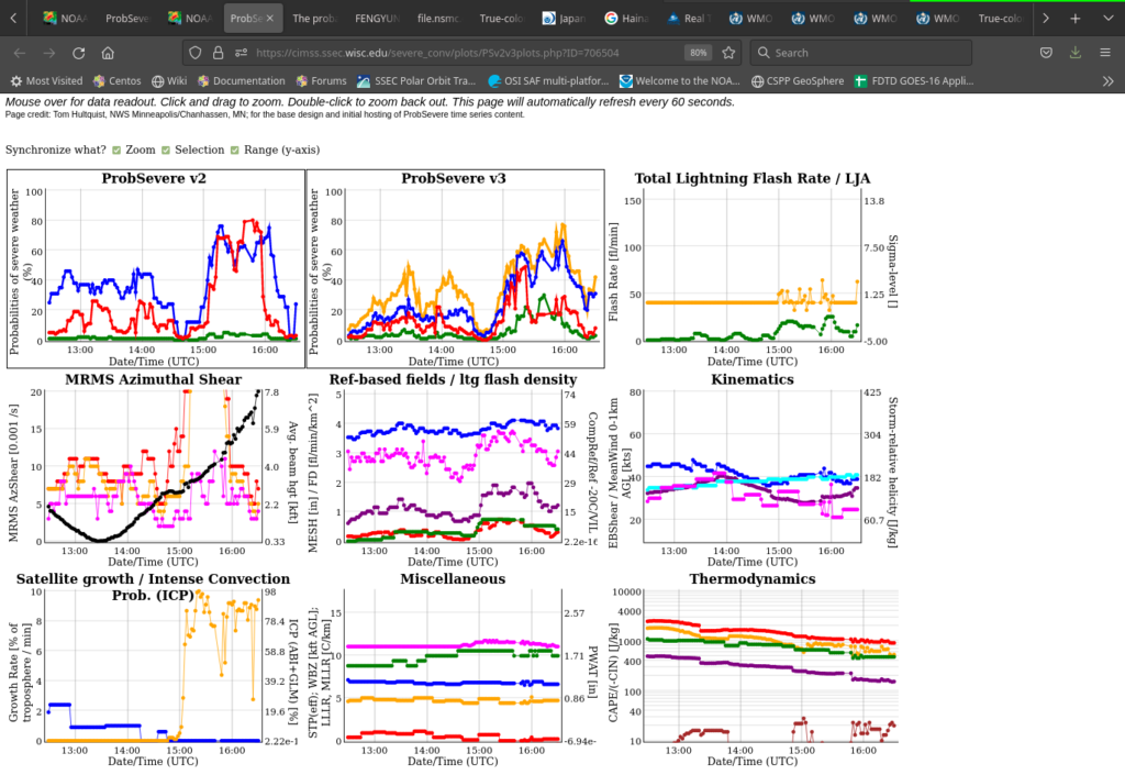
A tornado was actually reported just before the animation started, from that suspect cell, in Ville Platte LA, north-northwest of Lafayette, at 1523 UTC. What did IntenseStormNet look for that storm at that time? That’s shown below. The tornadic storm does indeed have a very high probability! Here’s the ProbSevere (version 3) image for the same time. Read-outs for the ProbSevere output are available for that particular Object Number (#706504), available at this (temporary) link and shown at the bottom. Note the strong increase in ICP before the tornadic event.


A Journal Article on this product is available here.

