Tropical Invest 94L north of Bermuda
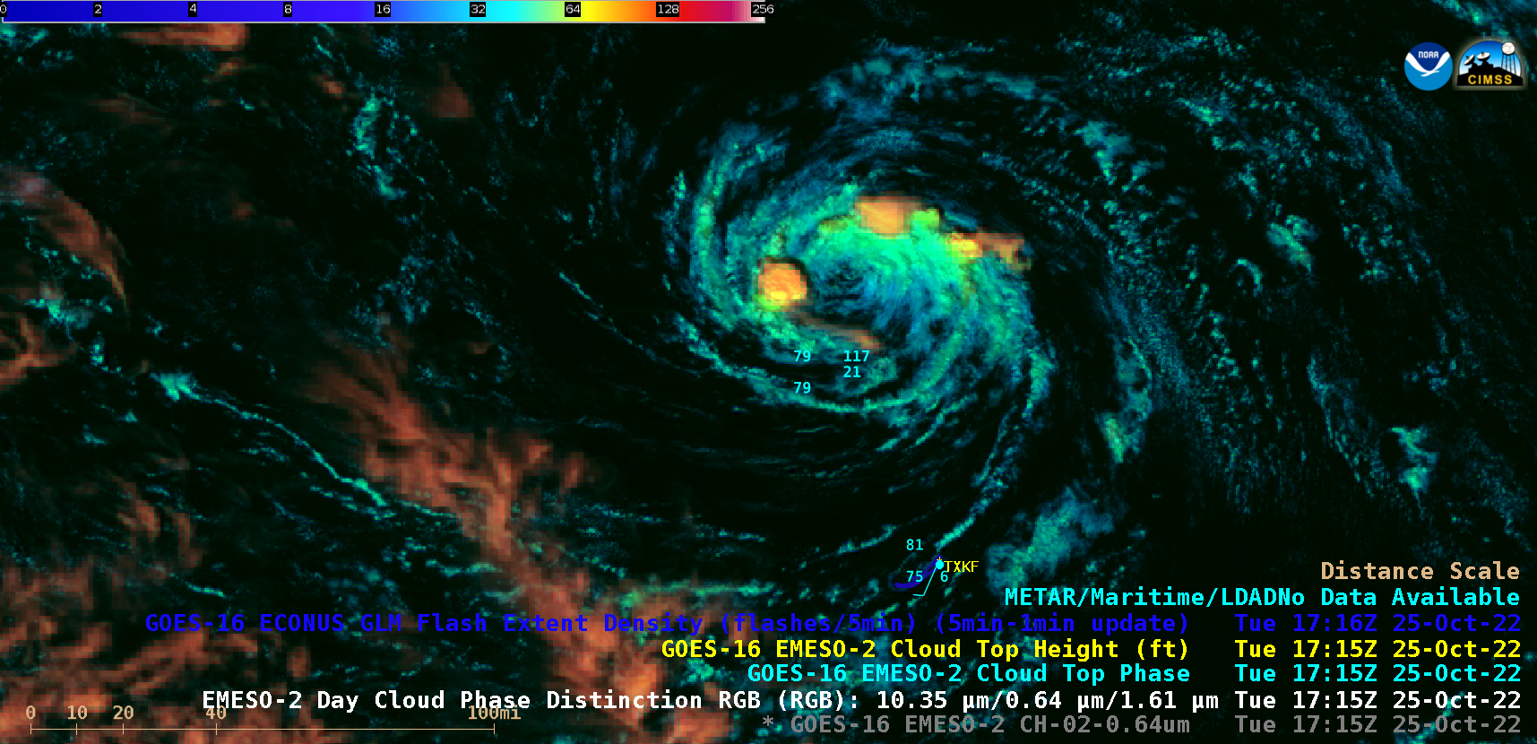
1-minute Mesoscale Domain Sector GOES-16 (GOES-East) “Red” Visible (0.64 µm) and Day Cloud Phase Distinction RGB images (above) showed the compact exposed low-level circulation of Tropical Invest 94L as it moved northward away from Bermuda (station identifier TXKF) on 25 October 2022. In spite of Invest 94L moving through an environment of increasing deep-layer wind shear, bursts of deep convection did develop near the center of the disturbance around 17 UTC (with the convection just to the northeast eventually producing GLM-detected lightning activity for about an hour). The system was also moving across relatively cool water, with Sea Surface Temperature values of around 25ºC just north of Bermuda.At the time that the lightning activity first began, the GOES-16 Day Cloud Phase Distinction RGB image at 1751 UTC which includes cursor output values of Cloud Top Height, Cloud Top Phase and RGB components is shown below. The coldest cloud-top infrared brightness temperature of -73ºC occurred about 24 minutes later, as the convective burst was producing an overshooting top at 1815 UTC.