SAR Winds over the tropical Pacific Ocean
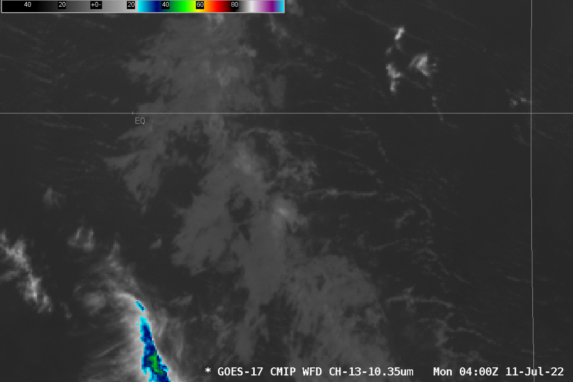
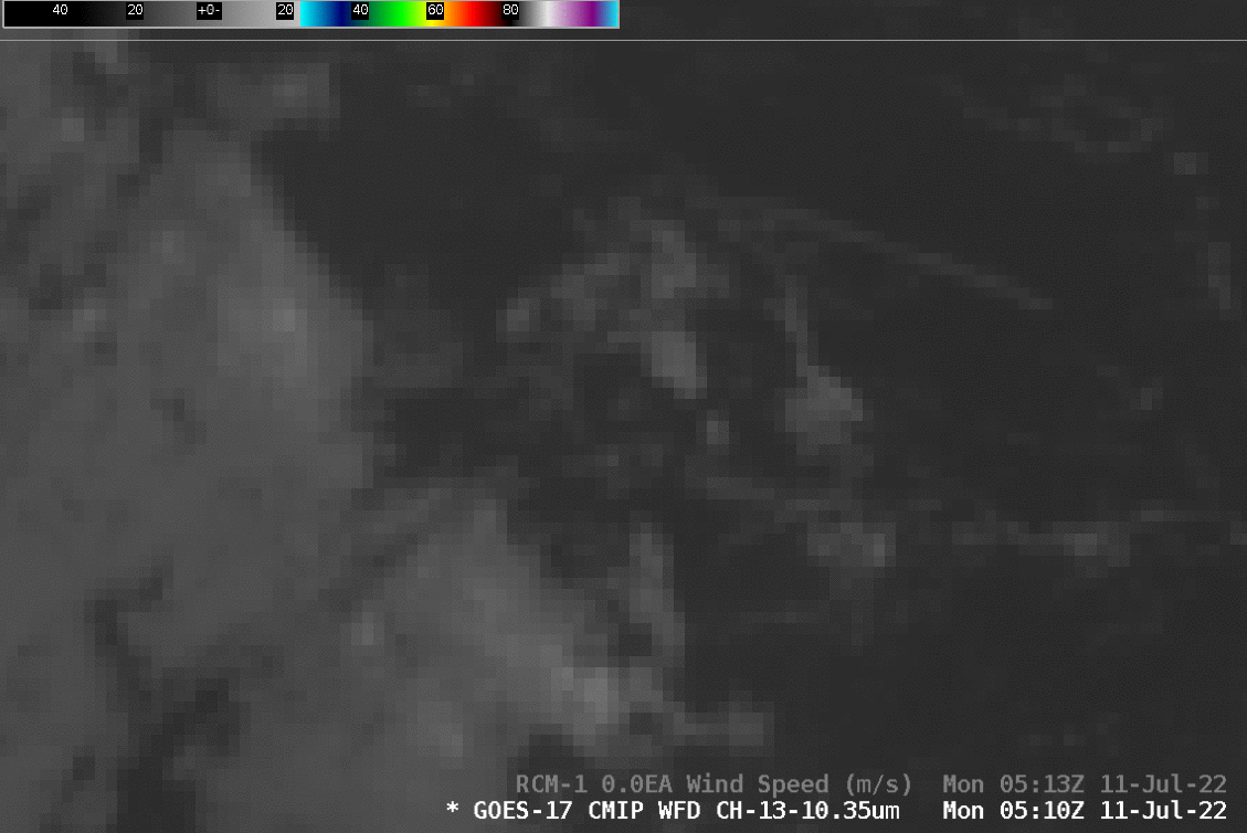
This NOAA/NESDIS website shows small footprints where SAR observations of ice and wind (from the RADARSAT Constellation Mission — RCM — satellites and from Sentinel) are available. AWIPS-ready data are also available from an ftp site. Consider the animation of GOES-17 Band 13 imagery above, just south to the Equator, and to the west of 160oW longitude. The slightly cooler brightness temperatures at the eastern edge of the arc of clouds moving to the west is associated with two patches of strong surface winds. The toggle below zooms in on the region of winds. Surface wind speeds are close to 15 m s-1 with this weak line of tropical convection.