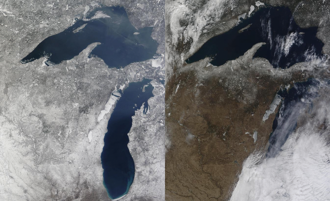
Change of Season in Upper Midwest
MODIS imagery from the Terra satellite clearly show the change in snowcover over the upper Midwest in the past week. The first image, from 6 March, shows widespread snowcover. The second image, from 15 March, shows widespread bare ground. The period from 9 March through 13 March was one of widespread low clouds, fog, and light rain that removed the cumulative effects of 3 months’ worth of snowstorms. Snowcover in Madison, for example, began on December 7th and remained for 93 days, until March 10th. That 93-day stretch was the 6th-longest such stretch of consecutive days with snowcover, tying with a streak in the winter of 1970-1971. The winter of 1978-1979 in Madison had the longest streak of consecutive days with snowcover: 118. (Link).
The imagery above were obtained from the WisconsinView website.


