30-second GOES-17 images over Utah and Colorado

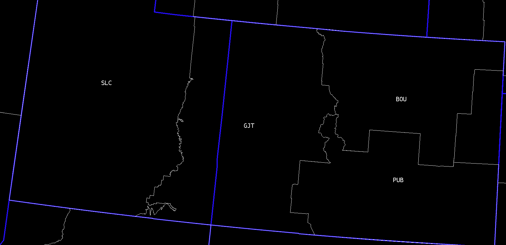
GOES-17 “Red” Visible (0.64 µm) images, with plots of hourly surface reports [click to play animated GIF | MP4]
GOES-17 “Red” Visible (0.64 µm) images, with plots of hourly surface reports [click to play animated GIF | MP4]