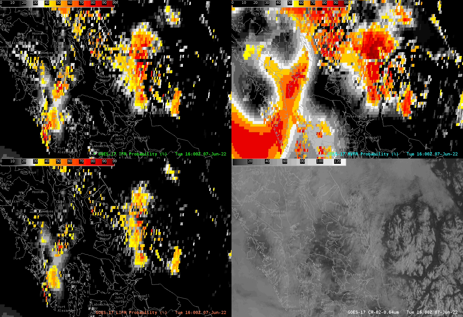
GOES-17 IFR, Low IFR, and MVFR Probability fields over South Alaska
IFR (Instrument Flight Rules) Probability estimates the likelihood that IFR conditions are occurring by fusing GOES-17 satellite data with model output. The satellite-derived products give output of low IFR, (LIFR), IFR, and Marginal Visual Flight Rules (MVFR). In aviation, the difference between these classifications is generally:
Low Instrument Flight Rules (LIFR): Ceilings are less than 500 feet above ground level and/or visibility is less than 1 mile.
Instrument Flight Rules (IFR): Ceilings are 500 to 1,000 feet and/or visibility 1 to 3 miles.
Marginal VFR (MVFR): Ceilings are 1,000 to 3,000 feet and/or visibility is 3 to 5 miles.