Residual winter ice in Lake Superior and Chequamegon Bay
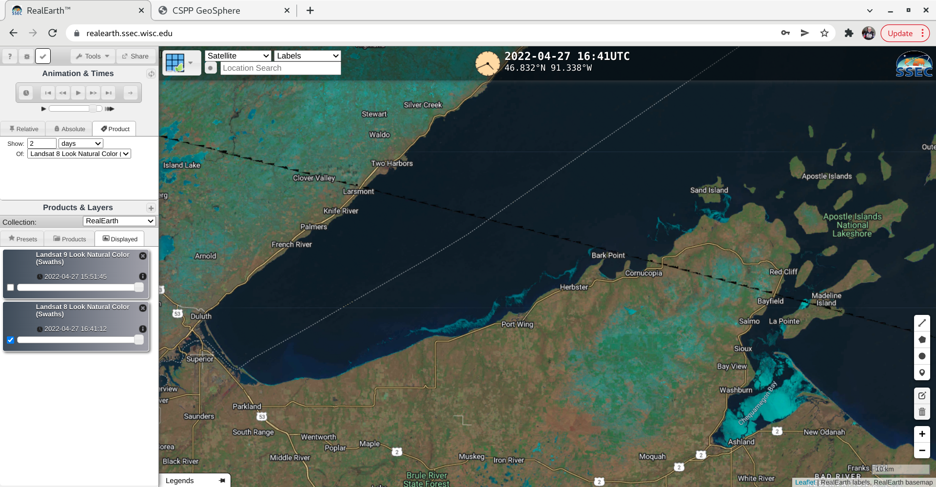
Landsat-8 False Color image [click to enlarge]
During the preceding overnight hours, a NOAA-20 VIIRS Advanced Clear-Sky Processing for Ocean (ACSPO) Sea Surface Temperature image around 0831 UTC (below) indicated that SST values were generally around 34oF (darker blue enhancement) in the portion of the lake north of the ice filaments. Farther to the east, the West Superior Buoy 45006 was reporting a SST value of 33oF at that time.

NOAA-20 VIIRS ACSPO Sea Surface Temperature image [click to enlarge]
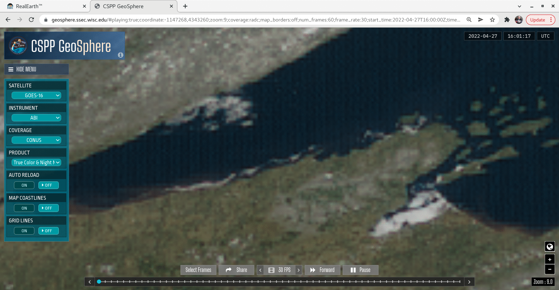
GOES-16 True Color RGB images [click to play animated GIF | MP4]
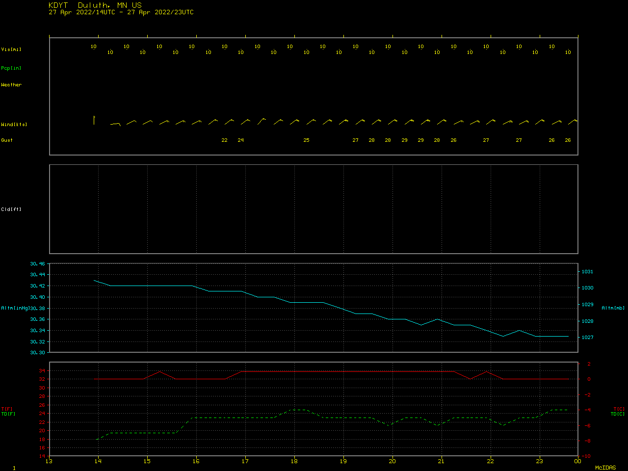
Plot of surface report data from Duluth Sky Harbor Airport [click to enlarge]