Shear vortex approaching the coast of California

GOES-17 Mid-level Water Vapor (6.9 µm) and Air Mass RGB images (with and without contours of RAP40 model PV1.5 pressure) [click to play animated GIF | MP4]
A Mid Level Wind Shear product from the CIMSS Tropical Cyclones site (below) showed that this satellite feature had developed along a tight gradient of wind shear off the California coast. Occasionally such shear gradient vortices can produce turbulence that affects aircraft, as was seen in this example.
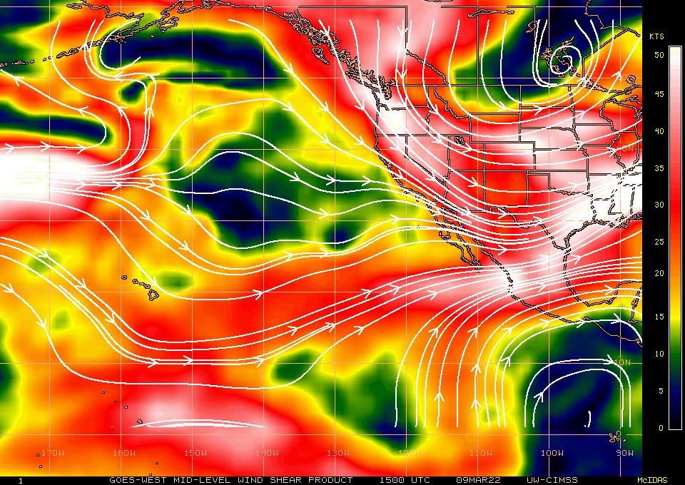
Mid-level Wind Shear product [click to enlarge]