By Scott Bachmeier •
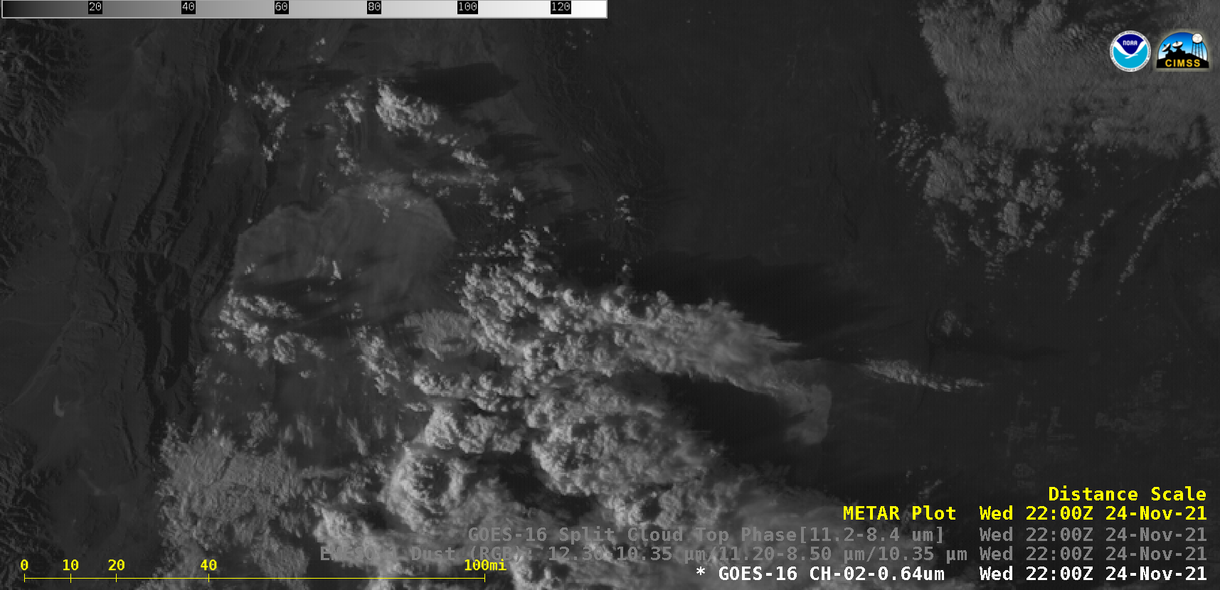
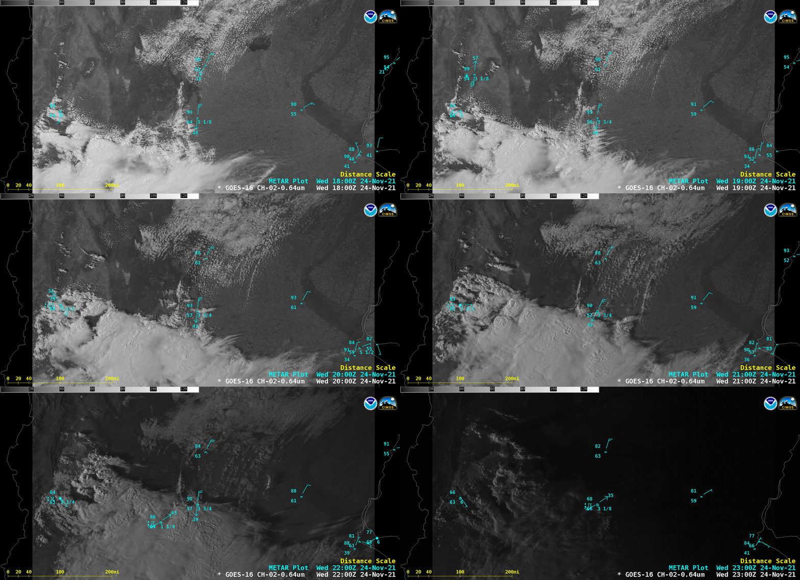
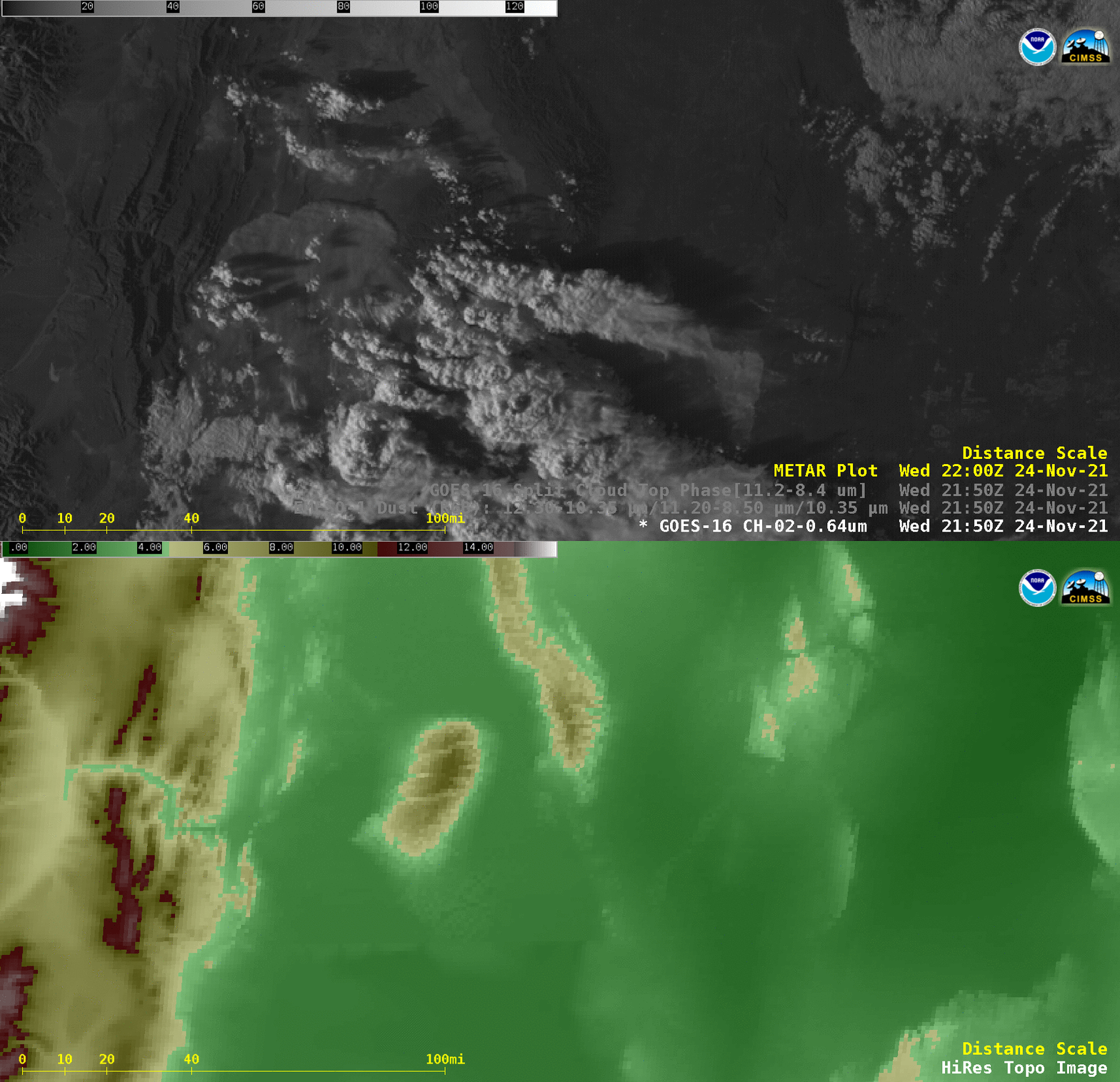
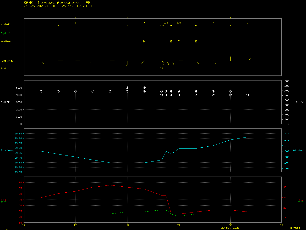
30-second Mesoscale Domain Sector GOES-16 (GOES-East) “Red” Visible (0.64 µm), Dust RGB and Split Cloud Top Phase (11.2 µm – 8.4 µm) brightness temperature difference (BTD) images (above) revealed a plume of blowing dust propagating northward across the San Juan Province of western Argentina late in the day on 24 November 2021. The dust was being channeled through a gap in higher terrain along the foothills of the Andes (below). A larger-scale view of hourly GOES-16 Visible images with plots of surface reports (below) suggested that this dust occurred in the vicinity of a strong cold front that was moving northward across Argentina. Mendoza — located south-southwest of where the dust plume first became apparent in GOES-16 imagery — reported a thunderstorm with dust at 2000 UTC (along with a southeasterly wind gust to 32 knots), followed by a reduction of surface visibility to 0.5 miles at 2215 UTC as the air temperature sharply dropped with the cold frontal passage (below). About 260 miles (420 km) east of Mendoza at Rio Cuarto, a similar sharp temperature drop was seen as the cold front passed.Categories: Air quality, GOES-16, Red-Green-Blue (RGB) images