Hurricane Cosme
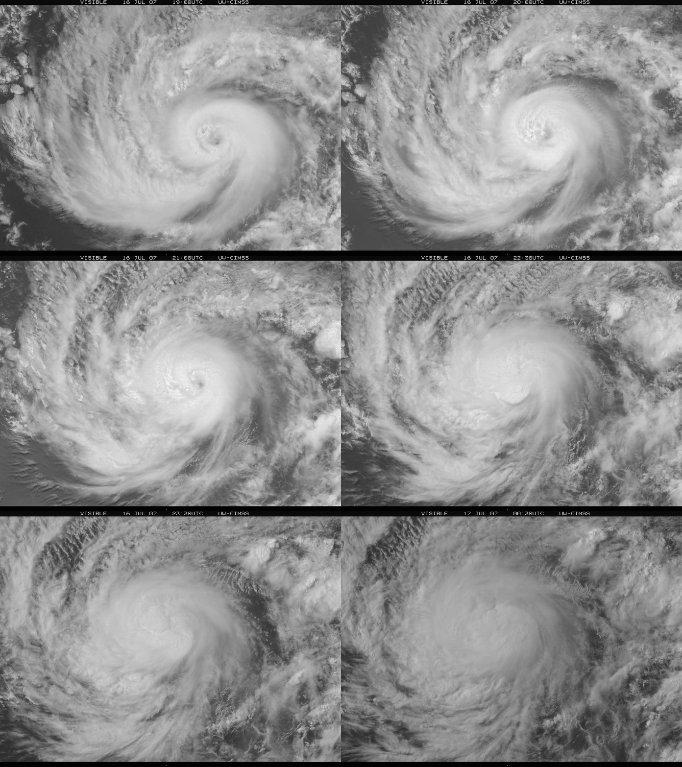
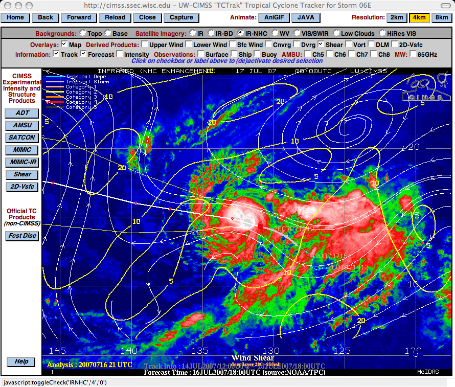
The 2007 tropical cyclone season has been rather boring quiet in both the Atlantic and East Pacific basins so far…but on 16 July 2007, Cosme became the first East Pacific hurricane of the season (about 1600 miles east-southeast of Hawaii). It is interesting to note that only 4 previous East Pacific tropical cyclone seasons have had their first hurricane form later than Cosme. An animation of GOES-11 visible imagery (above) showed some hints of an eye from 19:00-21:00 UTC, but subsequent convective bursts around the core of the storm masked the presence of an eye after that time. The CIMSS “TCTrak” analysis tool (below) indicated that Hurricane Cosme existed in an environment of relatively weak deep-layer (200-850 hPa) wind shear, which was a factor that aided in the slow intensification to hurricane strength during the day. The “TCTrak” tool is a feature on the newly-revised CIMSS Tropical Cyclones website that allows the user to select a variety of satellite views and meteorological product overlays.


