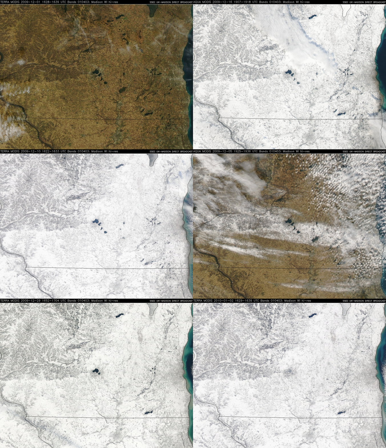
The first month of Winter in southern Wisconsin
A sequence of MODIS true color images from the SSEC MODIS Direct Broadcast site (above; also available as a QuickTime animation) showed a few snapshots from the first month of Winter 2009/2010 across southern Wisconsin. You can see the transition from bare ground on 01 December…to a few narrow swaths of snow cover early in the month…to widespread deep snow cover on 10 December in the wake of a major winter storm…and finally to all the lakes freezing in the Madison area (located at the center of the images) on 02 January.
December 2009 was the 5th snowiest December on record in Madison, with 26.8 inches falling (the snowiest December was 40.4 inches, recorded in December 2008). The maximum snow depth on the ground at Madison’s Dane County Regional Airport was 13 inches on 09 December; however, a snow depth of 20 inches was reported on that day at McFarland in southern Dane county.


