River valley fog across the Mid-South

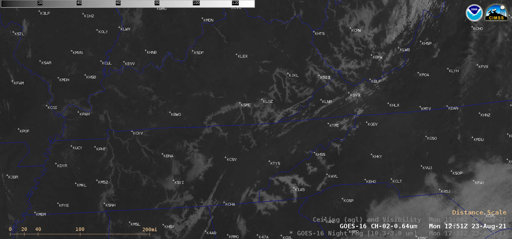
GOES-16 Night Fog BTD (10.3-3.9 µm) and “Red” Visible (0.64 µm) images, with and without plots of Ceiling/Visibility [click to play animation | MP4]
GOES-16 (GOES-East) Night Fog BTD (10.3-3.9 µm) and “Red” Visible (0.64 µm) images on 23 August 2021 (above) showed the nighttime formation of widespread river valley fog across parts of the Mid-South and adjacent Appalachians — followed by morning fog dissipation once solar heating initiated boundary layer mixing. With surface high pressure in place over the area, light winds helped to provide ideal conditions for strong radiational cooling and fog formation; note that the surface visibility was reduced to zero at a few sites in Tennessee. Much of that same region had recently experienced heavy rainfall (7-day accumulation | 7-day percent of normal), particularly in Tennessee as discussed in this blog post.
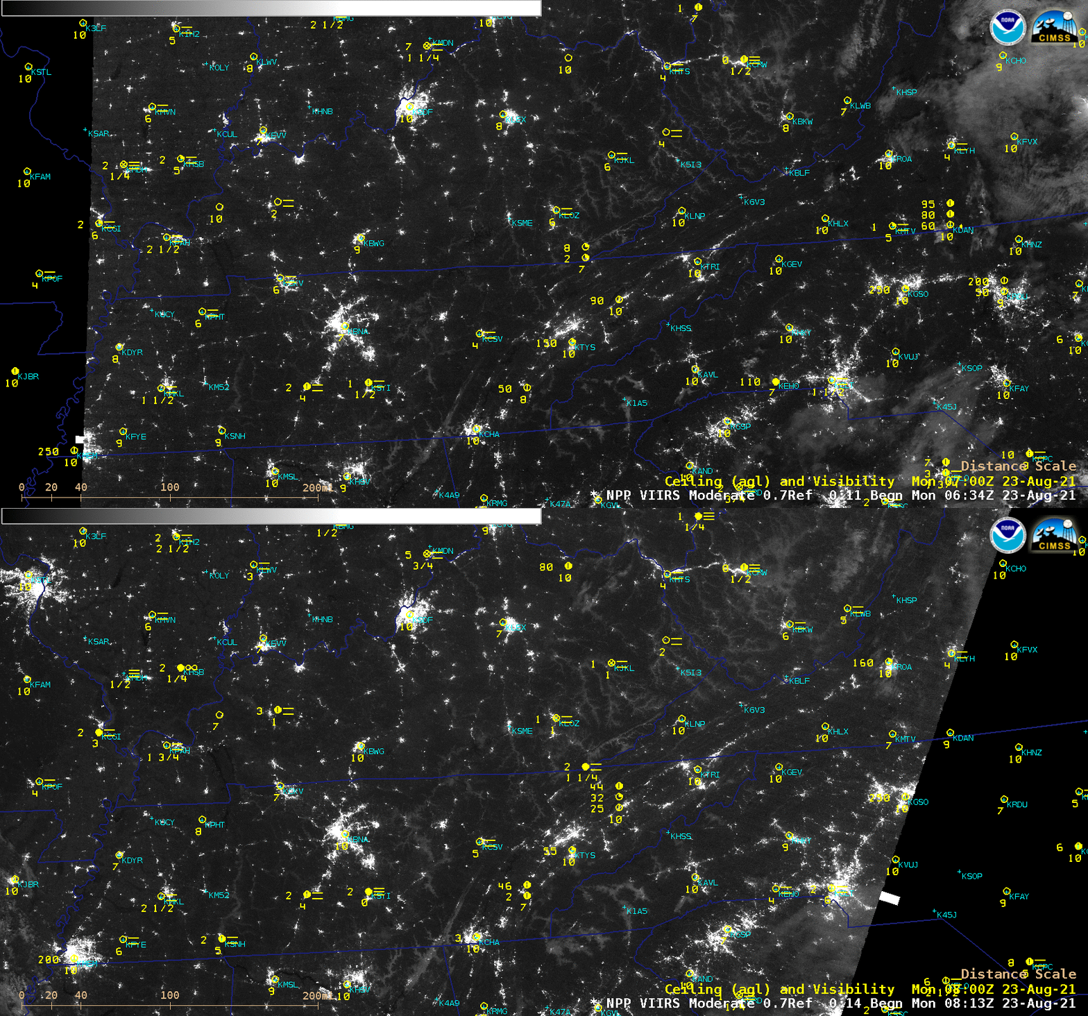
Suomi NPP VIIRS Day/Night Band (0.7 µm) images (below) displayed a subtle signature of some of the tendrils of river valley fog, and their growth during the ~90 minutes between the two satellite overpasses.


