Offshore transport of glacial silt from Southeast Alaska
![GOES-17 CIMSS Natural Color RGB images [click to play animation | MP4]](https://cimss.ssec.wisc.edu/satellite-blog/images/2021/04/210425_goes17_cimssNaturalColorRGB_AK_anim.gif)
GOES-17 CIMSS Natural Color RGB images [click to play animation | MP4]
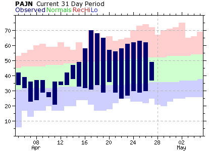
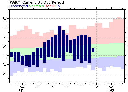
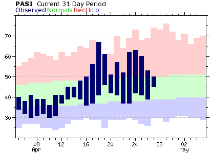
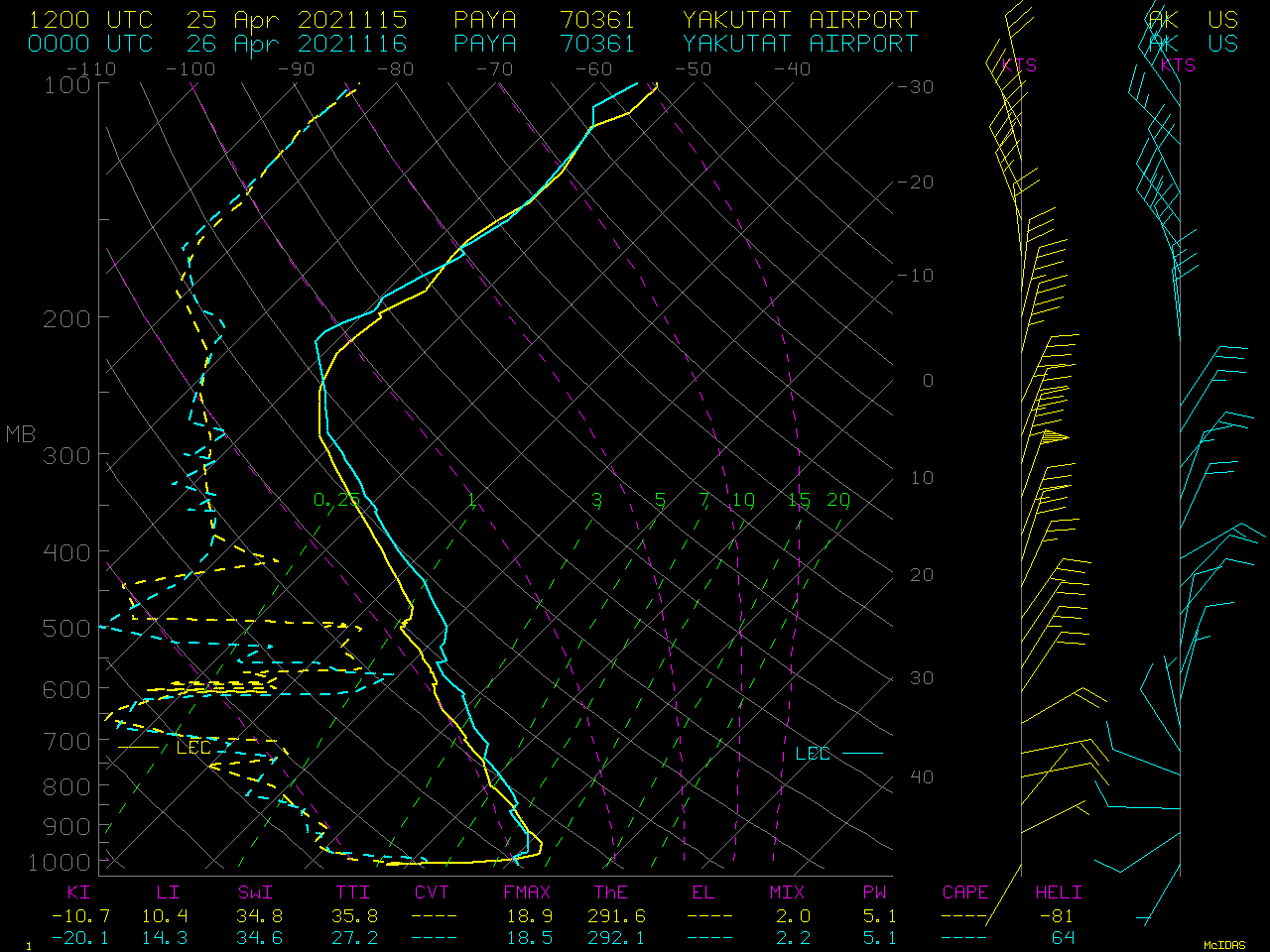
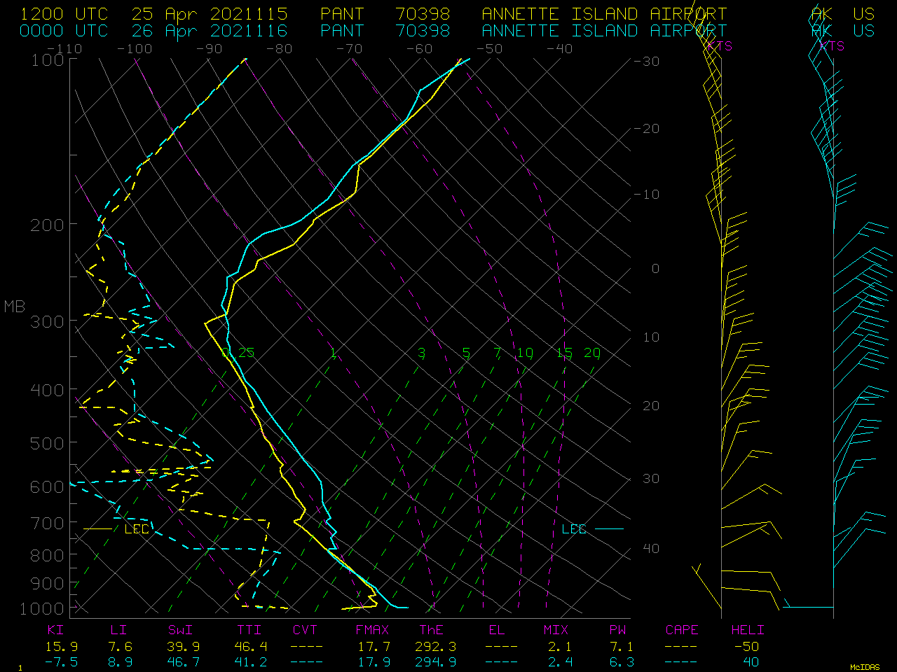
The leading edge of the aerosol could also be seen in GOES-17 Near-Infrared “Cirrus” (1.37 µm) images (below). The presence of a very dry air mass over the region (rawinsonde data: Yakutat | Annette Island) allowed some of the lower-tropospheric aerosol to be sensed by this spectral band.
![GOES-17 Near-Infrared "Cirrus" (1.37 µm) images [click to play animation | MP4]](https://cimss.ssec.wisc.edu/satellite-blog/images/2021/04/210425_goes17_nearInfraredCirrus_AK_anim.gif)
GOES-17 Near-Infrared “Cirrus” (1.37 µm) images [click to play animation | MP4]
![GOES-17 True Color RGB images [click to play animation | MP4]](https://cimss.ssec.wisc.edu/satellite-blog/images/2021/04/210425_goes17_trueColorRGB_AK_anim.gif)
GOES-17 True Color RGB images [click to play animation | MP4]
![Suomi NPP VIIRS Day/Night Band (0.7 µm) image [click to enlarge]](https://cimss.ssec.wisc.edu/satellite-blog/images/2021/04/ak_dnb-20210425_122142.png)
Suomi NPP VIIRS Day/Night Band (0.7 µm) image [click to enlarge]