Tornado near Birmingham, Alabama

GOES-16 “Clean” Infrared Window (10.35 um) images [click to play animation | MP4]
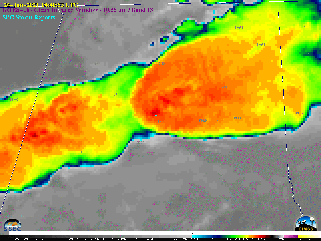
A slightly closer view of GOES-16 Infrared images that include plots of surface reports is shown below. Dew point values feeding northeastward into the thunderstorms were in the middle 60s F.
![GOES-16 "Clean" Infrared Window (10.35 um) images [click to play animation | MP4]](https://cimss.ssec.wisc.edu/satellite-blog/images/2021/01/al_ir-20210126_044053.png)
GOES-16 “Clean” Infrared Window (10.35 um) images [click to play animation | MP4]
![Plot of 00 UTC rawinsonde data from Birmingham, Alabama [click to enlarge]](https://cimss.ssec.wisc.edu/satellite-blog/images/2021/01/210126_00utc_kbmx_raob.png)
Plot of 00 UTC rawinsonde data from Birmingham, Alabama [click to enlarge]

