Fire activity across southern Mexico
GOES-16 “Red” Visible (0.64 um) and Shortwave Infrared (3.9 um) images [click to play animation | MP4]
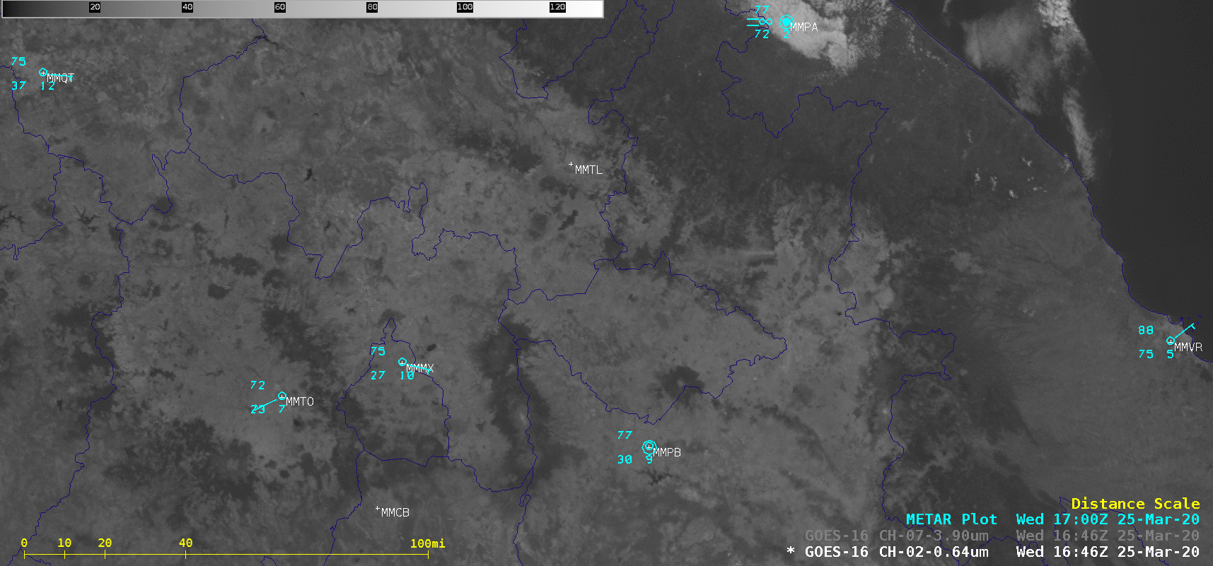
Farther to the east, GOES-16 Shortwave Infrared images (below) displayed the hot thermal signatures of widespread agricultural fires across Mexico’s Yucatan Peninsula. Such fires occur here and over much of Central America as farmers prepare their fields for another round of crop planting.
![GOES-16 Shortwave Infrared (3.9 um) images [click to play animation | MP4]](https://cimss.ssec.wisc.edu/satellite-blog/images/2020/03/200325_goes16_shortwaveInfrared_Yucatan_fires_anim.gif)
GOES-16 Shortwave Infrared (3.9 um) images [click to play animation | MP4]
![GOES-16 True Color RGB images [click to play animation | MP4]](https://cimss.ssec.wisc.edu/satellite-blog/images/2020/03/200325_goes16_trueColorRGB_Gulf_of_Mexico_smoke_anim.gif)
GOES-16 True Color RGB images [click to play animation | MP4]