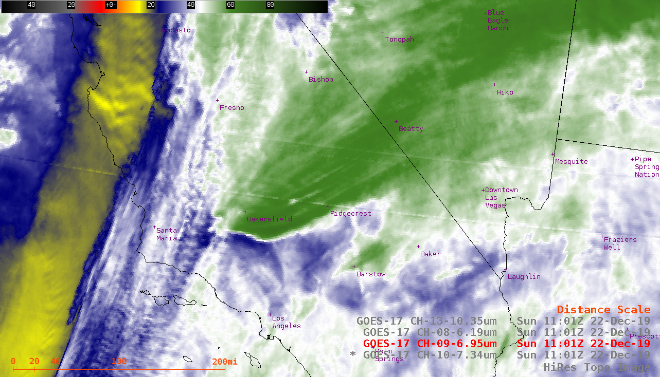
Orographic banner cloud over Southern California

GOES-17 Low-level (7.3 µm), Mid-level (6.9 µm), Upper-level (6.2 µm) Water Vapor and “Clean” Infrared Window (10.35 µm) images [click to play animation | MP4]
Within the banner cloud, the coldest GOES-17 Infrared brightness temperatures were in the -60 to -65ºC range — according to rawinsonde data from Vandenberg, California (below), those temperatures corresponded to altitudes in the 12-15 km range.


![12 UTC rawinsonde data from Vandenberg, California [click to enlarge]](https://cimss.ssec.wisc.edu/satellite-blog/images/2019/12/191222_12utc_kvbg_raob.png)