Fatal tornado outbreak in Florida
GOES-12 10.7µm InfraRed (IR) imagery (above; Java animation) shows the development of multiple lines of convection that produced numerous reports of damaging winds and tornadoes across northern and central Florida during the pre-dawn hours on 02 February 2007. The counties where damaging winds and/or tornadoes were reported are highlighted in blue around the times of the SPC storm reports. At least 3 of these tornadoes have been rated as producing EF-3 damage, and 20 deaths have been reported so far as a result of these storms. While fairly cold IR cloud top temperatures were noted at times (-60º to -66º C, red to dark red enhancement), there were no “enhanced-V” or other typical severe storm IR signatures associated with this convection.
.
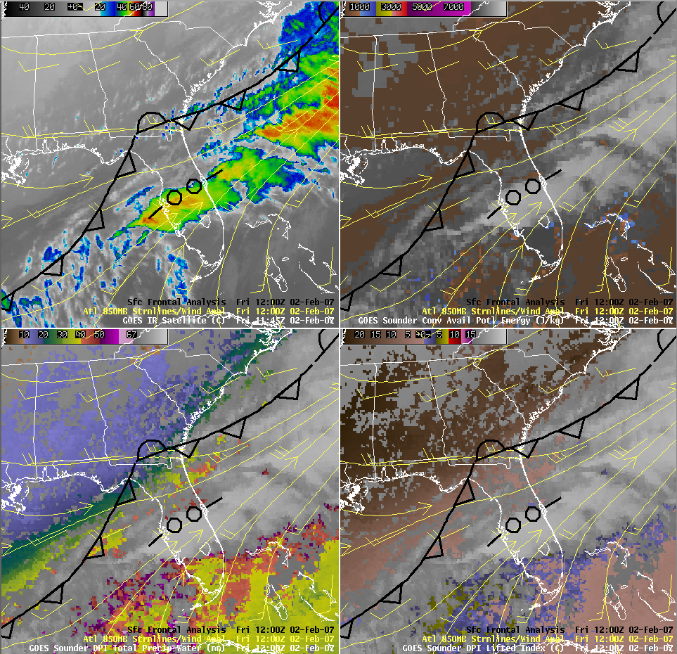
These supercells formed within an environment of high vertical wind shear, which enabled the thunderstorm updrafts to develop strong rotation; in addition, a strong upper tropospheric jet stream was located over the southeastern US, producing high wind speeds aloft and supporting large-scale lift over Florida. The lines of severe convection were forming within a zone of pre-frontal lower-tropospheric convergence; while it was too cloudy to sample the immediate pre-convective environment, GOES-12 sounder derived product imagery (DPI) at 00 UTC and at 12:00 UTC (below) did show that the air mass ahead of the approaching frontal boundary was relatively moist (PW values of 40-50 mm) with modest winter-season instability (LI values of 0º to -6º C, CAPE values of 0 to 1000 J/kg).


