Antares rocket launch from Wallops Flight Facility, Virginia
![Sequence of individual GOES-16 ABI spectral bands, from 1358-1406 UTC [click to play animation | MP4]](https://cimss.ssec.wisc.edu/satellite-blog/wp-content/uploads/sites/5/2019/11/191102_goes16_Wallops_Antares_rocket_launch_anim.gif)
Sequence of GOES-16 ABI spectral band images, from 1358-1406 UTC [click to play animation | MP4]
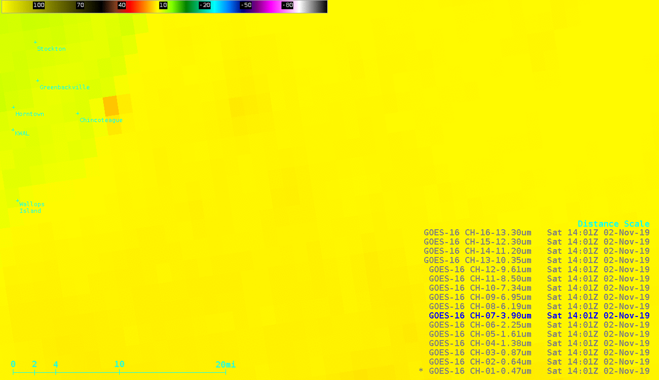
In addition, a thermal signature of air that was superheated by the rocket exhaust was evident in Shortwave Infrared (3.9 µm) and Water Vapor (6.2 µm, 6.9 µm and 7.3 µm) images — initially about 2-3 miles east-northeast of Chincoteague at 1401 UTC, and then about 50 miles due east of Wallops Island at 1402 UTC (below). Also apparent on the 1402 UTC Water Vapor images was the cooler signature of the low-altitude exhaust condensation cloud near Chincoteague.
![GOES-16 Shortwave Infrared (3.9 µm) and Water Vapor (6.2 µm, 6.9 µm and 7.3 µm) images at 1402 UTC [click to enlarge]](https://cimss.ssec.wisc.edu/satellite-blog/wp-content/uploads/sites/5/2019/11/191102_1402utc_goes16_shortwaveInfrared_waterVapor_Wallops_Antares_thermal_signature_anim.gif)
GOES-16 Shortwave Infrared (3.9 µm) and Water Vapor (6.2 µm, 6.9 µm and 7.3 µm) images at 1402 UTC [click to enlarge]
![16-panel images of GOES-16 ABI spectral bands from 1400-1406 UTC [click to play animation]](https://cimss.ssec.wisc.edu/satellite-blog/wp-content/uploads/sites/5/2019/11/191102_goes16_abi16panel_Wallops_Antares_rocket_launch_anim.gif)
16-panel images of GOES-16 ABI spectral bands from 1400-1406 UTC [click to play animation]
![GOES-16 Cloud Top Temperature and Cloud Top Phase products [click to enlarge]](https://cimss.ssec.wisc.edu/satellite-blog/wp-content/uploads/sites/5/2019/11/191102_goes16_cloudTopTemperature_cloudTopPhase_Wallops_Antares_rocket_launch_anim.gif)
GOES-16 Cloud Top Temperature and Cloud Top Phase products [click to enlarge]
![Plot of 12 UTC rawinsonde data from Wallops Flight Facility, Virginia [click to enlarge]](https://cimss.ssec.wisc.edu/satellite-blog/wp-content/uploads/sites/5/2019/11/191102_12UTC_KWAL_RAOB.GIF)
Plot of 12 UTC rawinsonde data from Wallops Flight Facility, Virginia [click to enlarge]
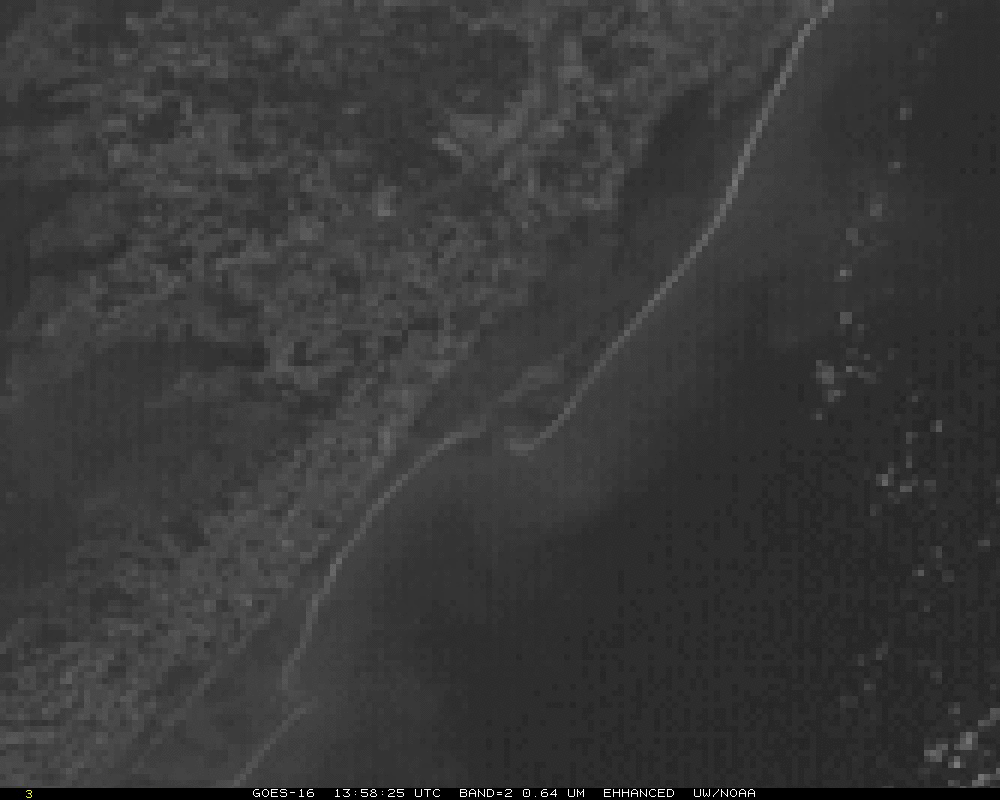
GOES-16 “Red” Visible (0.64 µm) images (courtesy of Tim Schmit, NOAA/NESDIS/ASPB) [click to enlarge]