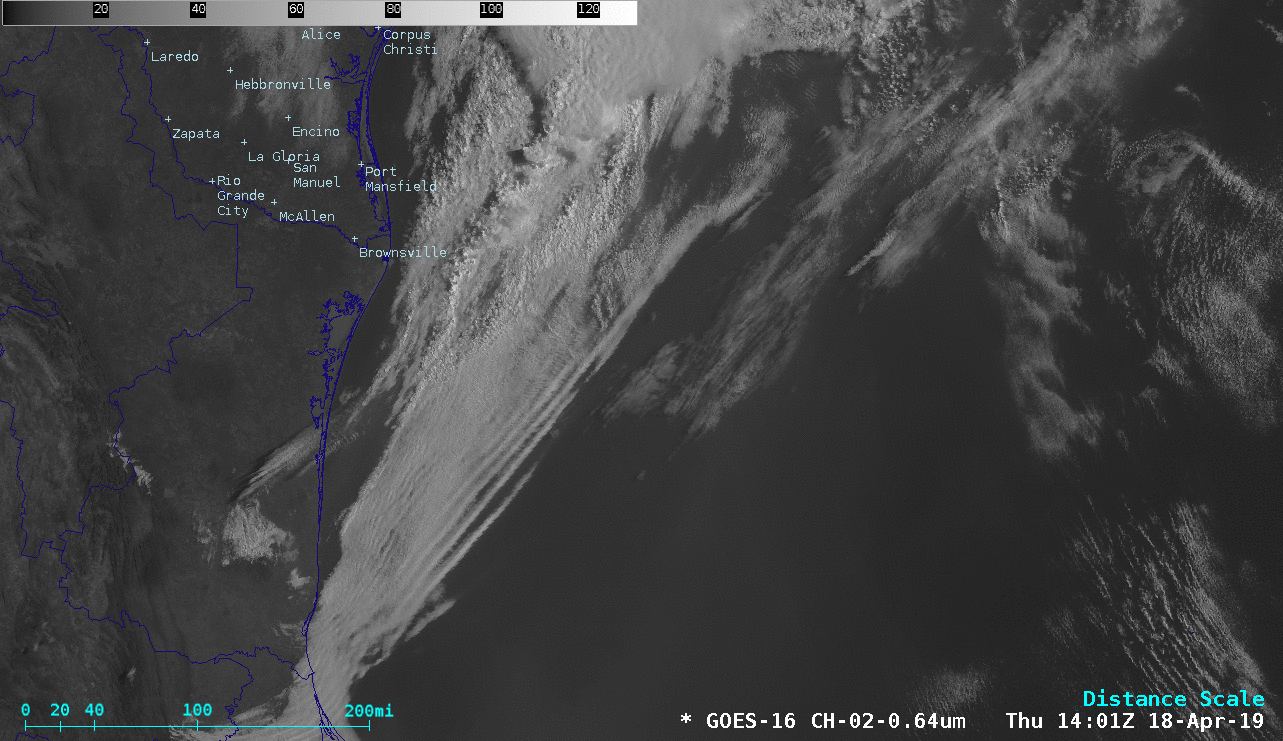
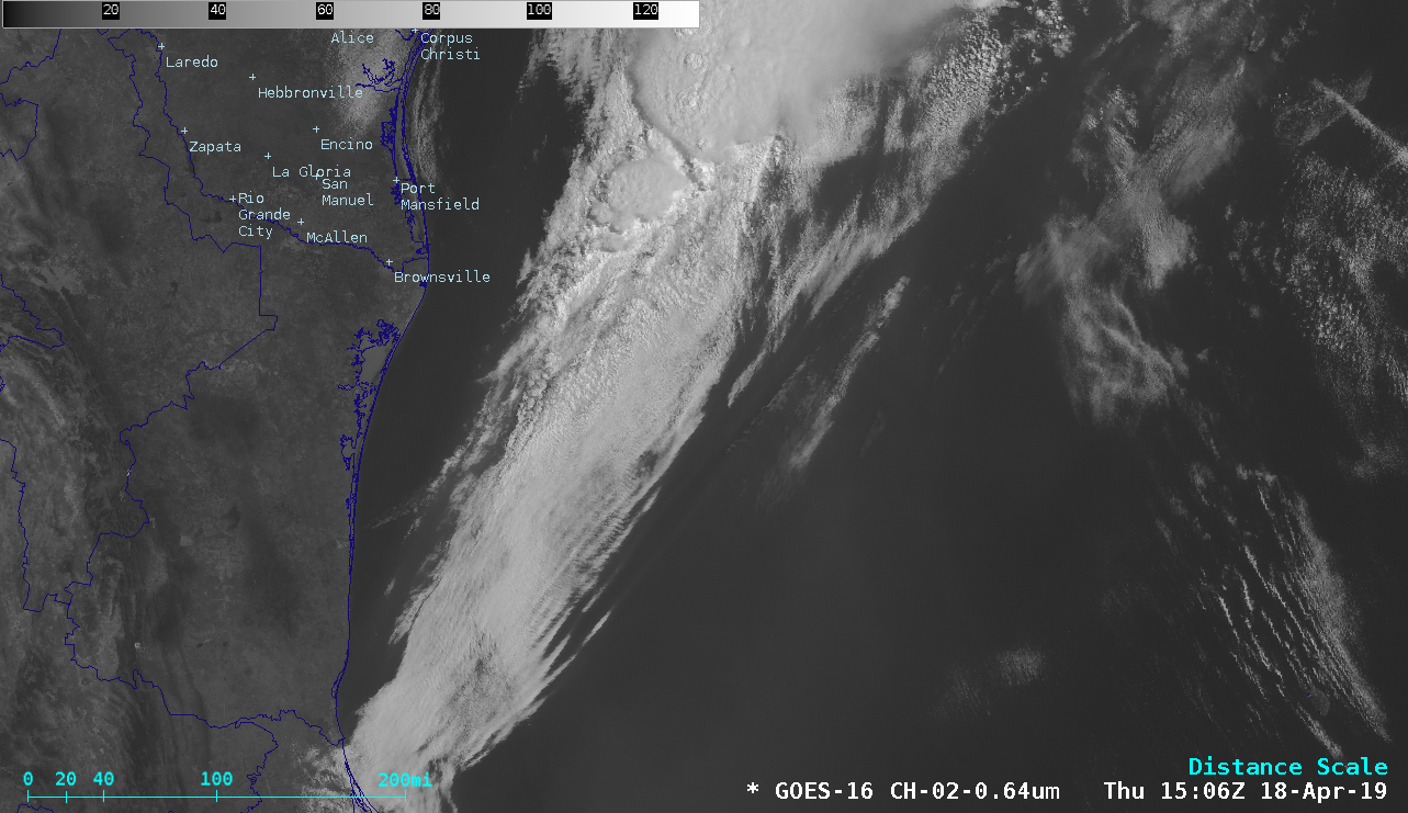
Smoke in the Gulf of Mexico
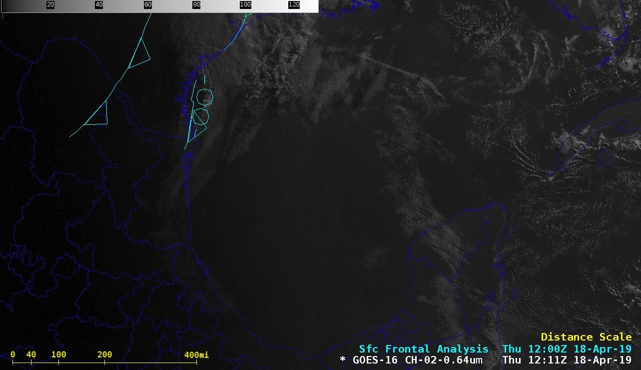
GOES-16 “Red” Visible (0.64 µm) images, with surface fronts plotted in cyan [click to play animation | MP4]
The hazy signature of smoke was better defined in GOES-16 True Color Red-Green-Blue (RGB) images from the AOS site (below). This smoke was the result of widespread annual Springtime agricultural burning across southern Mexico, Guatemala, Belize and Honduras. Toward the end of the day, additional small plumes of smoke and blowing dust could be seen moving back across the Gulf of Mexico into the “cleaner” air behind the cold front.
![GOES-16 True Color RGB images [click to play animation | MP4]](https://cimss.ssec.wisc.edu/satellite-blog/wp-content/uploads/sites/5/2019/04/190418_goes16_truecolorRGB_Gulf_of_Mexico_anim.gif)
GOES-16 True Color RGB images [click to play animation | MP4]
![GOES-16 Shortwave Infrared (3.9 µm) images [click to play animation | MP4]](https://cimss.ssec.wisc.edu/satellite-blog/wp-content/uploads/sites/5/2019/04/190418_goes16_shortwaveInfrared_Mexico_Central_America_fires_anim.gif)
GOES-16 Shortwave Infrared (3.9 µm) images [click to play animation | MP4]
![Fires detected by Suomi NPP VIIRS on 17 April [click to enlarge]](https://cimss.ssec.wisc.edu/satellite-blog/wp-content/uploads/sites/5/2019/04/190417_suomiNPP_viirs_fire_detections.png)
Fires detected by Suomi NPP VIIRS on 17 April [click to enlarge]