Signatures of fresh snowfall in the Dakotas

GOES-16 Near-Infrared “Snow/Ice” (1.61 µm) images [click to play animation | MP4]
A similar (albeit broader and more continuous) northwest-southeast swath of fresh snowfall was seen across South Dakota (below).
![GOES-16 Near-Infrared "Snow/Ice" (1.61 µm) images [click to play animation | MP4]](https://cimss.ssec.wisc.edu/satellite-blog/wp-content/uploads/sites/5/2019/03/190317_goes16_snowIce_SD_fresh_snowfall_anim.gif)
GOES-16 Near-Infrared “Snow/Ice” (1.61 µm) images [click to play animation | MP4]
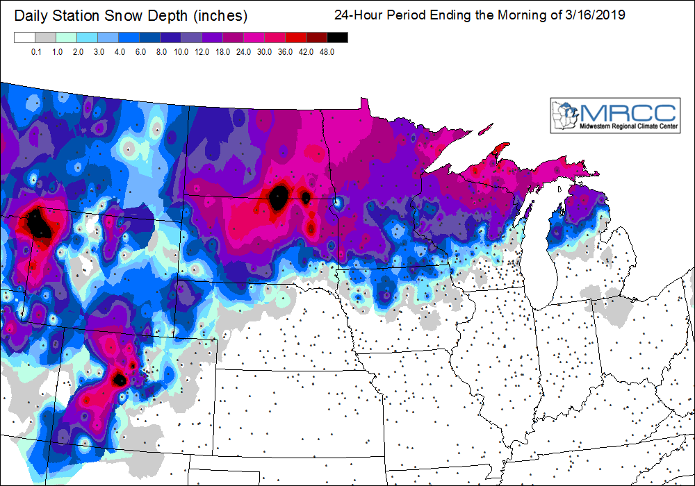
![24-hour precipitation ending at 12 UTC on 17 March [click to enlarge]](https://cimss.ssec.wisc.edu/satellite-blog/wp-content/uploads/sites/5/2019/03/190317_12utc_24hour_precipitation.png)
24-hour precipitation ending at 12 UTC on 17 March [click to enlarge]