Severe thunderstorms in North Dakota and South Dakota
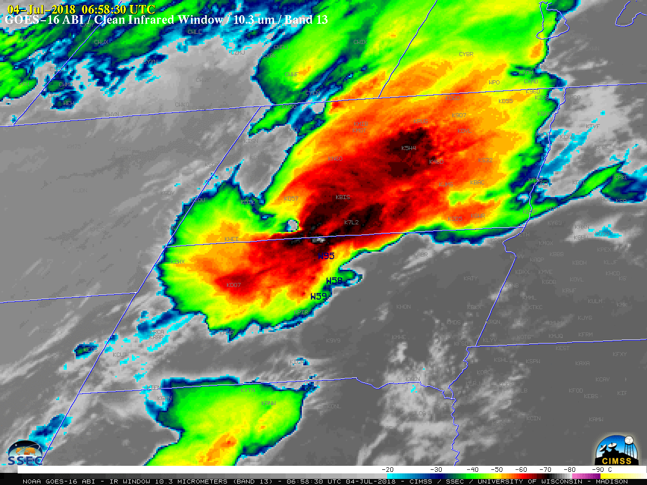
GOES-16 “Clean” Infrared Window (10.3 µm) images, with SPC storm reports plotted in blue [click to play MP4 animation]
Nighttime comparisons of VIIRS instrument Day/Night Band (0.7 µm) and Infrared Window (11.45 µm) imagery from the Suomi NPP and NOAA-20 satellites are shown below (courtesy of William Straka, CIMSS). With illumination from the Moon (which was in the Waning Gibbous phase, at 68% of Full), the “visible image at night” capability of the Day/Night Band was demonstrated; numerous bright lighting streaks could also be seen, with many in the vicinity of the cold overshooting tops that were evident on Infrared imagery. The Infrared images also revealed cloud-top gravity waves which were propagating radially outward away from the primary clusters of cold overshooting tops.
![Suomi NPP VIIRS Day/Night Band (0.7 µm) and Infrared Window (11.45 µm) images [click to enlarge]](https://cimss.ssec.wisc.edu/satellite-blog/wp-content/uploads/sites/5/2018/07/180704_0805utc_suomi_npp_viirs_DayNightBand_InfraredWindow_ND_SD_MCS_anim.gif)
Suomi NPP VIIRS Day/Night Band (0.7 µm) and Infrared Window (11.45 µm) images [click to enlarge]
![NOAA-20 VIIRS Day/Night Band (0.7 µm) and Infrared Window (11.45 µm) images [click to enlarge]](https://cimss.ssec.wisc.edu/satellite-blog/wp-content/uploads/sites/5/2018/07/180704_0855utc_noaa20_viirs_DayNightBand_InfraredWindow_ND_SD_MCS_anim.gif)
NOAA-20 VIIRS Day/Night Band (0.7 µm) and Infrared Window (11.45 µm) images [click to enlarge]