Strong Thunderstorms move through Washington DC.

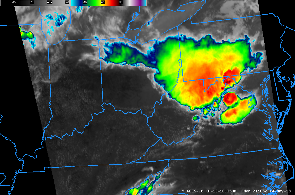
GOES-16 ABI Channel 13 “Clean Window” (10.3 µm) at 1-minute time-steps from 1607-2359 UTC on 14 May 2018 (Click to animate)
A GOES-16 Mesoscale Sector produced 1-minute imagery as a strong thunderstorm complex approached Washington DC late in the afternoon/early evening of 14 May 2018. The (150-megabyte (!!)) animated gif above shows overshooting tops quickly developing and decaying as the complex moved over the Potomac Basin. Winds in excess of 60 knots were reported around the Washington DC metropolitan area, with widespread tree damage. (Smaller MP4 animations with plots of SPC storm reports are also available: Infrared | Visible)
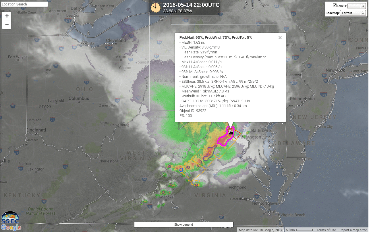
NOAA/CIMSS ProbSevere All Hazards (Source), below, showed very high ProbHail and ProbWind with this cell as it approached Washington DC.
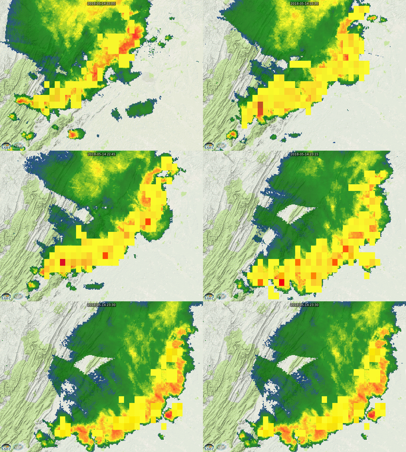
GOES-16 Geostationary Lightning Mapper (GLM) data from Real Earth (Link for animation), below, shows an increase in electrical activity to the storms as they moved through Washington DC.


