Hurricane Andres
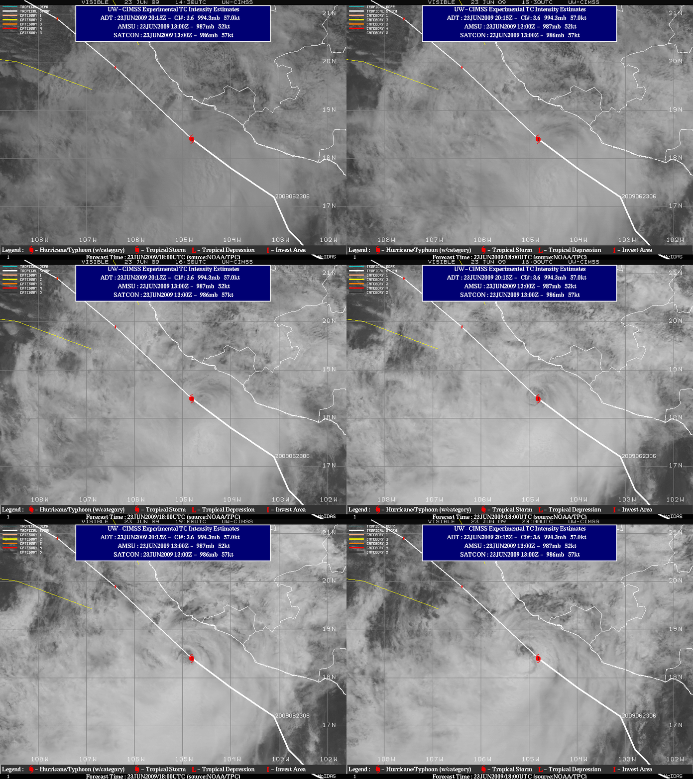
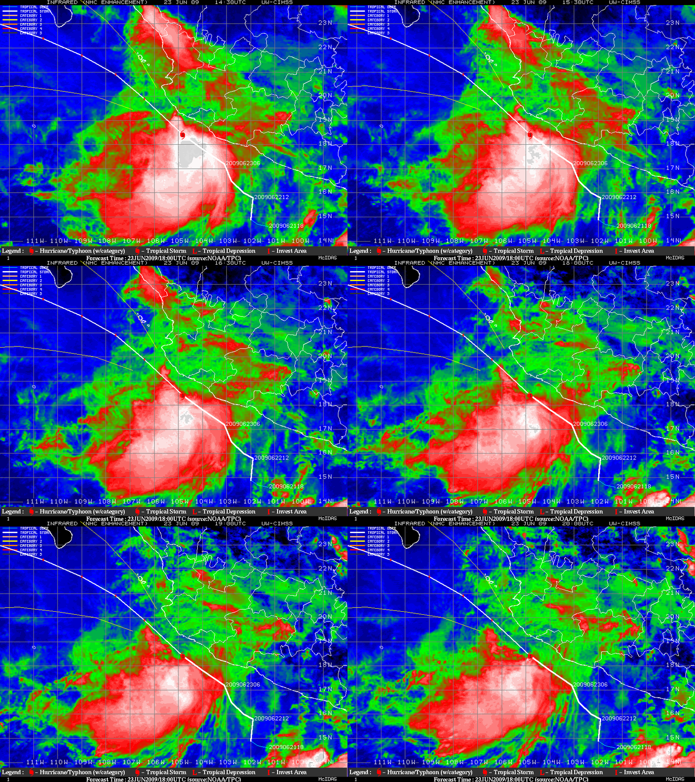
Hurricane Andres (briefly) became the first hurricane of the Eastern Pacific tropical cyclone season on 23 June 2009. However, the satellite presentation of Andres was rather unremarkable: even though a low-level “eye” circulation was recognizable on GOES-11 visible images from the CIMSS Tropical Cyclones site (above), the GOES-11 IR cloud top temperatures (below) were quite warm over the center of the Category 1 hurricane due to the fact that deep convection was displaced well to the south. However, a small convective burst could be seen developing along the southern periphery of the low-level circulation center on the final visible image at 20:00 UTC.


