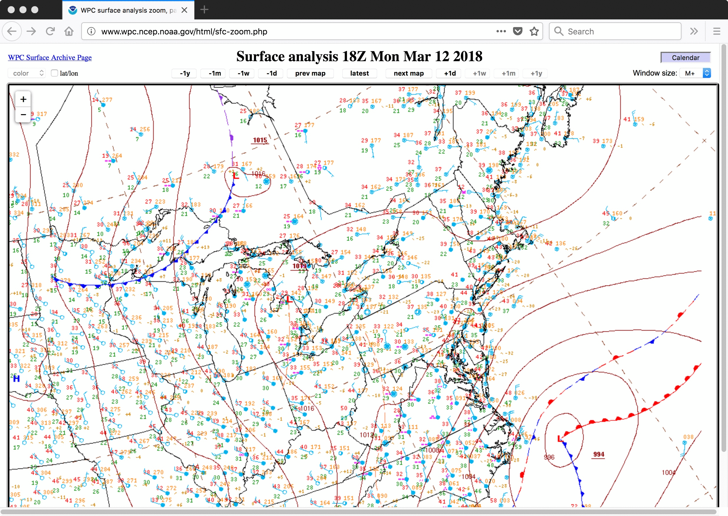
Nor’easter off the east coast of the US
![GOES-16 Mid-level (6.9 µm) Water Vapor images, with plots of hourly surface weather symbols [click to play MP4 animation]](https://cimss.ssec.wisc.edu/satellite-blog/wp-content/uploads/sites/5/2018/03/G16_WV9_EASTERN_US_12MAR2018_960x1280_B9_2018071_180222_0001PANEL_00217.GIF)
GOES-16 Mid-level (6.9 µm) Water Vapor images, with plots of hourly surface weather symbols [click to play MP4 animation]
GOES-16 “Clean” Infrared Window (10.3 µm) images (below) showed the cloud shied associated with the rapidly-intensifying Nor’easter on 13 March.
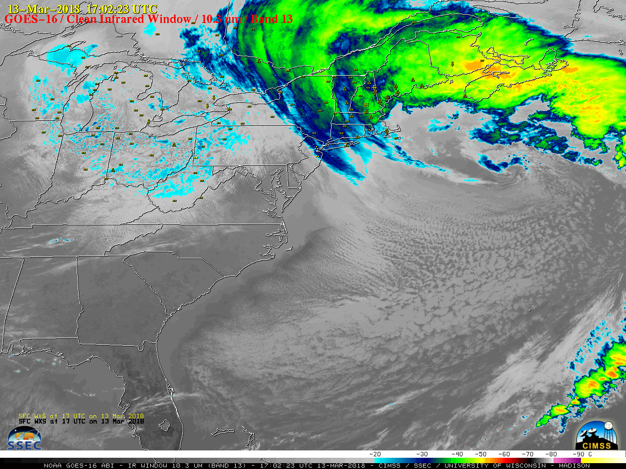
GOES-16 “Clean” Infrared Window (10.3 µm) images, with hourly plots of surface weather type [click to play MP4 animation]
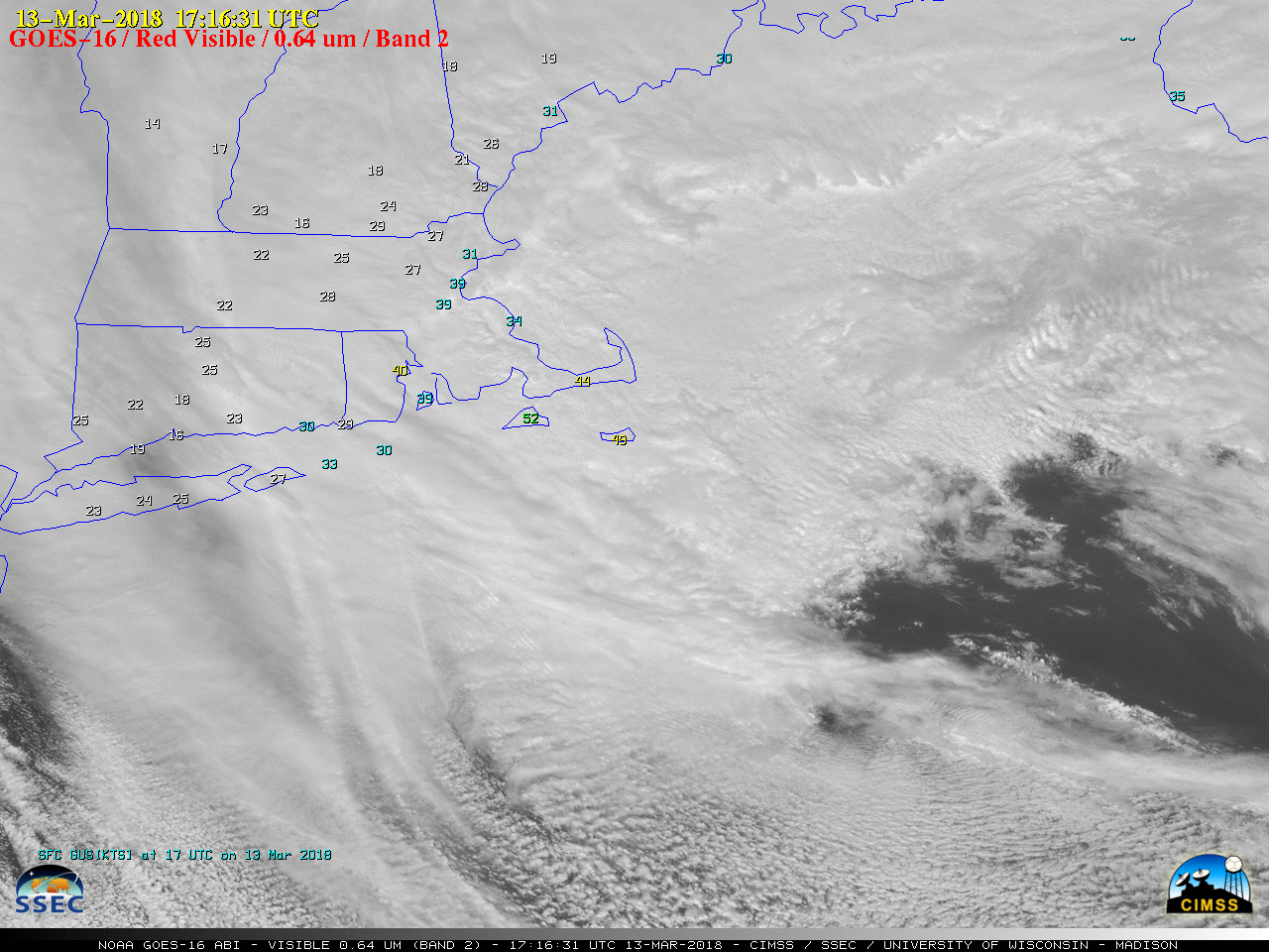
GOES-16 “Red” Visible (0.64 µm) images, with hourly surface wind gusts [click to play MP4 animation]