Launch of GOES-S
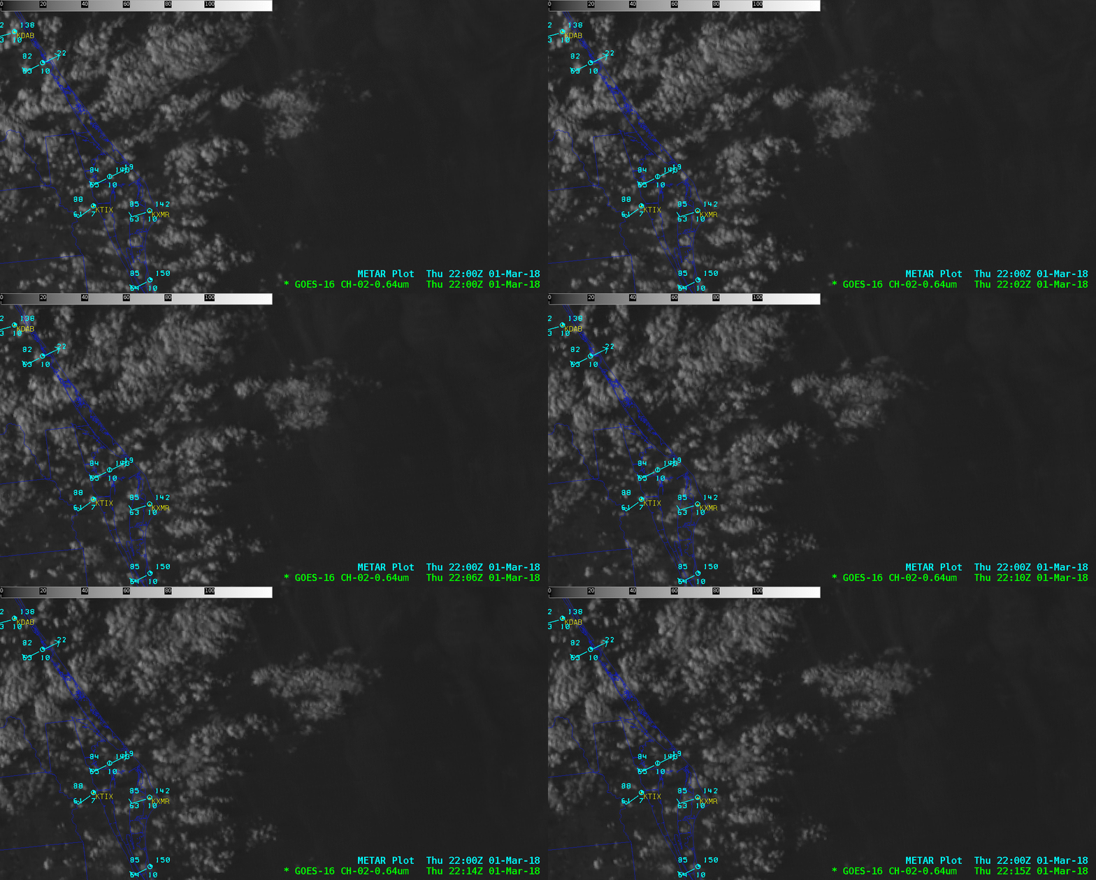
The GOES-S satellite was launched (video) from Space Launch Complex 41 on Cape Canaveral Air Force Station, Florida at 22:02 UTC on 01 March 2018 — and after a period of post-launch testing and evaluation, it will become the operational GOES-West satellite positioned at 137º West longitude. Signatures of the rocket exhaust condensation plume could be seen using 1-minute Mesoscale Sector GOES-16 (GOES-East) “Red” Visible (0.64 µm) and Near-Infrared “Cirrus” (1.37 µm) images (above). The Cirrus imagery was able to unambiguously track the rocket condensation plume for a longer period of time — while much of it continued to drift eastward, a portion of the plume began to drift westward back toward the launch site (this was also seen in the Visible imagery). The condensation plume was not necessarily composed of ice crystals, but the 1.37 µm spectral band is very effective at detecting features that are efficient scatters of light (such as cirrus ice crystals, small liquid cloud droplets, volcanic ash, blowing dust); since the rocket plume was located in the dry air situated above the moist boundary layer (Cocoa Beach soundings) its detection and motion was not masked by the extensive cumulus clouds closer to the surface.Warm thermal anomalies from the Atlas V rocket boosters were also evident on GOES-16 Upper-level (6.2 µm), Mid-level (6.9 µm) and Low-level (7.3 µm) Water Vapor images, moving rapidly eastward (below). The cooler signature of the lower-altitude rocket condensation plume was also evident as it slowly drifted offshore just east of the launch site.
While Shortwave Infrared (3.9 µm) imagery is useful for detection of thermal anomalies associated with wildfires or volcanic eruptions, in this case the warm rocket booster signature (darker gray to black pixels) was much less distinct (using a conventional “hot spot” enhancement) compared to what was seen on the water vapor imagery (below). A multi-panel animation (below) showed that a signature of the rocket plume and/or the thermal anomaly was seen on all 16 bands of the GOES-16 ABI. Note that a 3.9 µm Shortwave Infrared thermal signature (black pixels) was first seen on the 22:02:00 UTC image (GOES-16 was actually scanning that point at 22:02:30 UTC, just before the rocket reached Mach 1 velocity) — prior to the condensation cloud plume becoming apparent beginning at 22:03:00. A 4-panel animation of GOES-16 Water Vapor and Shortwave Infrared images from AWIPS is shown below. With a color enhancement applied to the 3.9 µm Shortwave Infrared images, the thermal anomaly signature — the long streak of high-altitude superheated air from the rocket boosters — was better highlighted on the 22:05 UTC image (compared to the grayscale McIDAS version seen above).Below is an animation of GOES-16 “Red” Visible (0.64 µm) images from AWIPS, providing another view of the rocket condensation plume.