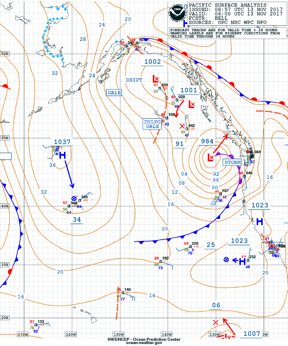
Strong storm off the Pacific Northwest coast
* GOES-16 data posted on this page are preliminary, non-operational and are undergoing testing *
![Suomi NPP VIIRS Day/Night Band (0.7 µm) and Infrared Window (11.45 µm) images [click to enlarge]](https://cimss.ssec.wisc.edu/satellite-blog/wp-content/uploads/sites/5/2017/11/171113_1050utc_suomi_npp_viirs_DayNightBand_InfraredWindow_PACNW_anim.gif)
Suomi NPP VIIRS Day/Night Band (0.7 µm) and Infrared Window (11.45 µm) images [click to enlarge]
A GOES-16 Mesoscale Sector had been positioned over that region, providing imagery at 1-minute intervals — the structure and evolution of the storm could be seen using Lower-level (7.3 µm), Mid-level (6.9 µm) and Upper-level (6.2 µm) Water Vapor imagery (below).
![GOES-16 Lower-level (7.3 µm, left), Mid-level (6.9 µm, center) and Upper-level (6.2 µm, right) Water Vapor images [click to play MP4 animation]](https://cimss.ssec.wisc.edu/satellite-blog/wp-content/uploads/sites/5/2017/11/G16_WV_PACNW_13NOV2017_960x427_B1098_2017317_192856_0003PANELS_00509.GIF)
GOES-16 Lower-level (7.3 µm, left), Mid-level (6.9 µm, center) and Upper-level (6.2 µm, right) Water Vapor images [click to play MP4 animation]
![GOES-16 Visible (0.64 µm) images, with hourly wind gusts plotted in yellow [click yo play MP4 animation]](https://cimss.ssec.wisc.edu/satellite-blog/wp-content/uploads/sites/5/2017/11/960x1280_AGOES16_B2_G16_VIS_MESO_13NOV2017_2017317_210256_0001PANEL.GIF)
GOES-16 Visible (0.64 µm) images, with hourly wind gusts plotted in yellow [click yo play MP4 animation]
![Suomi NPP VIIRS Visible (0.64 µm) and Infrared Window (11.45 µm) images [click to enlarge]](https://cimss.ssec.wisc.edu/satellite-blog/wp-content/uploads/sites/5/2017/11/171113_2038utc_suomi_npp_viirs_Visible_InfraredWindow_PACNW_anim.gif)
Suomi NPP VIIRS Visible (0.64 µm) and Infrared Window (11.45 µm) images [click to enlarge]