Tropical Storm Emily forms in the eastern Gulf of Mexico
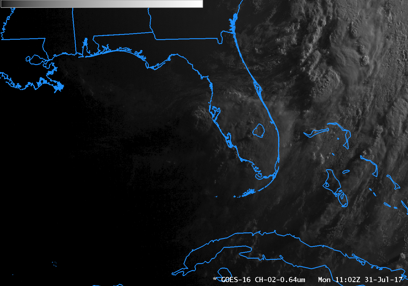
GOES-16 Visible (0.64 µm) Imagery from 1102-1327 UTC on 31 July 2017 (Click to animate)
GOES-16 data posted on this page are preliminary, non-operational and are undergoing testing
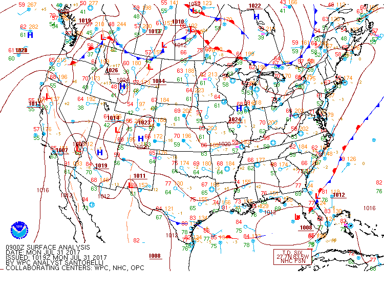
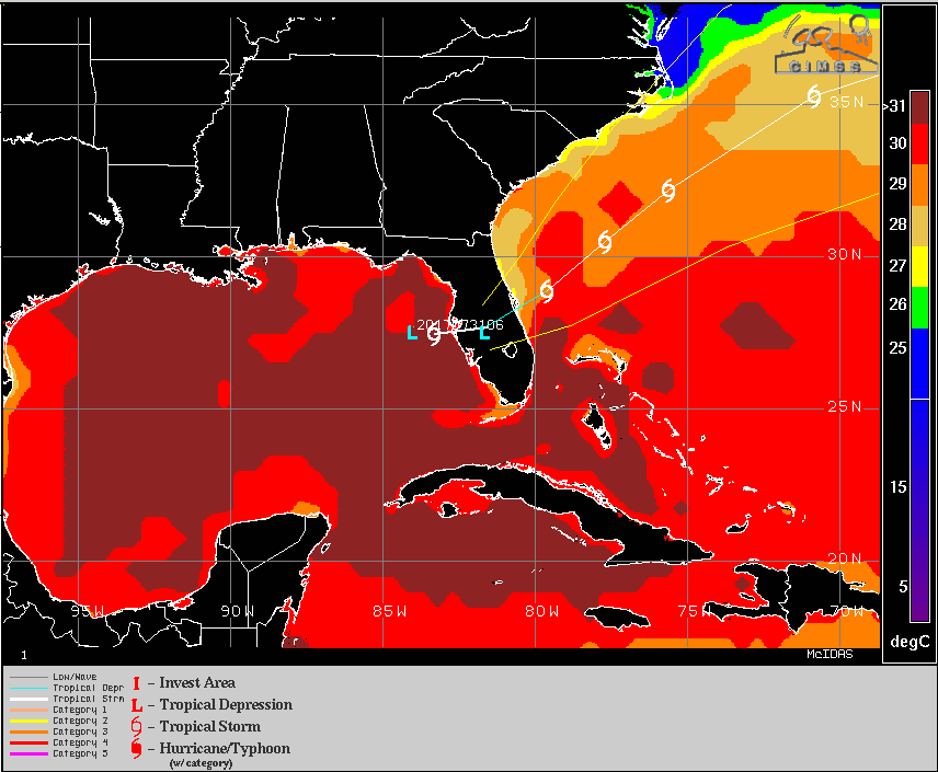
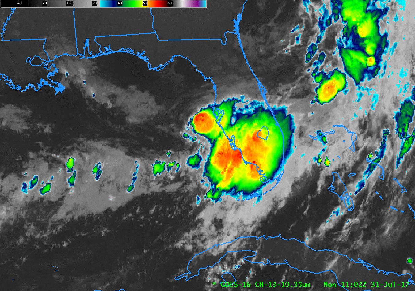
Tropical Storm Emily has formed in the eastern Gulf of Mexico on 31 July 2017, just to the west of Tampa/St. Petersburg, Florida. Its presence is possibly related to the surface front that has sagged south into Florida over the weekend. (Sea Surface Temperatures in the area are very warm as well.) In the Visible (0.64 µm) animation above (a slower animation is available here), the curved bands of the low-level cloud field are noticeable just northwest of the large convective cluster near Tampa Bay. Clean Window (10.3 µm) Infrared Imagery shows that offshore convection waned between 1100 and 1300 UTC, shifting to a location just south of Tampa. (Click here for a slower animation)

GOES-16 Clean Window Infrared (10.33 µm) Imagery from 1102-1327 UTC on 31 July 2017 (Click to animate)
About an hour after Emily made landfall, a toggle between Terra MODIS Visible (0.65 µm) and Infrared Window (11.0 µm) images, below, showed the compact cluster of deep convection — cloud-top infrared brightness temperatures were as cold as -74º C just off the Florida coast.
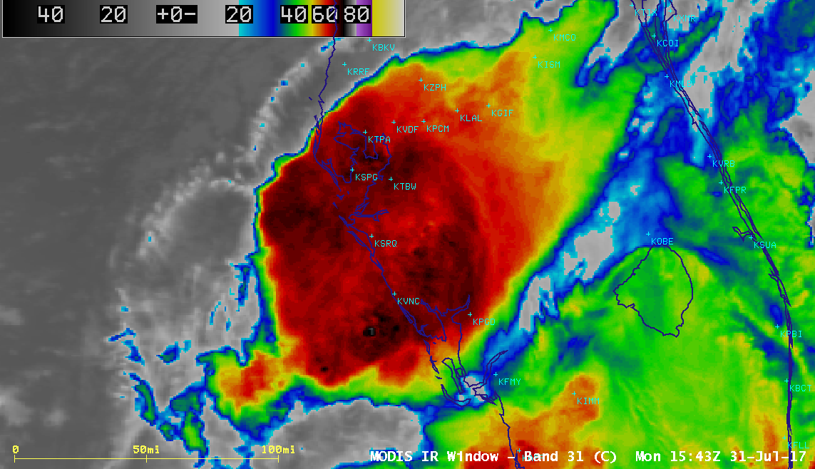
Terra MODIS Visible (0.65 µm) and Infrared Window (11.0 µm) images (Click to enlarge)
For more information on Emily, refer to the National Hurricane Center website, or to the CIMSS Tropical Weather Pages.