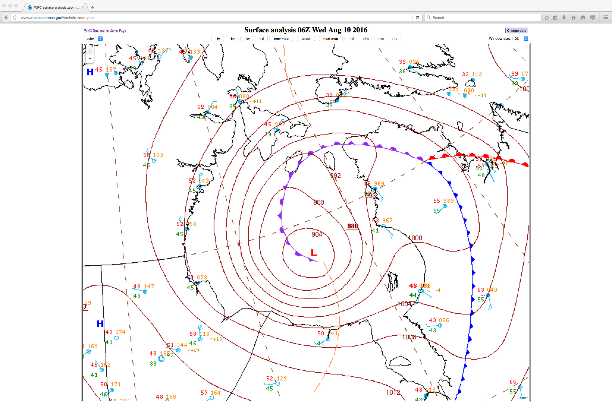
Deep cyclone over Hudson Bay
![GOES-13 Water Vapor (6.5 µm) images, with hourly surface observations [click to play animation]](https://cimss.ssec.wisc.edu/satellite-blog/wp-content/uploads/sites/5/2016/08/160809-10_goes13_water_vapor_Hudson_Bay_anim.gif)
GOES-13 Water Vapor (6.5 µm) images, with hourly surface observations [click to play animation]
Daily composites of Suomi NPP VIIRS true-color Red/Green/Blue (RGB) images visualized using RealEarth (below) showed the storm on 08, 09 and 10 August.
![Suomi NPP VIIRS true-color RGB images [click to enlarge]](https://cimss.ssec.wisc.edu/satellite-blog/wp-content/uploads/sites/5/2016/08/160808-10_suomi_npp_viirs_truecolor_Hudson_Bay_cyclone_anim.gif)
Suomi NPP VIIRS true-color RGB images [click to enlarge]