GOES-14 SRSO-R: Thunderstorms over the ArkLaMiss and Mid-Atlantic regions
![GOES-13 Infrared (10.7 µm) and Suomi NPP VIIRS Infrared (11.45 µm) images [click to enlarge]](https://cimss.ssec.wisc.edu/satellite-blog/wp-content/uploads/sites/5/2015/08/150811_0845utc_goes13_viirs_ir_AR_LA_MS_mcs_anim.gif)
GOES-13 Infrared (10.7 µm) and Suomi NPP VIIRS Infrared (11.45 µm) images [click to enlarge]
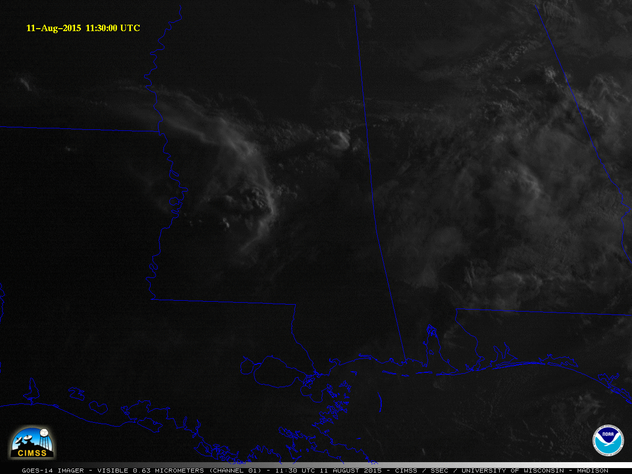
With the arrival of daylight the following morning, 1-minute interval GOES-14 SRSO-R visible (0.63 µm) images (below) revealed the presence of numerous short-lived overshooting tops which were penetrating the cirrus canopy of the persisting MCS. The formation of a well-defined outflow boundary was also seen, which continued to move southward during the late morning hours. The MP4 movie file is also available as a very large (73 Mbyte) animated GIF. A GOES-14 1-minute-image IR (10.7 µm) animation which shows the initial development and subsequent motion of the MCS can be seen here.
![GOES-14 visible (0.63 µm) images [click to play MP4 animation]](https://cimss.ssec.wisc.edu/satellite-blog/wp-content/uploads/sites/5/2015/08/960x1280_GOES14_B1_MS_TRW_2015223_135000.GIF)
GOES-14 visible (0.63 µm) images [click to play MP4 animation]
![GOES-14 visible (0.63 µm) images [click to play MP4 animation]](https://cimss.ssec.wisc.edu/satellite-blog/wp-content/uploads/sites/5/2015/08/960x1280_GOES14_B1_VA_TRW_2015223_193000.GIF)
GOES-14 visible (0.63 µm) images [click to play MP4 animation]