Chan-Hom in the western Pacific Ocean
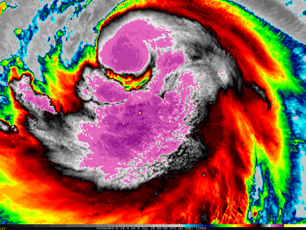
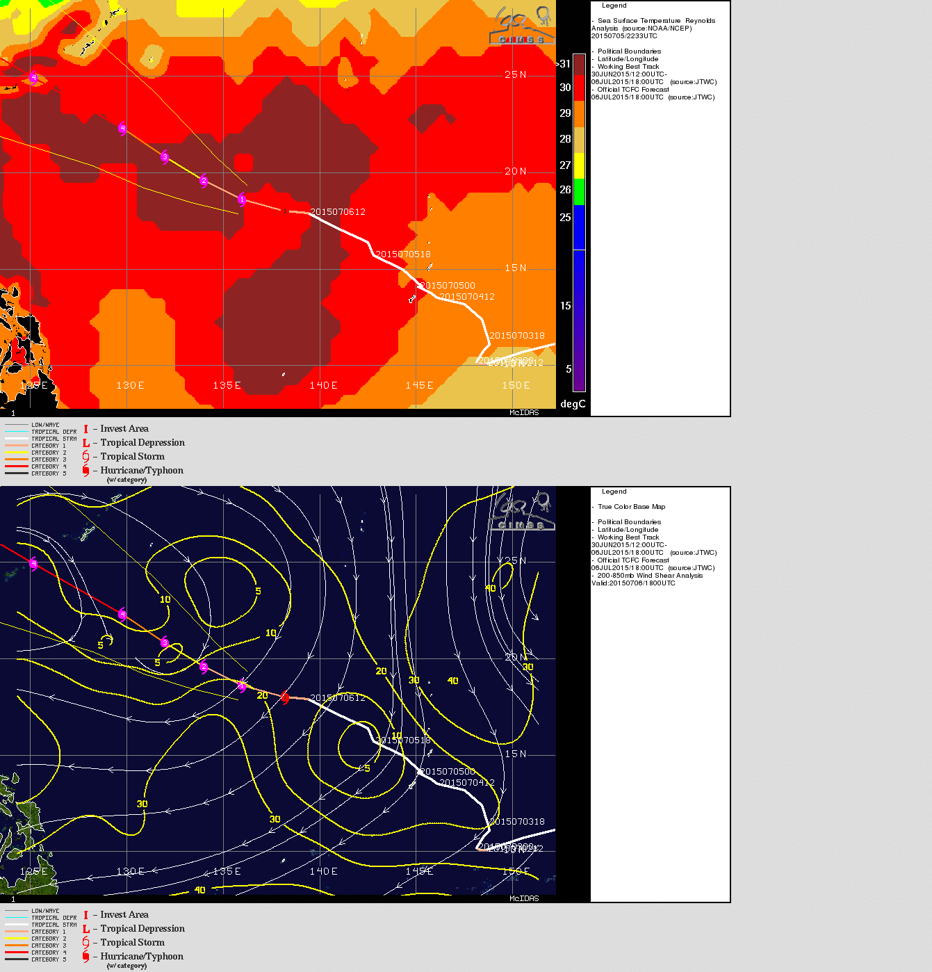
Typhoon Chan-Hom in the western Pacific Ocean is forecast to strengthen and move towards Taiwan later this week. A Himawari-8 target sector is viewing the storm today, and a 5-hour animation with a 2.5-minute time step (10.35 µm infrared imagery) is shown above. Very cold overshooting tops (the yellow enhancement show tops colder than -90º C) periodically develop. The toggle below of Sea Surface Temperature and Wind Shear (taken from the CIMSS Tropical Cyclones site) shows conditions — very warm sea-surface temperatures and low values of deep-layer wind shear — favorable for strengthening.
The three water vapor images shown below, also from Himawari-8, show that Chan-Hom is the 2nd of three tropical systems in a row. Linfa is west of the Philippines and approaching the coast of China; Nangka is east of Chan-Hom. Note that the 6.2 µm imagery is more sensitive to water vapor higher in the troposphere: Cirrus shields are apparent. The 7.3 µm imagery is not so sensitive to upper-level moisture and can therefore detect cumulus fields underneath cirrus.


