First images from Himawari-8
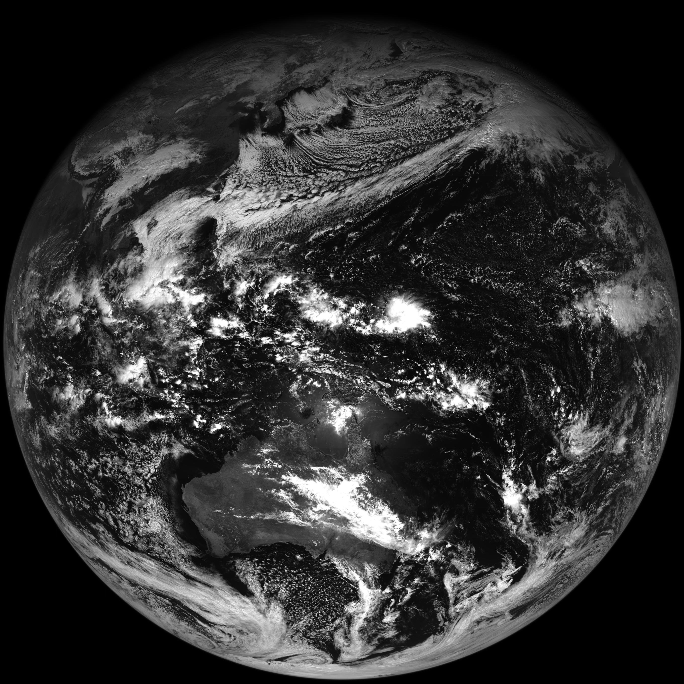
The Japan Meteorological Agency has released the first images from the AHI instrument on the Himawari-8 satellite, which was launched on 7 October this year.
This link shows full disk imagery from all 16 spectral bands. The AHI on Himawari-8 is very similar to the ABI that will fly on GOES-R.
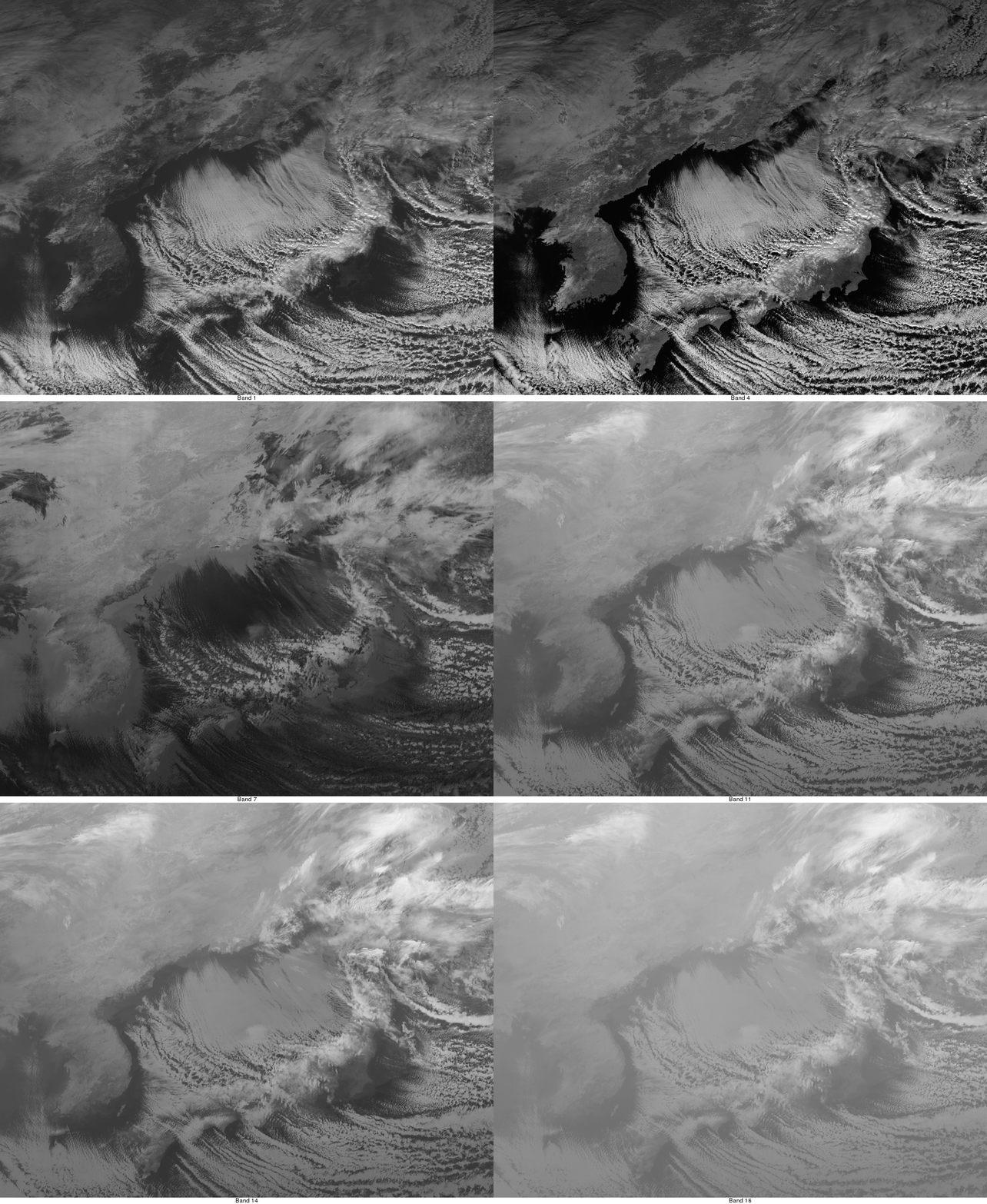
A comparison of images using each of the 16 spectral bands is shown below, centered over the Sea of Japan. Cloud streets are seen over much of the open waters, due to the southeastward and eastward transport of very cold air from Siberia (surface analysis). Lee waves (or “mountain waves”) are evident on the water vapor bands (8, 9 and 10) downwind or southeast of the higher terrain areas on the main Japanese island of Honshu.
| Band | 1 | 2 | 3 | 4 | 5 | 6 | 7 | 8 | 9 | 10 | 11 | 12 | 13 | 14 | 15 | 16 |
|---|---|---|---|---|---|---|---|---|---|---|---|---|---|---|---|---|
| µm | 0.47 | 0.52 | 0.64 | 0.86 | 1.6 | 2.3 | 3.9 | 6.2 | 6.9 | 7.3 | 8.6 | 9.6 | 10.4 | 11.2 | 12.4 | 13.3 |
Similar comparisons of Himawari-8 images covering Hawaii, western Australia, and the far Southern Hemisphere are available on the First Light AHI Satellite Band Webapp.
As seen on the MTSAT-2 vs Himawari-8 comparison below, even at large satellite viewing angles over the far southern portion of the Southern Hemisphere (for example, between Australia/Tasmania and Antarctica) AHI imagery such as that from water vapor channels exhibits higher quality (due to factors such as improved spatial resolution, signal-to-noise ratio, data bit depth, etc).


