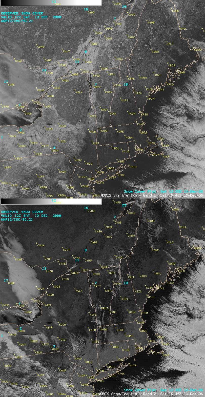
Major ice storm in the Northeast US
A major ice storm impacted much of the Northeast US on 11 December – 12 December 2008 — many locations across that region experienced several hours of freezing rain, leading to widespread ice accumulations of 0.5 to 1.0 inch which brought down tree limbs and power lines (causing power outages for an estimated 1 million customers). After the storm, AWIPS images of the MODIS visible and near-IR “snow/ice” channel from the morning of 13 December 2008 (above) offered some clues as to the areal coverage of the more significant ice accrual. Since snow and ice are strong absorbers of radiation at the near-IR 2.1 µm wavelength, the darkest areas on the snow/ice image are areas where the thickest accrual of ice occurred (although lakes and other bodies of water also appear as dark black features). Note that some of the darker ice-covered areas on the snow/ice image do not look as “bright” on the visible image as adjacent areas with deeper snow cover, since the ice (without a layer of snow on top) is generally more “translucent” or light gray in appearance than the brighter white snow cover.


