Occluding storm in the East Pacific Ocean
A rapidly occluding mid-latidude cyclone over the East Pacific Ocean on 11 November 2013 exhibited a classic “dry swirl” signature on McIDAS images of 4-km resolution GOES-15 6.5 µm water vapor channel data (above; click image to play animation).
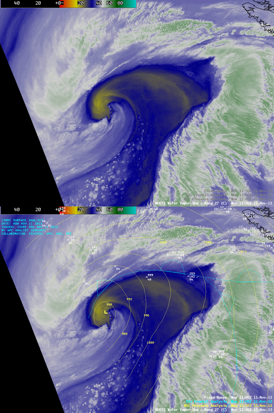
The dry swirl signature was beginning to form after about 11 UTC, as seen on an AWIPS image of 1-km resolution MODIS 6.7 µm water vapor channel data (below). There were no buoy reports near the storm center, but one bouy was reporting easterly winds gusting to 37 knots well to the northeast (just north of the occluded front).
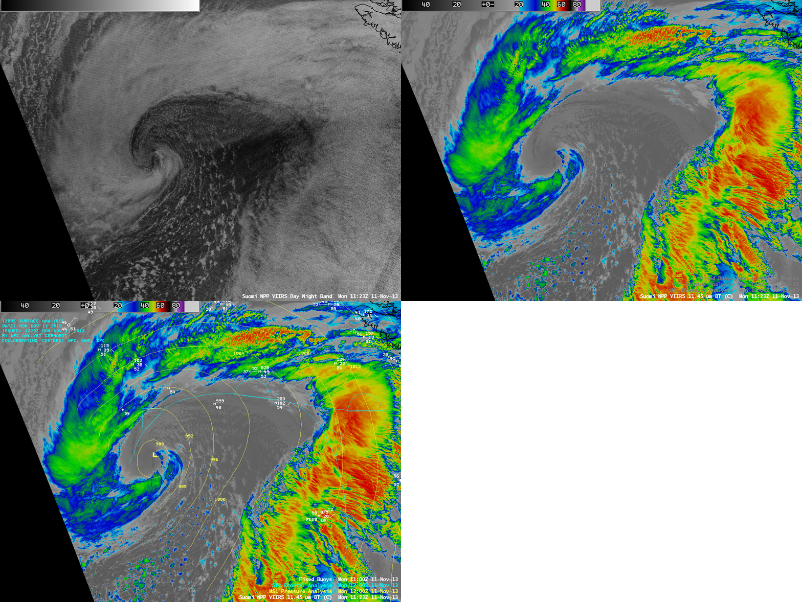
Shortly after the time of the MODIS water vapor image, a comparison of 1-km resolution Suomi NPP VIIRS 0.7 µm Day/Night Band and 11.45 µm IR channel images (below) showed similar details in the cloud structure as the occlusion process continued. Since it was still local night-time, the clouds were illuminated primarily by airglow (the Moon was in the waxing gibbous phase, at 68% of full; however, it was below the local horizon at that particular time) — this provides an example of the “visible image at night” capability of the VIIRS Day/Night Band.

Suomi NPP VIIRS 0.7 µm Day/Night Band and 11.45 µm IR images, with surface analysis and buoy reports


