Potential Vorticity (PV) anomaly aiding convective development
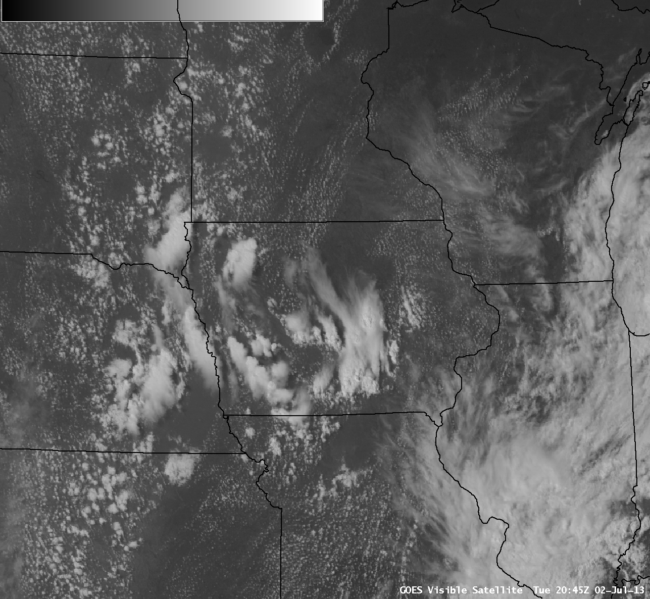
AWIPS images of GOES-13 0.63 µm visible channel data (above; click image to play animation) showed the development of pockets of thunderstorms across Iowa, eastern Nebraska, and northwestern Missouri on 02 July 2013. Several of these storms produced hail up to 1 inch in diameter (SPC storm reports).
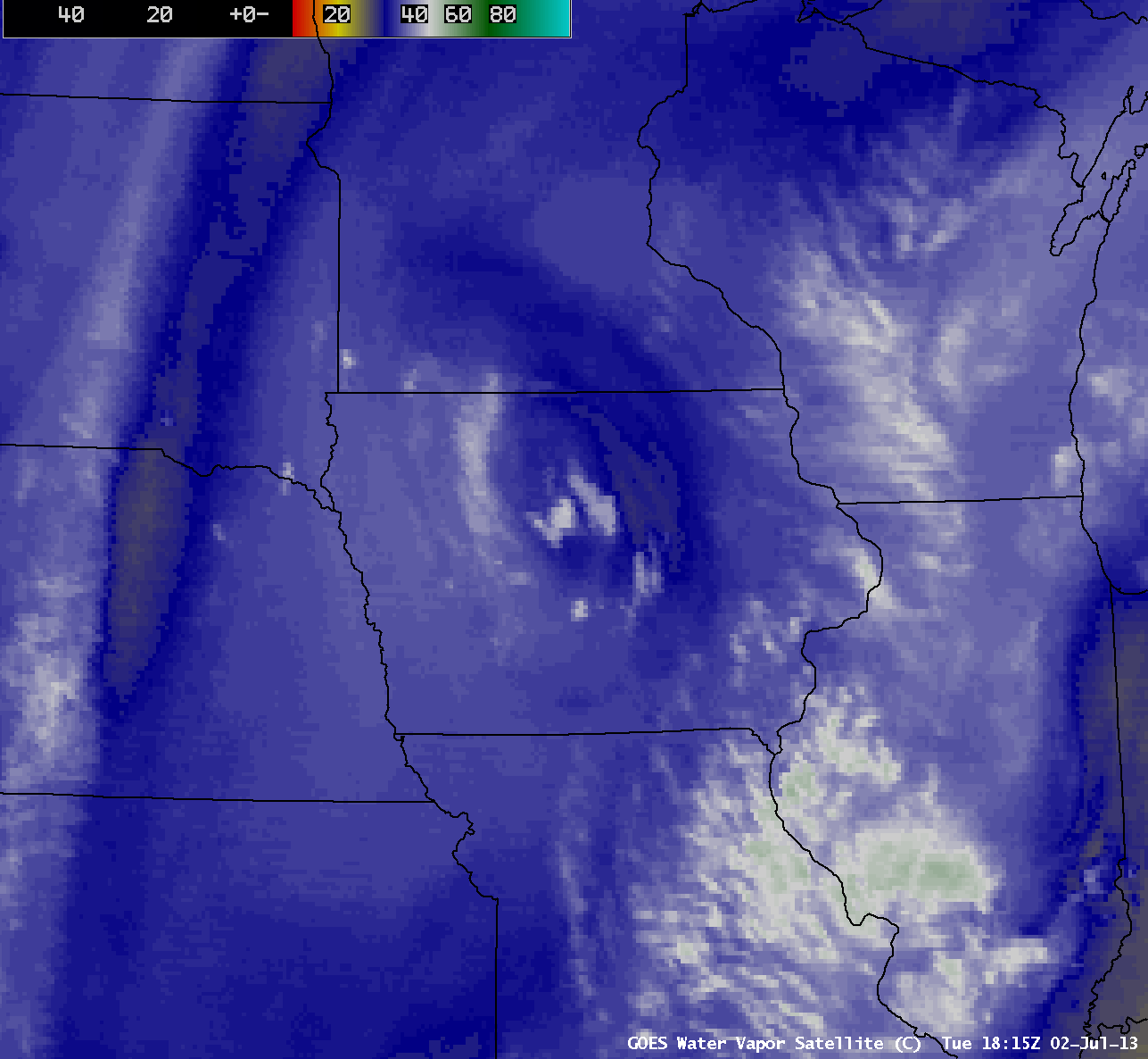
Note the pronounced cyclonic spin across the region of thunderstorm development — this was due to the approach of a compact shortwave trough that was rotating around the western periphery of a larger-scale upper-level trough of low pressure that was centered over the middle Mississippi River valley on that day. This shortwave trough had a nice signature on GOES-13 6.5 µm water vapor channel images (below; click image to play animation).
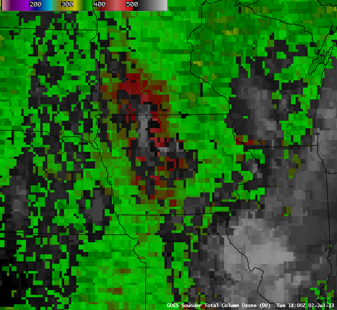
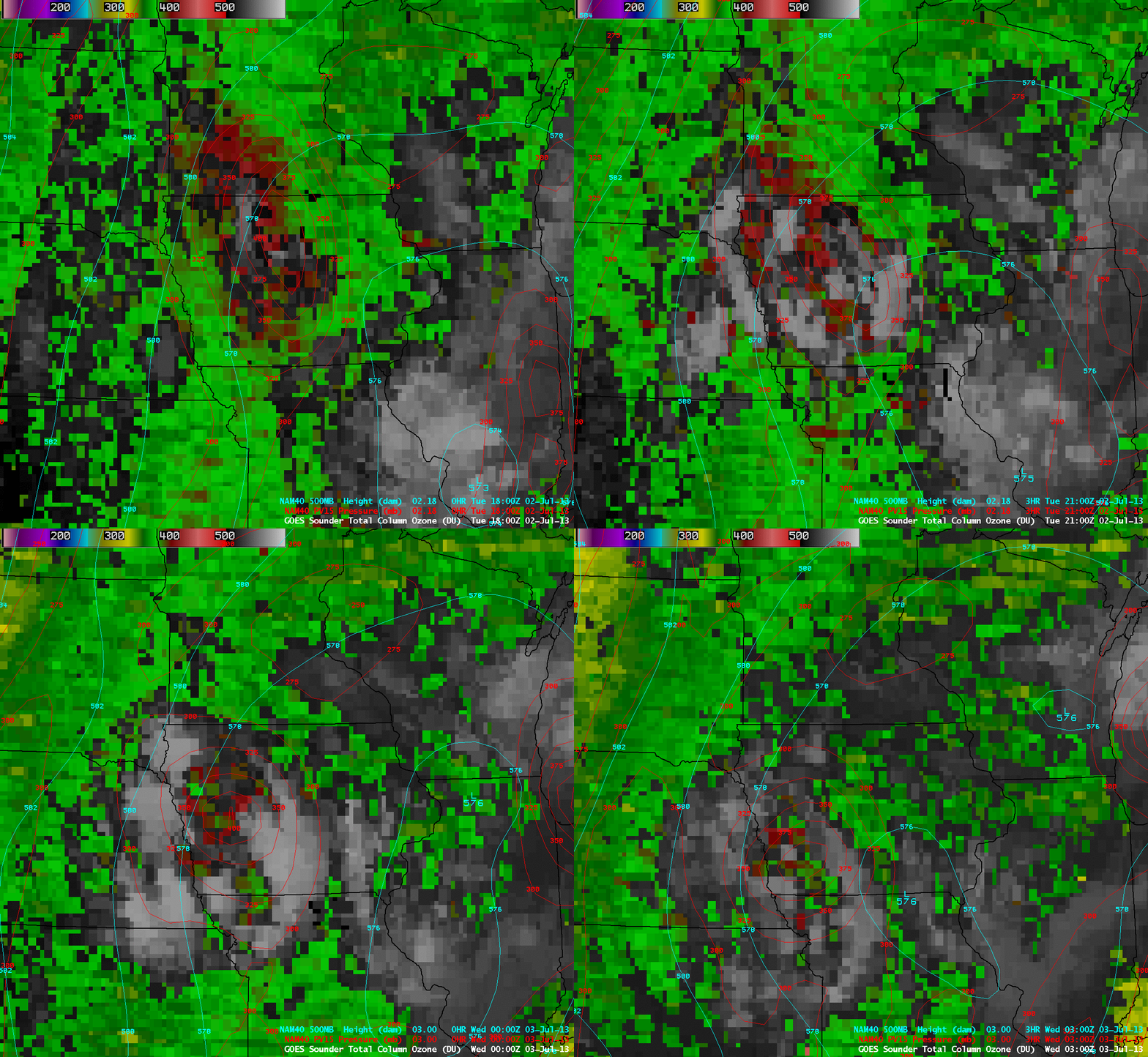
In addition, the GOES-13 sounder Total Column Ozone (TCO) product (above; click image to play animation) revealed that a distinct maximum in TCO values (red color enhancement) accompanied this disturbance. NAM40 model overlays of the pressure of the Potential Vorticity (PV) 1.5 surface (a general indicator of the height of the dynamic tropopause) suggested that a PV anomaly was associated with the high TCO values (below) — and this PV anomaly was likely helping to dynamically force some of the development of thunderstorms seen across the region.


