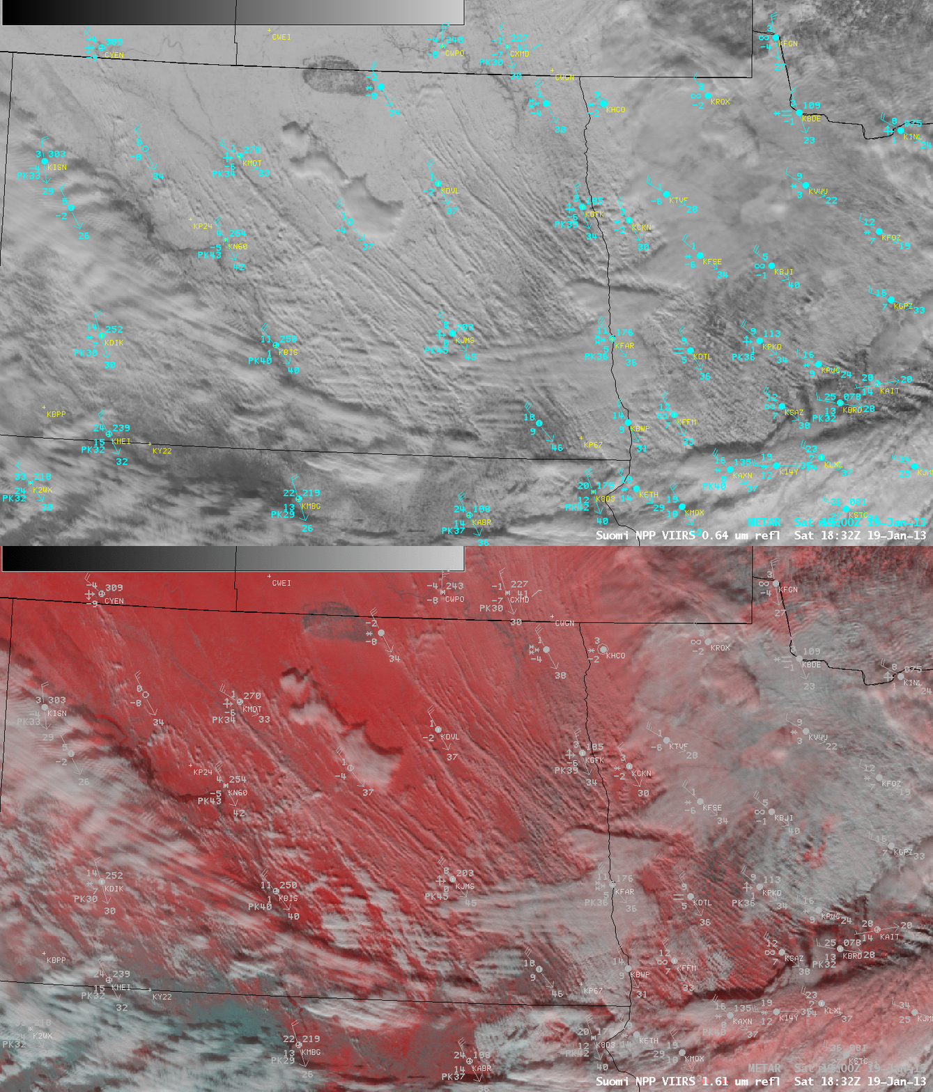
Ground blizzard conditions across the north-central US
A comparison of AWIPS images of Suomi NPP VIIRS Visible (0.64 µm) and False Color Red-Green-Blue (RGB) composite (above) showed a number of horizontal convective roll clouds over parts of eastern North Dakota and northwestern Minnesota that had formed in response to strong northwesterly winds in the wake of an arctic cold frontal passage on 19 January 2013. On the False Color image, snow cover appeared as shades of red, bare ground was cyan, and cloud features were varying shades of white.McIDAS images of GOES-13 Visible (0.63 µm) visible data (below) showed the development and evolution of numerous long horizontal convective roll clouds. Although new snowfall amounts on this day were very light (generally 0.5 inch or less), the strong northwesterly winds — with wind gusts as high as 61 mph in northwestern Minnesota, 59 mph in North Dakota, and 53 mph in northeastern South Dakota — created significant blowing snow that was reducing visibility to 1/4 mile or less across parts of the region. The blowing snow (along with some brief, heavy snow showers) tended to be more focused and intense in the vicinity of the horizontal convective rolls and their associated cloud streamers.


