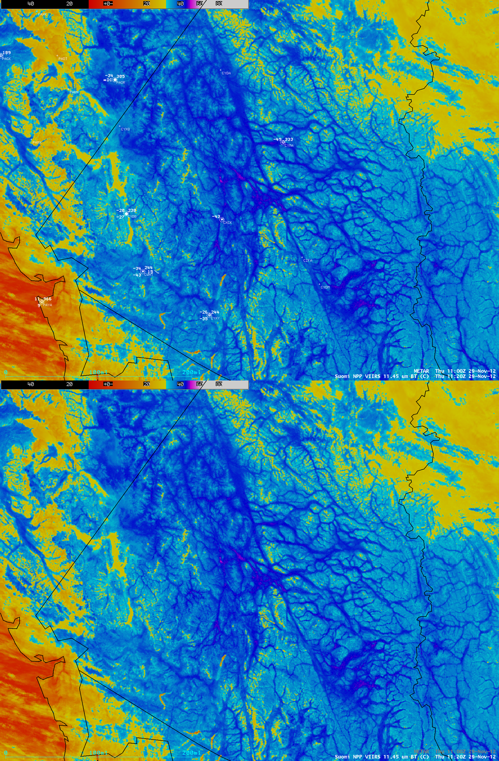
Cold air drainage into the valleys of the Yukon
As an area of arctic high pressure settled over the Yukon region of northwestern Canada on 29 November 2012, strong radiational cooling led to very cold surface air temperatures (-49º F at Mayo, station identifier CYMA) and drainage of this cold, dense air into the valleys and lower elevations. An AWIPS image of Suomi NPP VIIRS 11.45 µm IR channel data with an overlay of METAR surface reports (above) showed the dendritic pattern of cold air drainage into the valleys (darker blue color enhancement); the coldest IR brightness temperature on the image was -51º C (violet color enhancement).
Even though fog and freezing fog was being reported at a few of the surface stations, a comparison of the Suomi NPP VIIRS 11.45 µm IR, 0.7 µm Day/Night Band, and the 11.45-3.74 µm “fog/stratus product” images (below) indicated that not all of the valley fog features could be easily seen — in particular, most of the areas of shallow ice fog did not exhibit a signal on the Day/Night Band or the fog/stratus product IR brightness temperature difference images.


