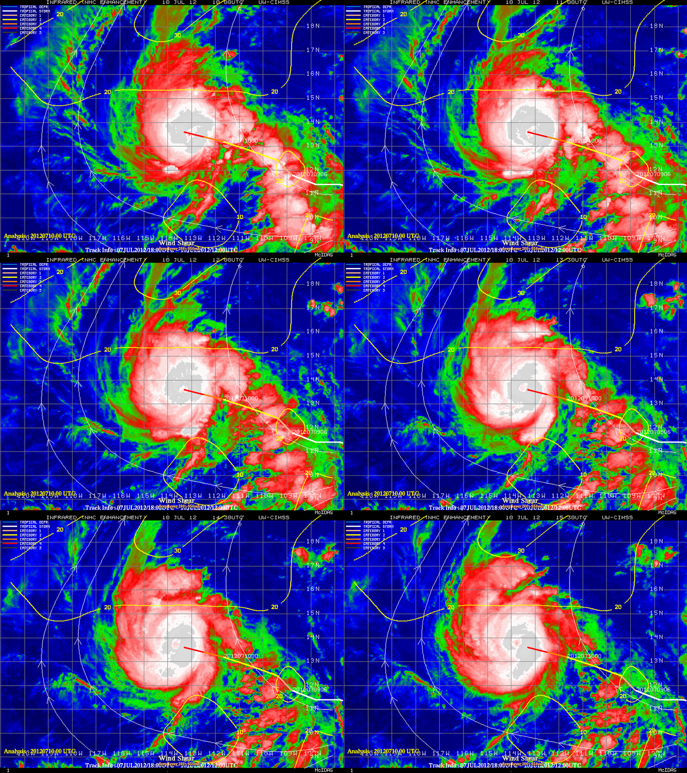
Hurricane Emilia in the East Pacific Ocean
McIDAS images of 1-km resolution GOES-15 0.63 µm visible channel data (above; click image to play animation) showed that Hurricane Emilia was beginning to exhibit as well-defined eye as it rapidly intensified over the East Pacific Ocean on 09 July 2012.
During the subsequent night-time hours, an eye signature was still evident on 4-km resolution GOES-15 1-.7 µm IR channel images (below; click image to play animation). Cloud top IR brightness temperatures were as cold as -82 C (violet color enhancement) at 06:00 UTC.
Emilia was in an environment of low deep-layer (850-200 hPa) wind shear (below), which was one factor that favored intensification.


