Large upper-level low approaches Hawaii
McIDAS images of GOES-15 6.5 µm water vapor channel data with overlays of hourly water vapor atmospheric motion vectors (above; click image to play animation) revealed the large cyclonic circulation of an upper-level low that was moving westward toward the Hawaiian Islands on 21 May – 22 May 2012. The warm water vapor brightness temperatures (yellow color enhancement) exhibited within the core of the low indicated that the air in the middle to upper troposphere was rather dry.
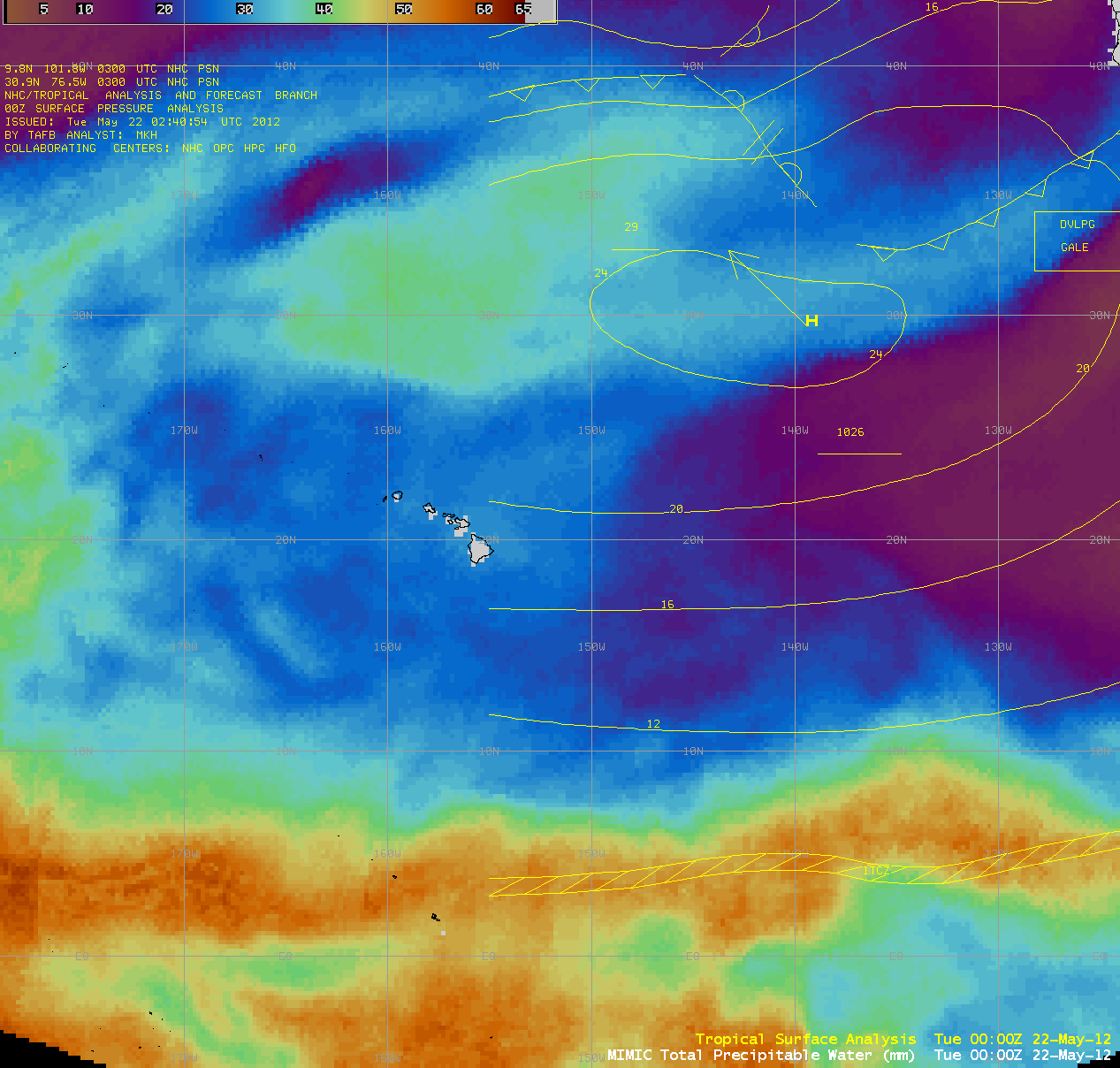
AWIPS images of the MIMIC Total Precipitable Water product (below; click image to play animation) showed that the upper-level low was not effectively tapping into the band of high moisture along the Inter-Tropical Convergence Zone (ITCZ). Since there was no surface feature associated with this upper-level low, the only significant impacts to Hawaii were strong winds at the higher elevations — a wind advisory was issued for the summits above 6000-8000 feet.


