Mesoscale Convective Vortex in Nebraska
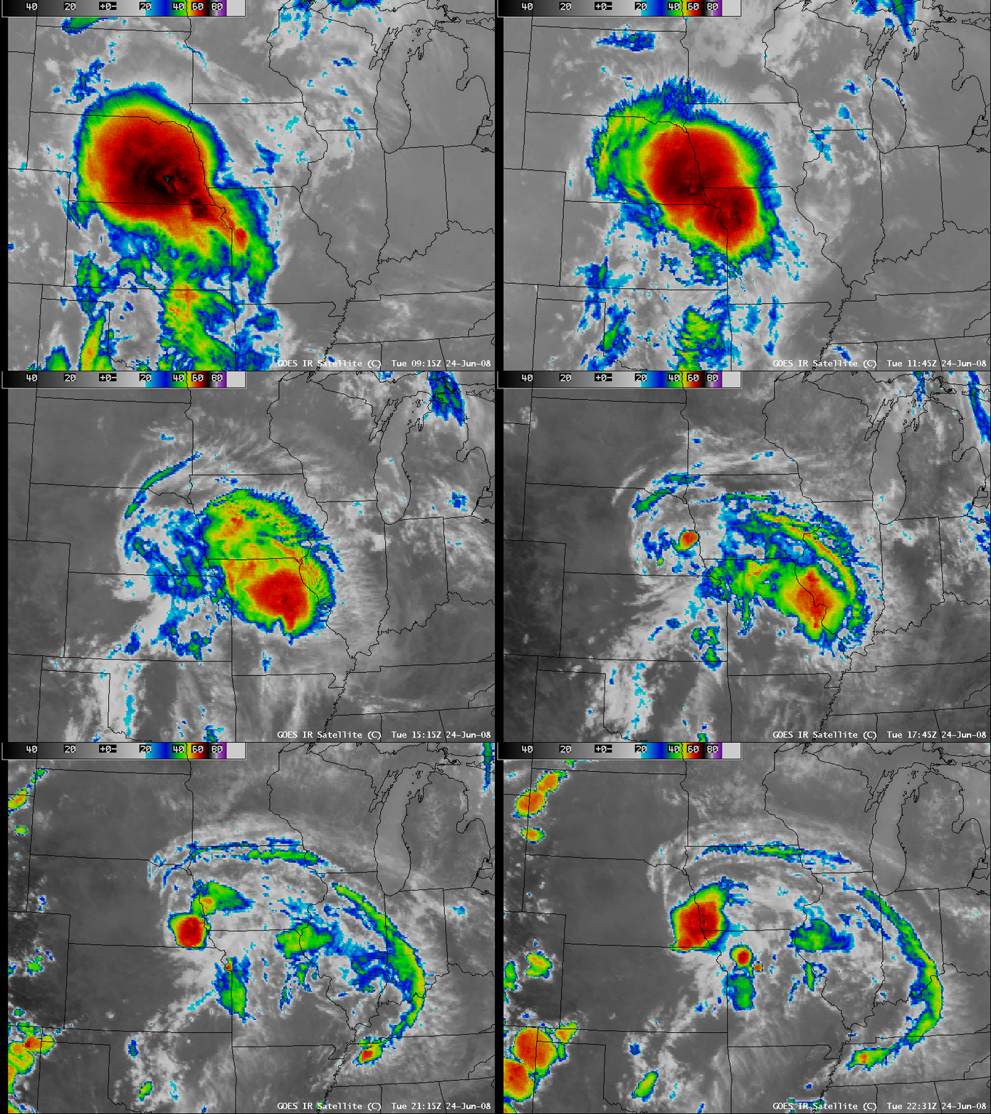
A large mesoscale convective system (MCS) developed over Nebraska during the pre-dawn hours on 24 June 2008, and AWIPS images of the GOES-12 10.7 µm IR channel (above) showed the extensive coverage of very cold cloud top temperatures (-60 to -70º C, red to black color enhancement) associated with this convective activity. This MCS was responsible for some weak tornadoes and small hail across parts of Nebraska (SPC storm reports), but the main impact was heavy rains that produced flooding — in Nebraska, 3.70 inches was reported at Gibbons, and 2.10 inches fell at Waterloo in a 1-hour period.
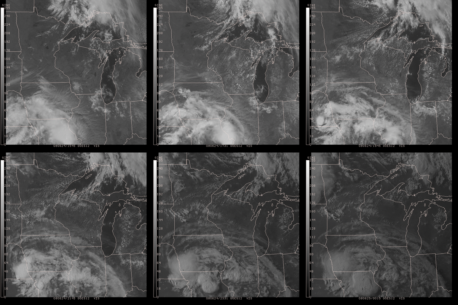
As the MCS moved eastward and began to decay during the daytime hours over Iowa and Missouri, the cyclonic circulation of a mesoscale convective vortex (MCV) became apparent over southeastern Nebraska on both the GOES-12 IR imagery above, and also on GOES-12 visible channel imagery from the UW-Madison AOS site (below). This MCV apparently played a role in the development of new convection later in the day over southeastern Nebraska, which produced hail up to 1.0 inch in diameter.


