The extratropical transition of Typhoon Ampil
Himawari-9 airmass RGB imagery, above, shows the extratropical transition of Typhoon Ampil. At the beginning of the animation, the typhoon is approaching Japan from the south. By 0000 UTC on 17 August, the typhoon has moved east of Japan, and a Potential Vorticity anomaly just west of the storm (identifiable by the orange hue in the RGB) suggests the storm is starting to become extratropical. By 0000 UTC on 19 August, a second mid-tropospheric potential vorticity anomaly (also identifiable by its orange hue in the RGB), is moving over Kamchatka and the Kuril Islands just west of the evolving typhoon and being incorporated into the storm. Airmass RGBs are a useful product in highlighting the possibility of a rapid transition of typhoons to a strong extratropical storm (another example is 2022’s Typhoon Merbok).
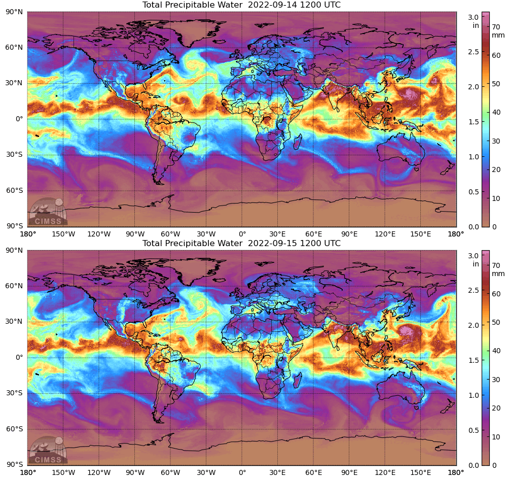
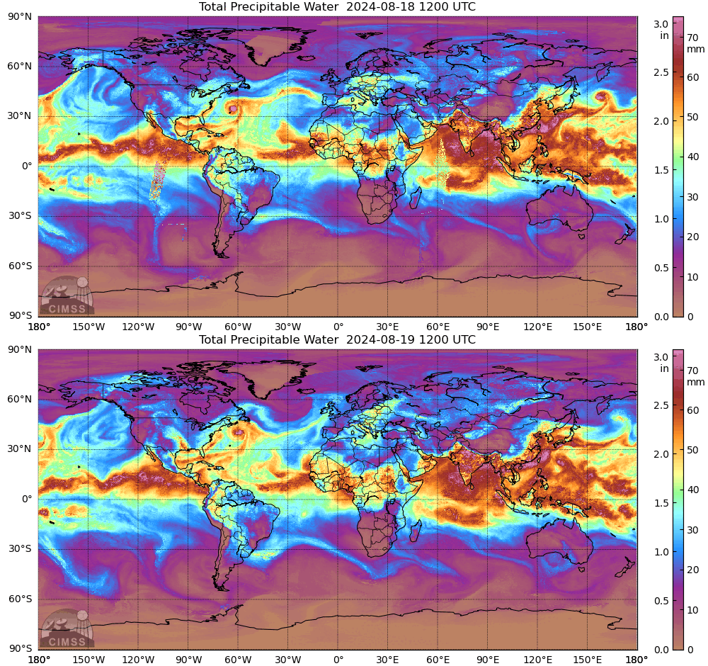
Merbok was a very intense storm after it became extratropical, far stronger and damaging than Ampil. One notable difference between the two storms was the connection between the storms and tropical moisture. MIMIC Total Precipitable Water fields for Merbok, below, at 1200 UTC on 14-15 September 2022 (source), show a connection to the rich moisture of the Intertropical Convergence Zone (a MIMIC TPW animation is also available here, from this blog post). That direct connection is missing for Ampil, and might be one of many reasons for the differences in extratropical storm strength.


Thanks to Eddie Zingone, WFO ANC for mentioning Ampil’s extratropical transition on a telecon this week!

