Madison sets a new record for total winter season snowfall
The previous all-time record for total winter season snowfall in Madison, Wisconsin was 76.1 inches (set in 1978/1979); however, the winter of 2007/2008 decided that would be an easy record to break…and on the morning of 12 February 2008, the old winter season record was finally eclipsed by 1.8 inches of fluffy snowfall. Not content to stop there, the atmosphere conjured up another round of snowfall later in the day, courtesy of a potential vorticity (PV) anomaly that propagated eastward from eastern Iowa into northern Illinois and southern Wisconsin.
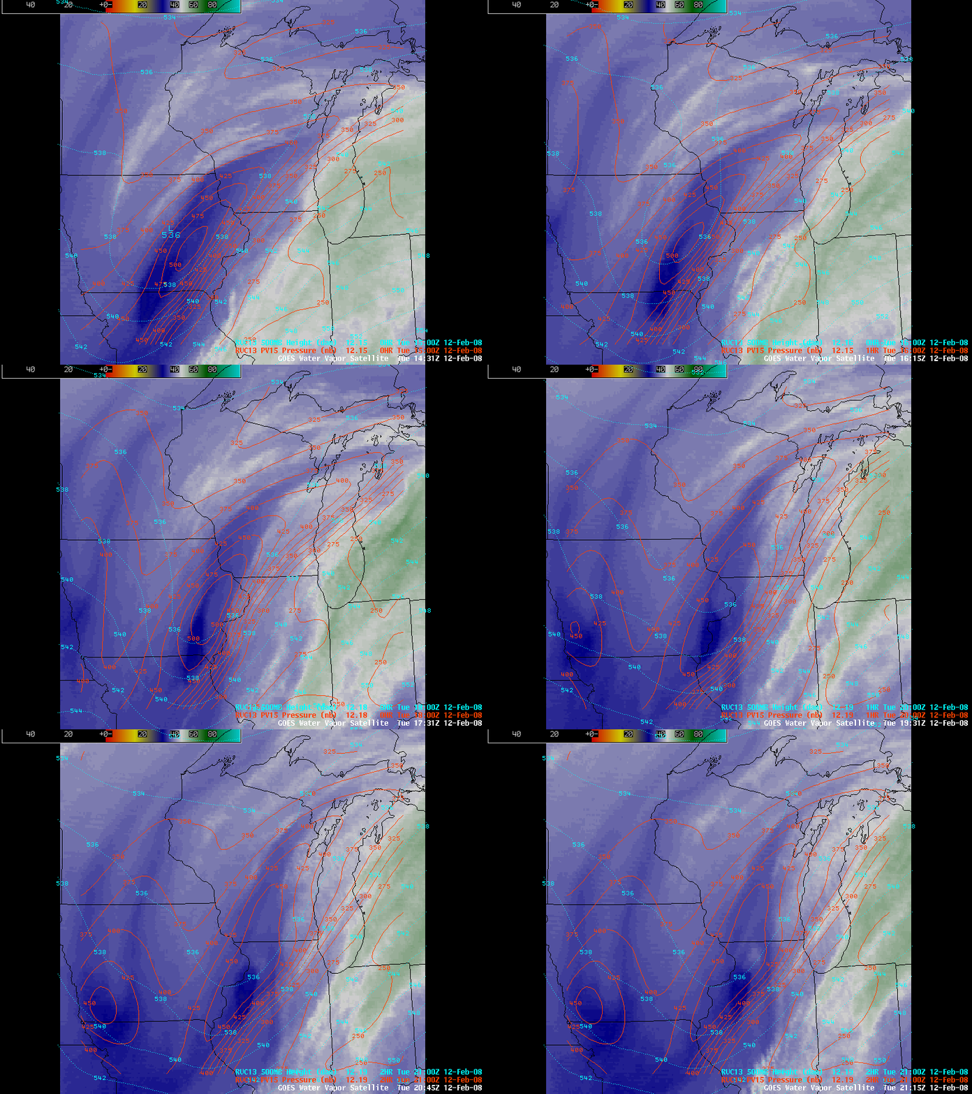
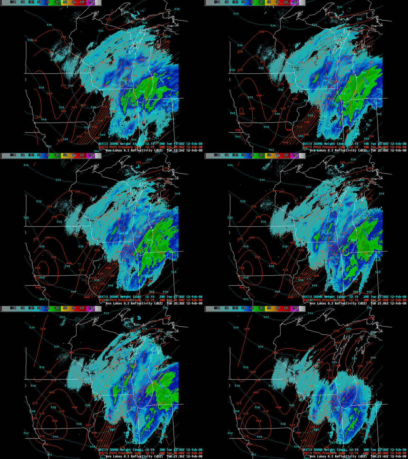
AWIPS images of the GOES-12 6.5µm “water vapor” channel (above) showed a warm/dry signature (darker blue enhancement) associated with the core of the PV anomaly — the “dynamic tropopause” (taken to be the pressure of the 1.5 Potential Vorticity Unit surface) was extruded downward to as low as about the 500 hPa pressure level early in the day. PV anomalies tend to induce upward vertical motions as they approach a given area, and in this case the approaching PV anomaly helped to generate another band of moderate snowfall in southcentral Wisconsin, as seen by the radar reflectivites (below) greater than 20 dBz (green enhancement) that added another 2.0 inches to Madison’s ever-growing winter season snowfall total.
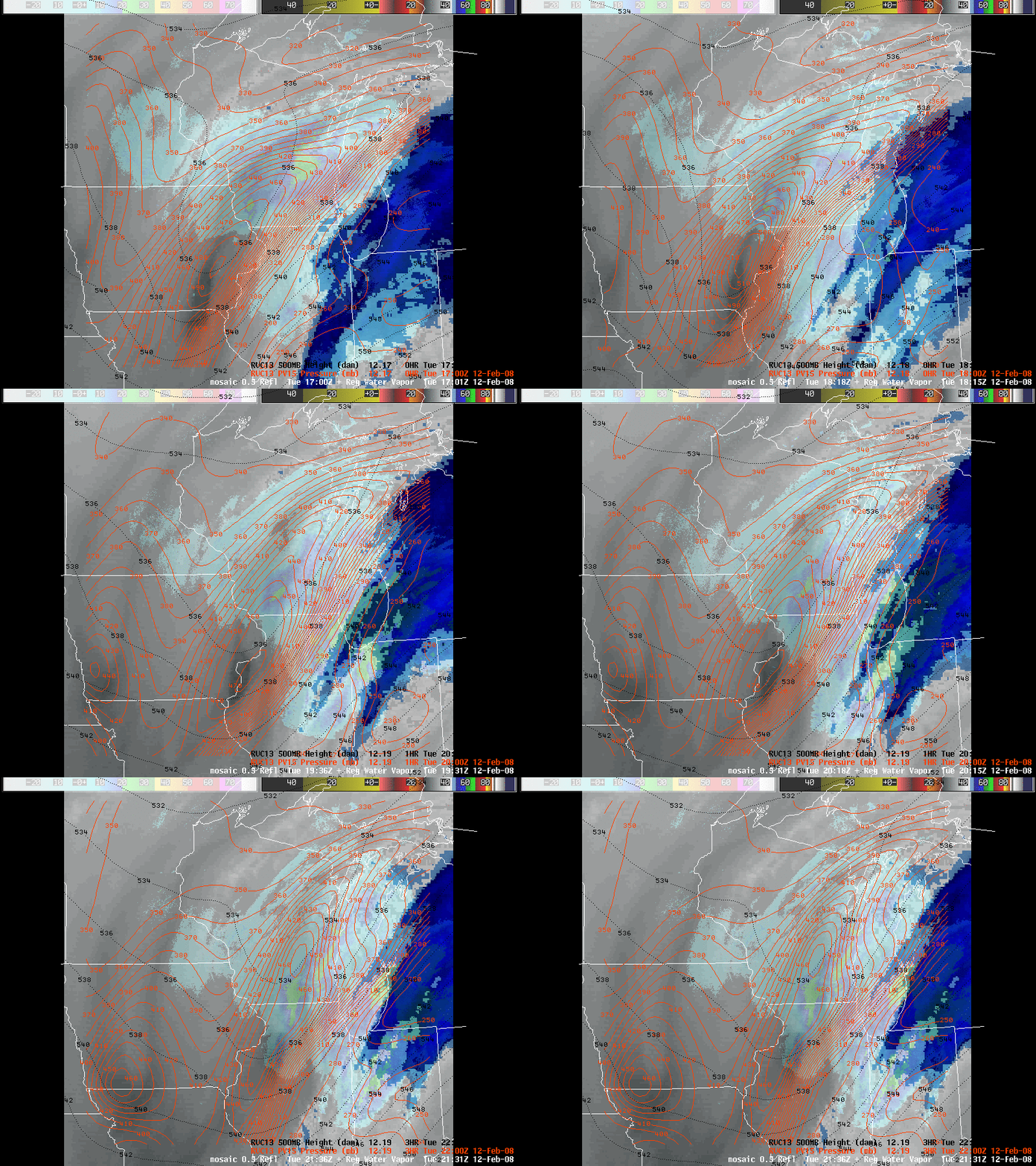
An AWIPS image combination of the GOES-12 water vapor imagery (with a different color enhancement) plus the radar base reflectivity is shown below.


